upcruiser
Perpetual Transient
We had another great evening with a campfire that night, sad to know we had to start the journey back to Moab in the morning. Alyssa had to get back to work and we had to get her back to her car where we left it in Moab.

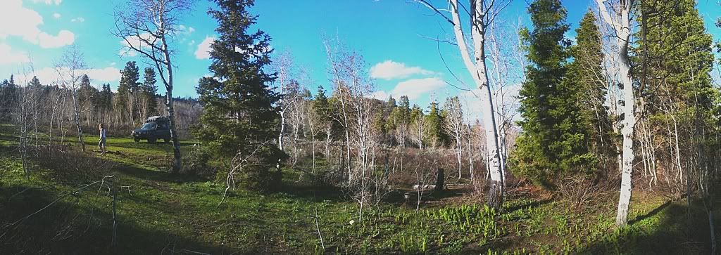
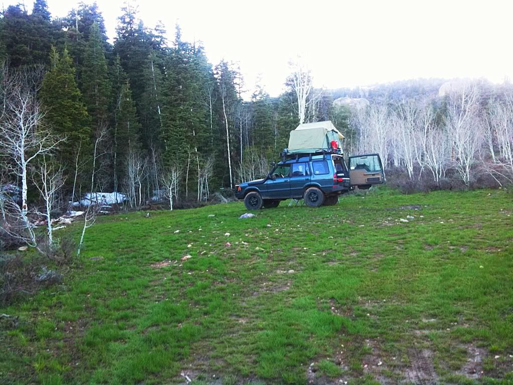
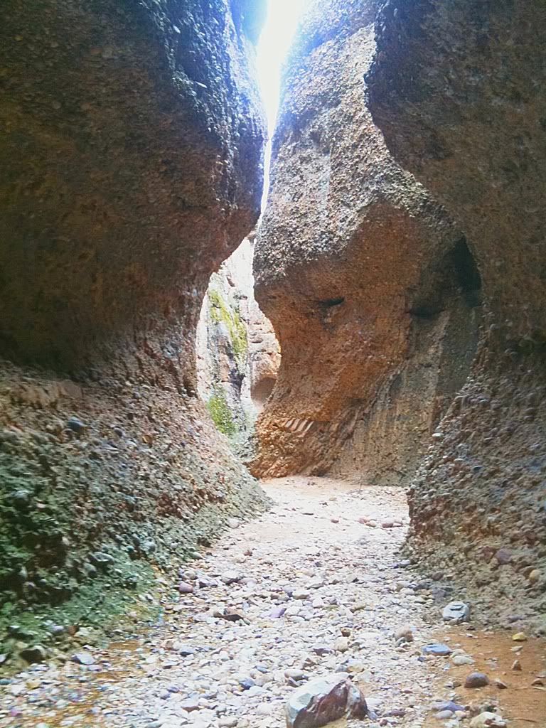
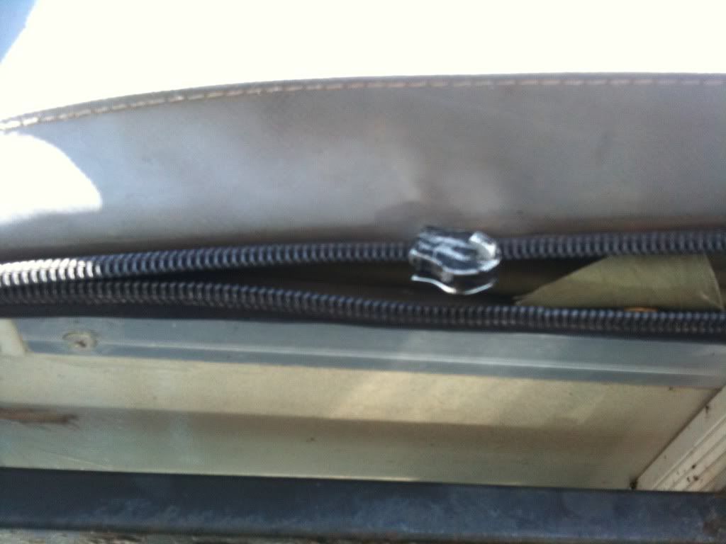
Last morning at Toroweep, making breakfast in the enclosure. It is nice for when the conditions aren't ideal and or you need an escape from the sun. We were stoked though that Walt's weather predictions were wrong. The previous day and night ended up being calm and beautiful. So glad we stayed. We got camp packed up fairly quickly. I love how much more efficiently setup and breakdown is with two people who know what they are doing versus doing it solo. SO nice. Again, the damn zipper is not making things easy on the cover. With alot of coaxing and the use of my leatherman we get it zipped to the back, but with some teeth not engaging. Kind of a pain in the butt.
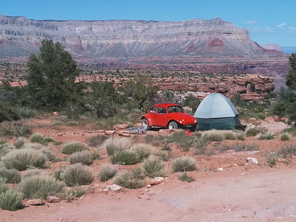
We chatted with this family briefly. A husband and wife with two teenage daughters, loaded up with their camping gear into their Baja Bug and setup at Toroweep. LOVE IT! Brings back memories of my camping trips with my dad and brother in our Volkswagen Thing. Note to self, I really, really want to get an old late '60's Beetle someday...
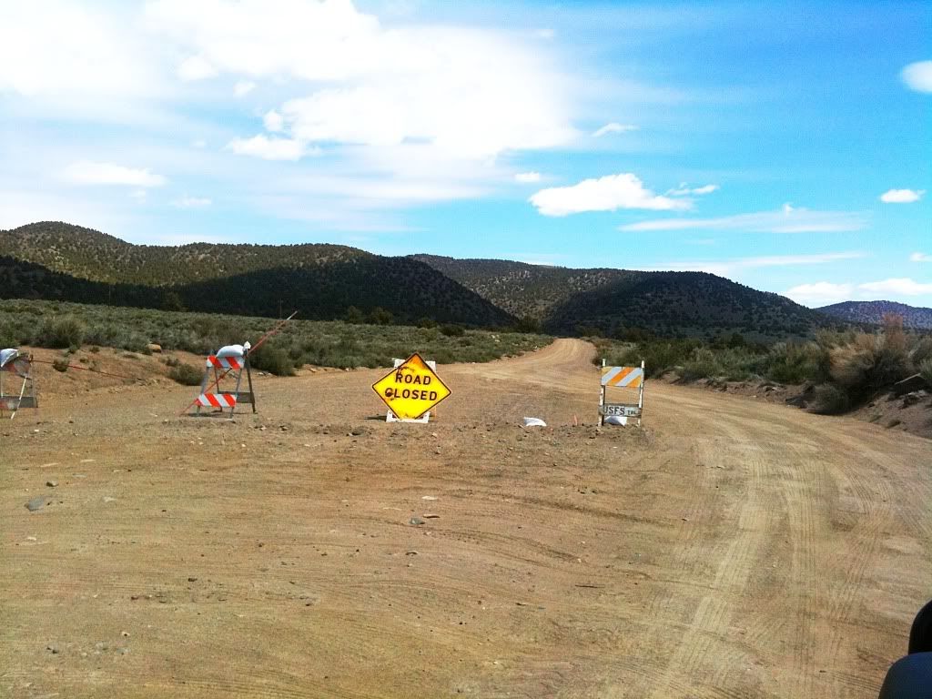
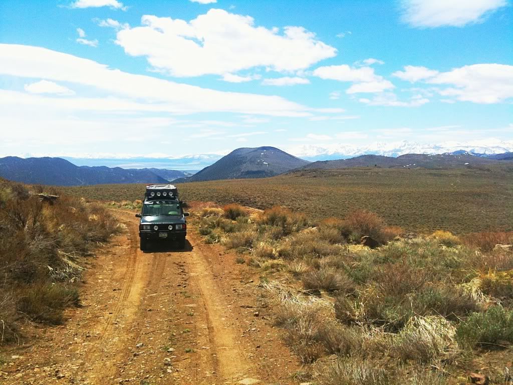
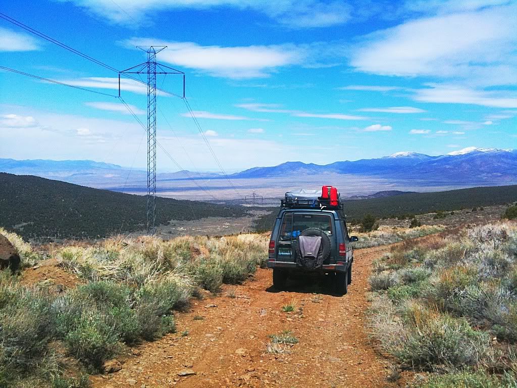
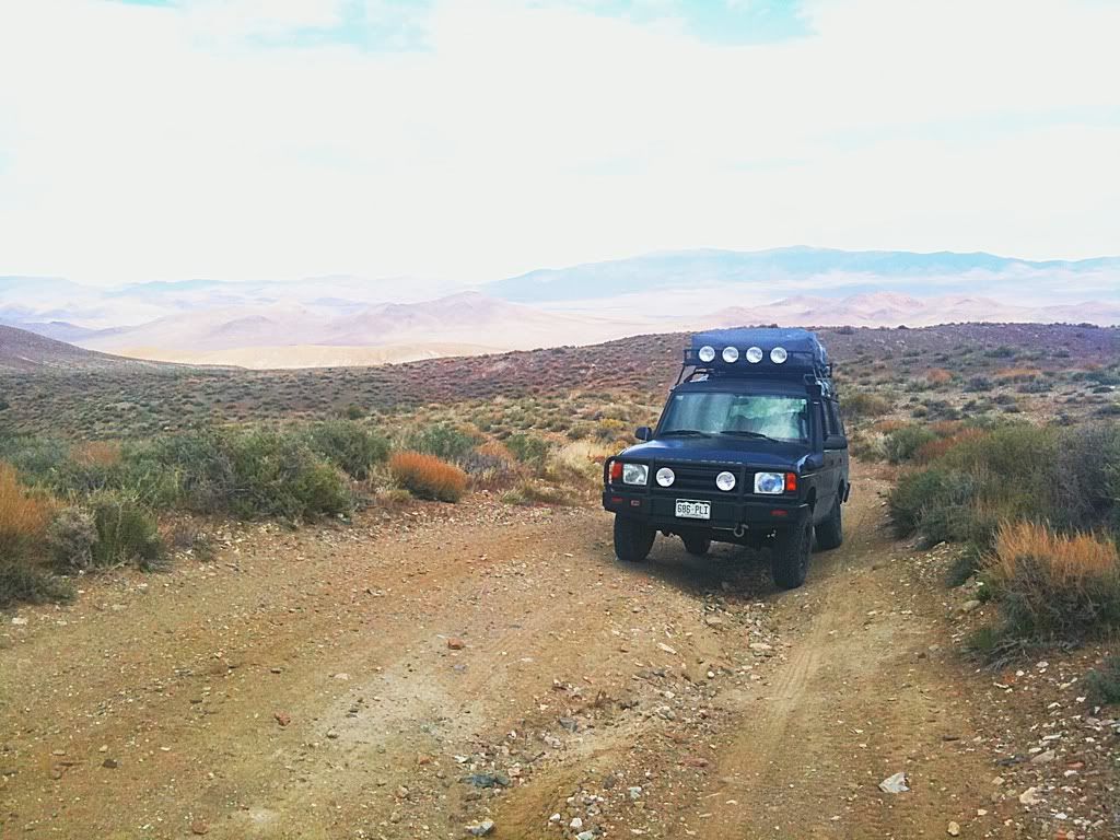
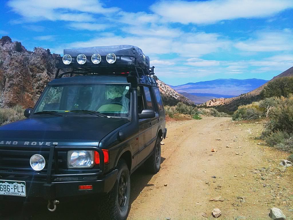
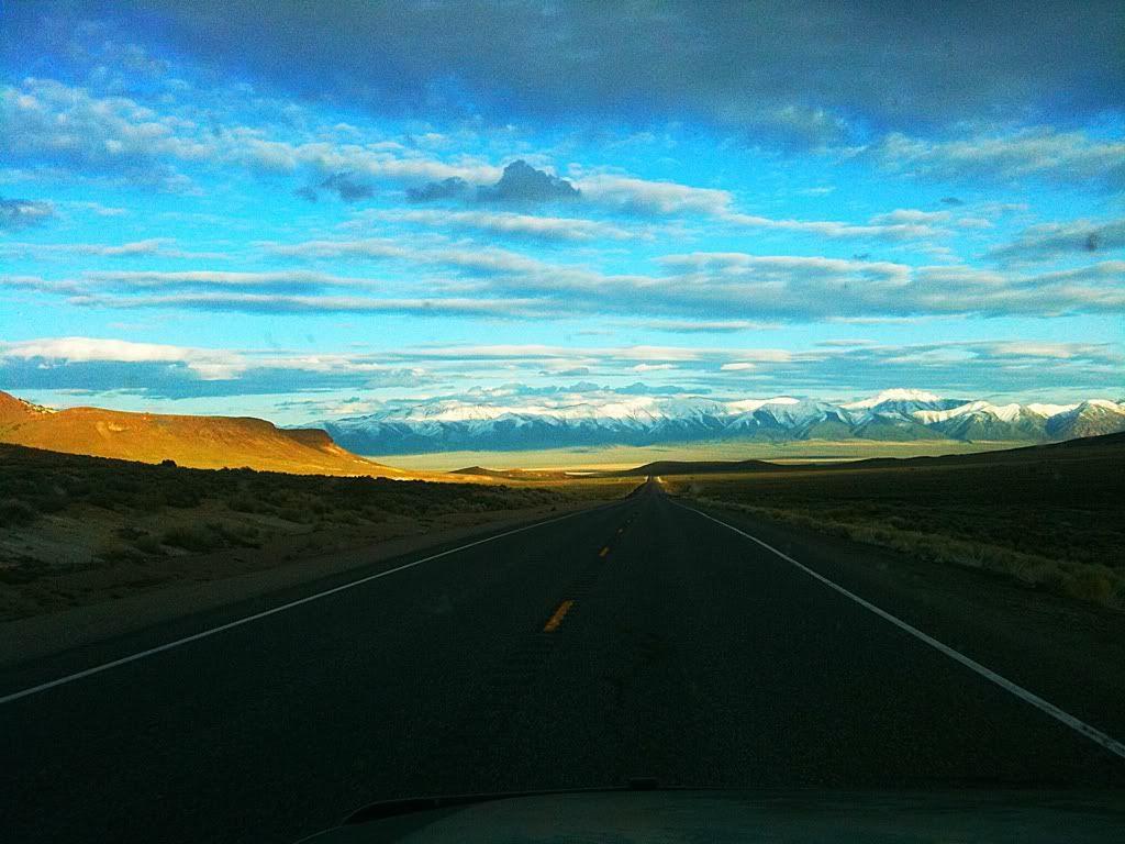
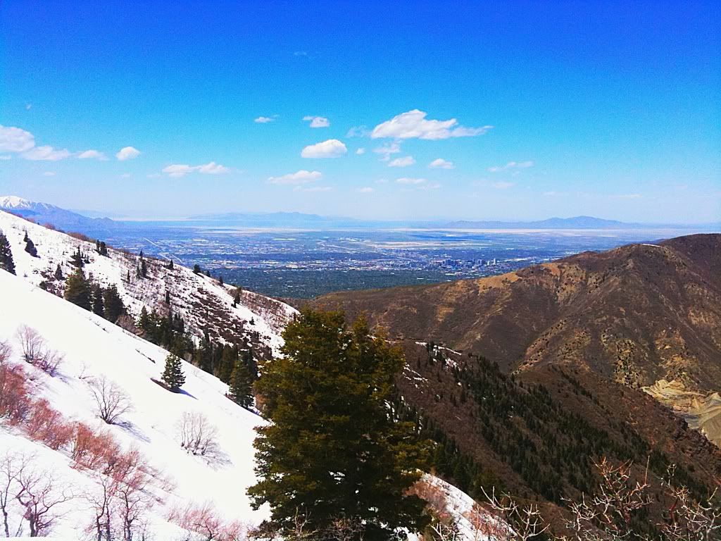
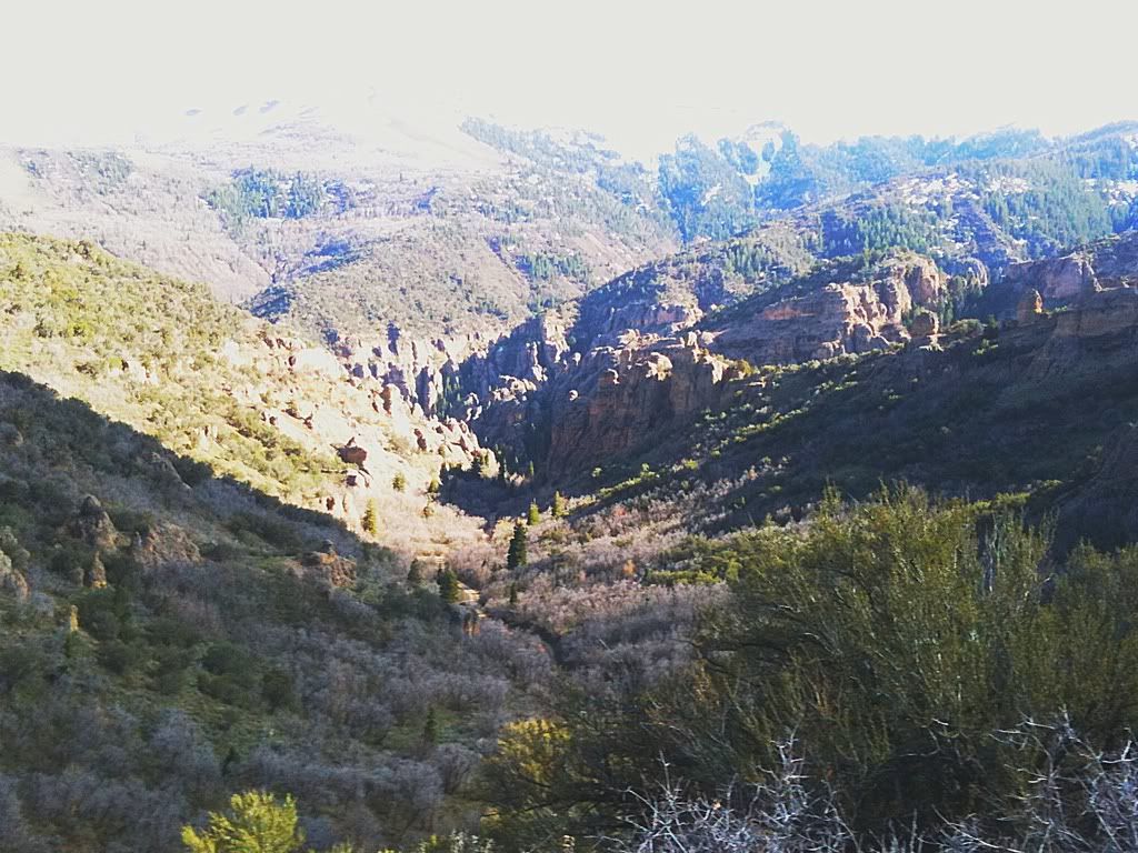
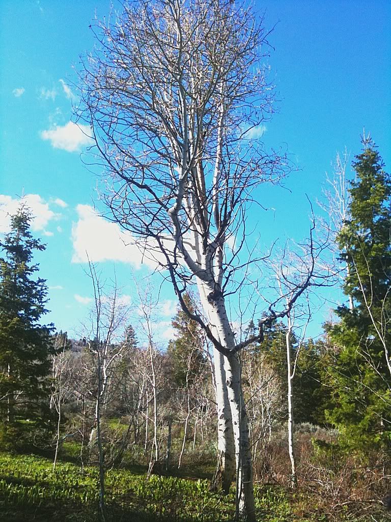
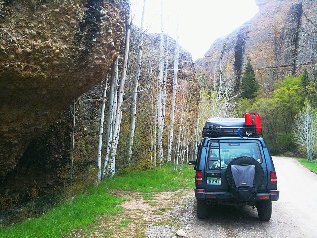
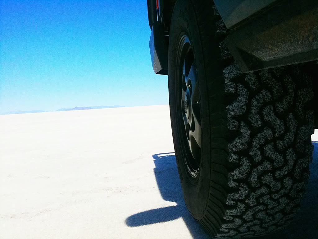
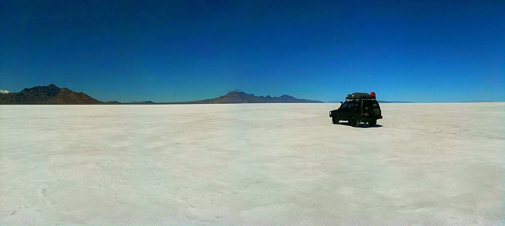
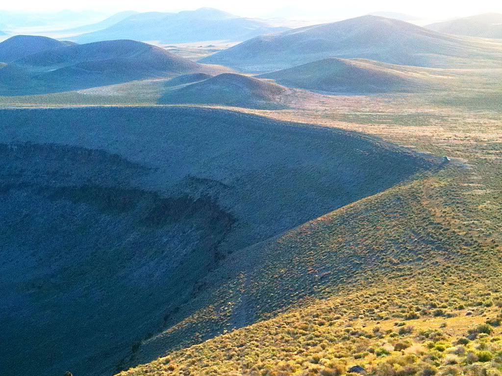
Getting back on the dirt road back out we immediately got behind a procession of three slow moving vehicles. They were some hikers from New Mexico that had camped near us. Not that I travel at prerunner speeds or anything but their 20mph speeds and huge cloud of dust was getting old fast. I was surprised that they didn't yield and pull over and it took me the action of pulling up and around to pass to get them to realize that maybe they should pull off and let me by. This was after 10 painful miles of sucking dust. Once past we didn't see another vehicle the rest of the way back to pavement. We stopped in Kanab to grab some grub from a cafe and then had a great time driving pavement up highway 89 to highway 12 driving through the area near Bryce Canyon, Escalante, Capitol Reef, and through the town of Boulder. I was curious to see Boulder as Sinuhe has mentioned it being such a great area. What a great mix of scenery. I really wished I was driving a Porsche though and not an overladen, top heavy Disco on skinny tires. That is some serious world class sports car (or sports bike) road there. Regardless it was still fun in the Discovery. I can see the appeal of Boulder, with the red rock to the south, the forests and mountainous terrain to the north and the expanse of land I really need to explore to the east towards the Henry Mountains. Looks super cool.
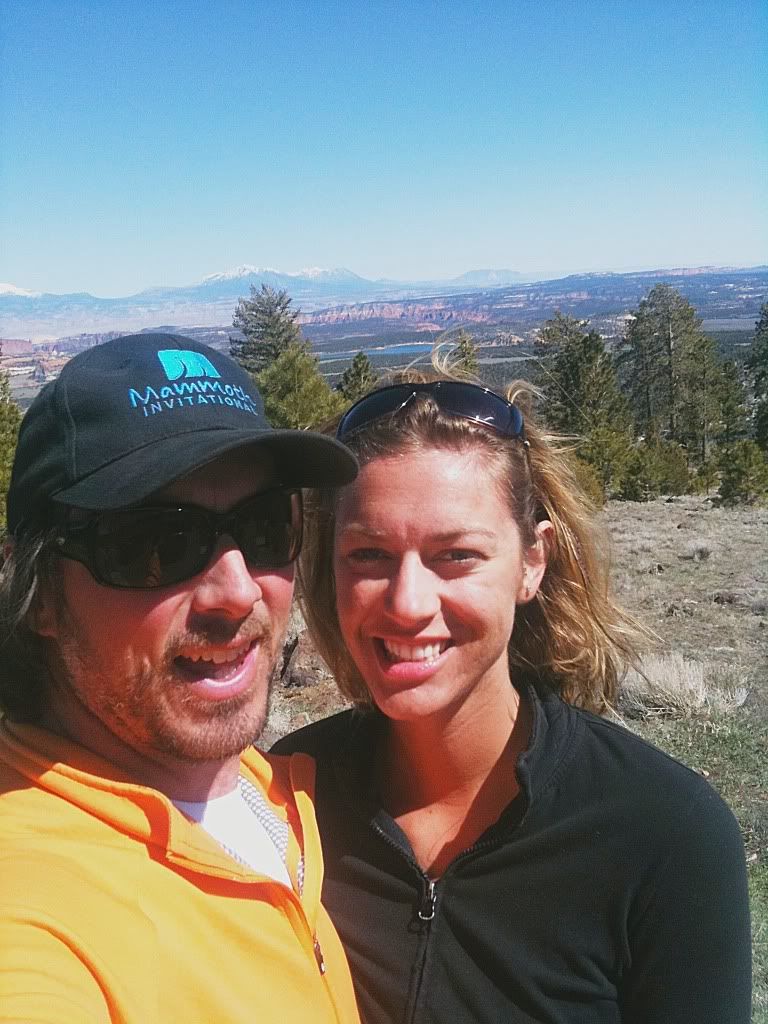
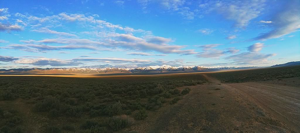
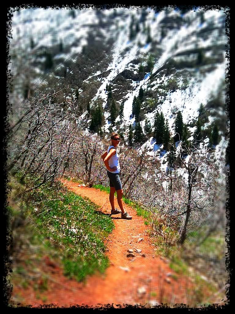
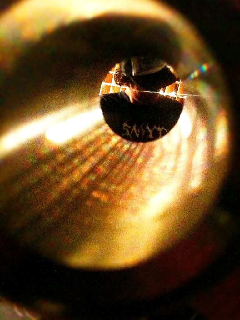
Self portrait at a pull off north of Boulder looking east towards the Henry Mountains.
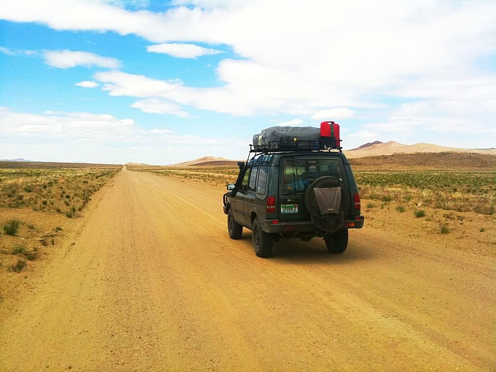
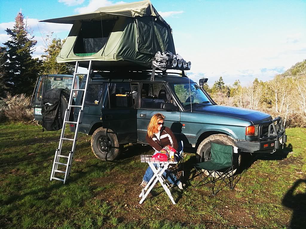
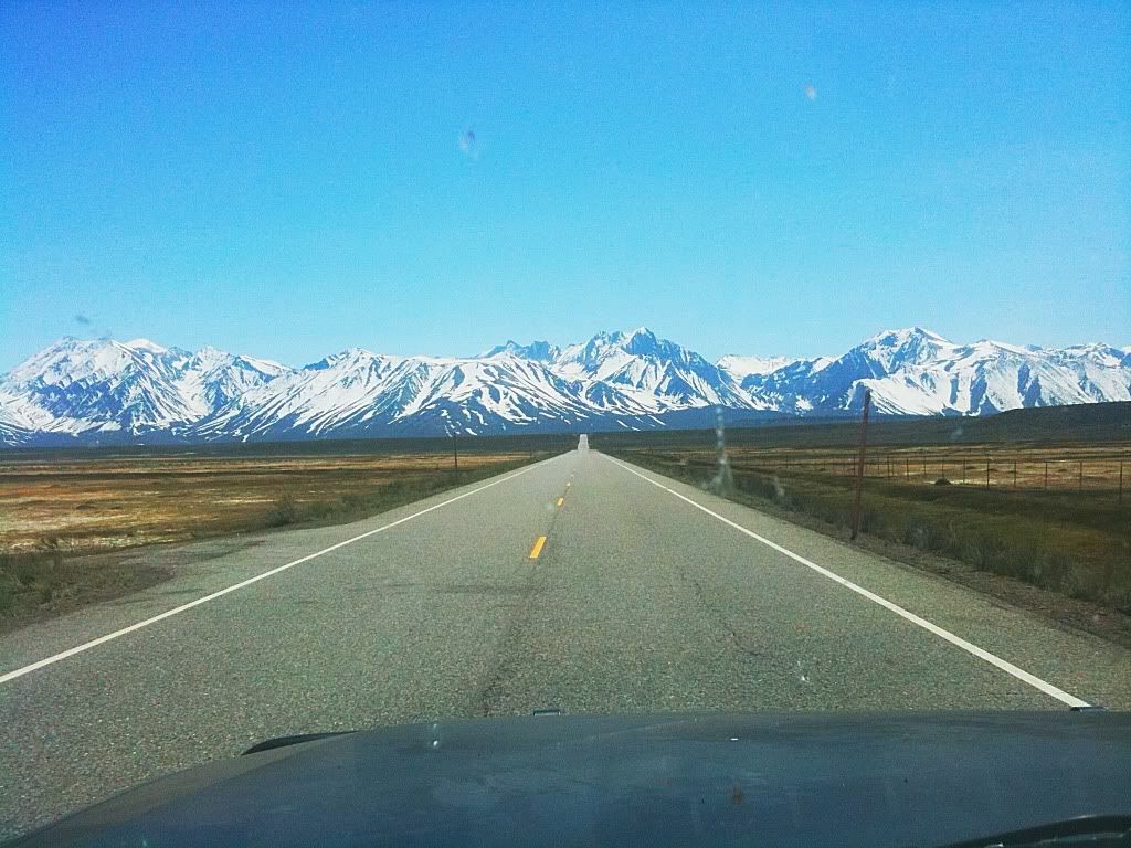
We rolled into Moab around 7pm and grabbed some food. I really had no plan other than to work my way west. Alyssa suggested coming up to SLC. This worked well as the office for my work is in Park City and I have friends in SLC that it would be great to see. So after eating, we climbed into our vehicles and headed north. The Disco will cruise 80mph pretty effortlessy with the 4.6 but with my setup it nets single digit mpg's at those speeds. I try to keep it under 65mph in an effort to get closer to 15. She has a nice little Outback XT that can burn up miles without breaking a sweat. In a display of true patience, she followed me at what must have been a painful 60-65mph all the way back to SLC that night. It was a long day in a car with such a huge mix of scenery, made it all worth it.
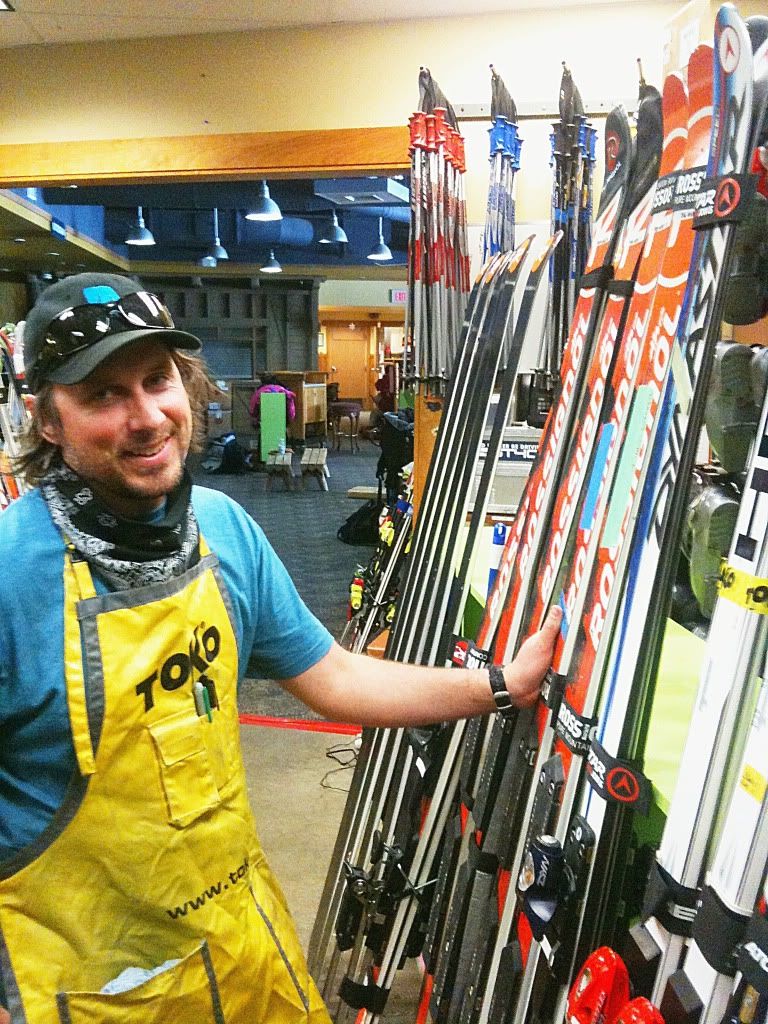
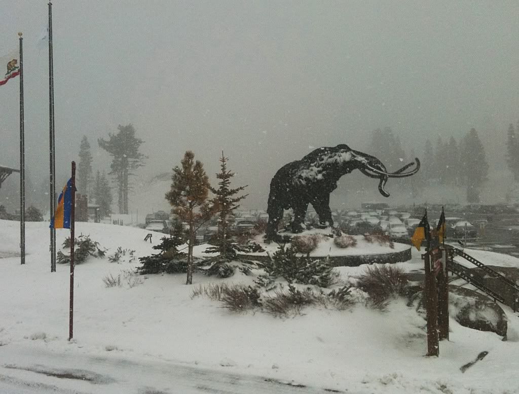
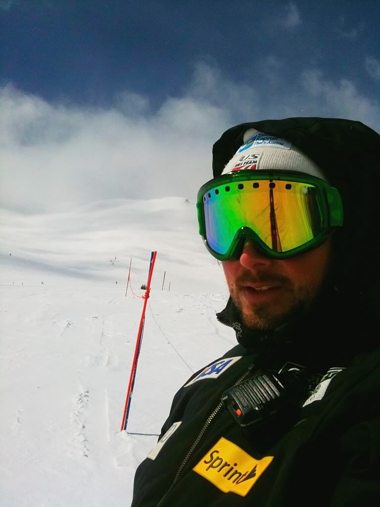
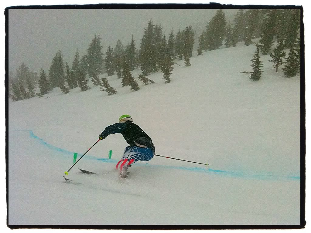
My next major thing I needed to do was be in Mammoth Mountain, CA again for our first training camp for the upcoming 2011 season. I had just over a week..... I ended up spending an entire week in SLC. It was nice just laying low, catching up with some friends, working on the truck a bit, and catching up with some work at our offices in Park City.
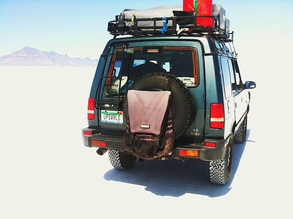
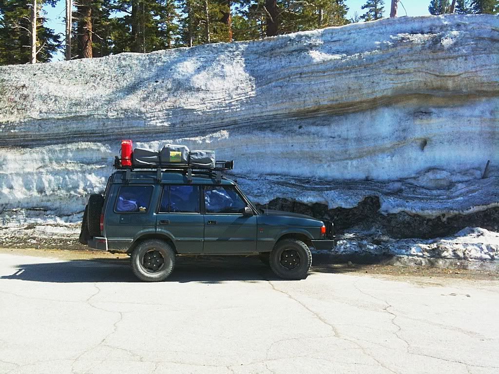
The Disco has been great. The bushing replacement did the trick and aside from the oil leak from the front main seal the truck was running like a top. I can't say enough good things about the Discovery I platform. It is comfortable, capable, and a great place to take in the passing country side from. I have never once felt concern for being stranded anywhere as you might seem to imagine when you hear folks ranting about how awful Land Rovers are. Yes they have their issues, but an early DI is a mechanically stout truck that begs to be used hard. I did an oil change, switched to a high mileage Valvoline blend with additives in an effort to curb the oil leak, shook out the air filter which was caked with find dust and silt from the trip so far. I also spent some time tightening up hardware on the roof basket which from time to time gets some rattles. I also discovered my power steering pump bracket had come loose. That was it. Good to go.
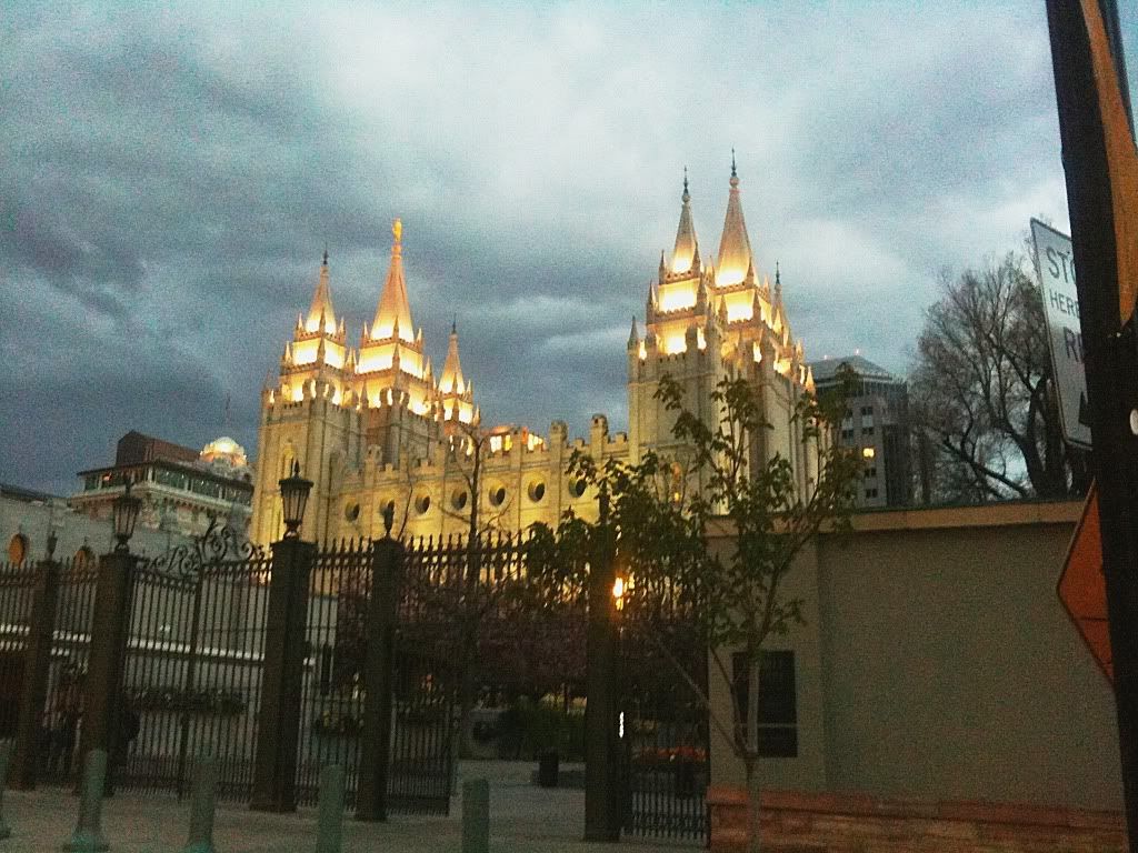
Taking in some sights of SLC, being a total tourist and loving every minute of it. Epic trips aren't just about getting out to some super remote place and camping, I find the contrasts of the natural landscapes followed by some local culture to be fun. Pictured here is the Temple.
The capital building is an impressive structure as well.
I caught up with one of my best buds Ethan. He is big bmx'er and lives with Matt Berringer who needs no introduction for those into the bmx/dirt jumping scene. Their house in Layton is insane. This is kind of a crappy 360 degree pano of the garage which is completely bowled and painted like a dart board.... The back yard is
a dirt jumping zone that is hard to describe, rather than try, here is a vid I found on youtube that shows it a bit with them riding in it...
Ethan and I grew up together and he was the guitar player in our band (I played drums). We bmx'ed and played music like crazy, all fun stuff. We haven't gotten to jam in awhile so, of course, in the basement of their place he had a drum set and his equipment, and we shredded for awhile. Felt great.
with one of his prized guitars...
He's an electronics wiz too, this is one of his amps he builds... 3 EL34 power tubes, 100 watts of loving
Last morning at Toroweep, making breakfast in the enclosure. It is nice for when the conditions aren't ideal and or you need an escape from the sun. We were stoked though that Walt's weather predictions were wrong. The previous day and night ended up being calm and beautiful. So glad we stayed. We got camp packed up fairly quickly. I love how much more efficiently setup and breakdown is with two people who know what they are doing versus doing it solo. SO nice. Again, the damn zipper is not making things easy on the cover. With alot of coaxing and the use of my leatherman we get it zipped to the back, but with some teeth not engaging. Kind of a pain in the butt.
We chatted with this family briefly. A husband and wife with two teenage daughters, loaded up with their camping gear into their Baja Bug and setup at Toroweep. LOVE IT! Brings back memories of my camping trips with my dad and brother in our Volkswagen Thing. Note to self, I really, really want to get an old late '60's Beetle someday...
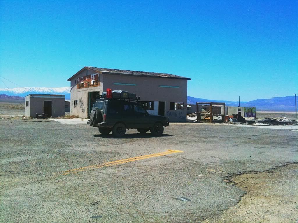
Getting back on the dirt road back out we immediately got behind a procession of three slow moving vehicles. They were some hikers from New Mexico that had camped near us. Not that I travel at prerunner speeds or anything but their 20mph speeds and huge cloud of dust was getting old fast. I was surprised that they didn't yield and pull over and it took me the action of pulling up and around to pass to get them to realize that maybe they should pull off and let me by. This was after 10 painful miles of sucking dust. Once past we didn't see another vehicle the rest of the way back to pavement. We stopped in Kanab to grab some grub from a cafe and then had a great time driving pavement up highway 89 to highway 12 driving through the area near Bryce Canyon, Escalante, Capitol Reef, and through the town of Boulder. I was curious to see Boulder as Sinuhe has mentioned it being such a great area. What a great mix of scenery. I really wished I was driving a Porsche though and not an overladen, top heavy Disco on skinny tires. That is some serious world class sports car (or sports bike) road there. Regardless it was still fun in the Discovery. I can see the appeal of Boulder, with the red rock to the south, the forests and mountainous terrain to the north and the expanse of land I really need to explore to the east towards the Henry Mountains. Looks super cool.
Self portrait at a pull off north of Boulder looking east towards the Henry Mountains.
We rolled into Moab around 7pm and grabbed some food. I really had no plan other than to work my way west. Alyssa suggested coming up to SLC. This worked well as the office for my work is in Park City and I have friends in SLC that it would be great to see. So after eating, we climbed into our vehicles and headed north. The Disco will cruise 80mph pretty effortlessy with the 4.6 but with my setup it nets single digit mpg's at those speeds. I try to keep it under 65mph in an effort to get closer to 15. She has a nice little Outback XT that can burn up miles without breaking a sweat. In a display of true patience, she followed me at what must have been a painful 60-65mph all the way back to SLC that night. It was a long day in a car with such a huge mix of scenery, made it all worth it.
My next major thing I needed to do was be in Mammoth Mountain, CA again for our first training camp for the upcoming 2011 season. I had just over a week..... I ended up spending an entire week in SLC. It was nice just laying low, catching up with some friends, working on the truck a bit, and catching up with some work at our offices in Park City.
The Disco has been great. The bushing replacement did the trick and aside from the oil leak from the front main seal the truck was running like a top. I can't say enough good things about the Discovery I platform. It is comfortable, capable, and a great place to take in the passing country side from. I have never once felt concern for being stranded anywhere as you might seem to imagine when you hear folks ranting about how awful Land Rovers are. Yes they have their issues, but an early DI is a mechanically stout truck that begs to be used hard. I did an oil change, switched to a high mileage Valvoline blend with additives in an effort to curb the oil leak, shook out the air filter which was caked with find dust and silt from the trip so far. I also spent some time tightening up hardware on the roof basket which from time to time gets some rattles. I also discovered my power steering pump bracket had come loose. That was it. Good to go.
Taking in some sights of SLC, being a total tourist and loving every minute of it. Epic trips aren't just about getting out to some super remote place and camping, I find the contrasts of the natural landscapes followed by some local culture to be fun. Pictured here is the Temple.
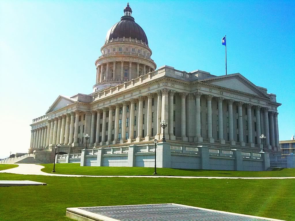
The capital building is an impressive structure as well.
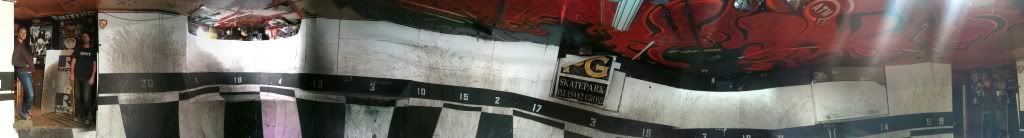
I caught up with one of my best buds Ethan. He is big bmx'er and lives with Matt Berringer who needs no introduction for those into the bmx/dirt jumping scene. Their house in Layton is insane. This is kind of a crappy 360 degree pano of the garage which is completely bowled and painted like a dart board.... The back yard is
a dirt jumping zone that is hard to describe, rather than try, here is a vid I found on youtube that shows it a bit with them riding in it...
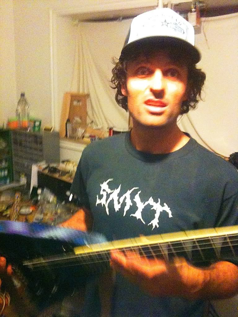
Ethan and I grew up together and he was the guitar player in our band (I played drums). We bmx'ed and played music like crazy, all fun stuff. We haven't gotten to jam in awhile so, of course, in the basement of their place he had a drum set and his equipment, and we shredded for awhile. Felt great.
with one of his prized guitars...
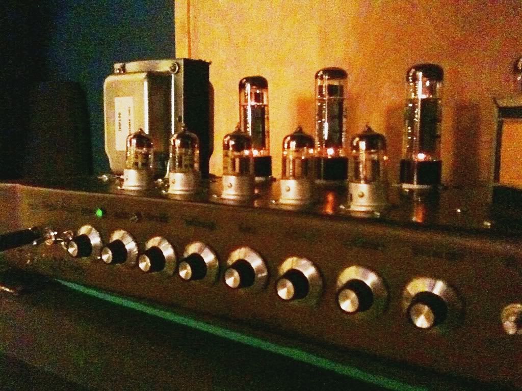
He's an electronics wiz too, this is one of his amps he builds... 3 EL34 power tubes, 100 watts of loving
Last edited:
") Still figuring it out.
Still figuring it out.