Seattle to Death Valley

Photog

Explorer
Thanks for the encouragement everyone.
I tried getting this done last night; but I fell asleep at the keyboard. More energy tonight; so, I will put in as much as I can.

Monday morning, November 10, 5:00am.
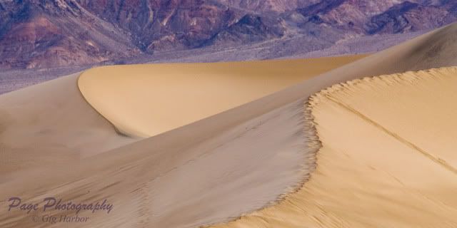
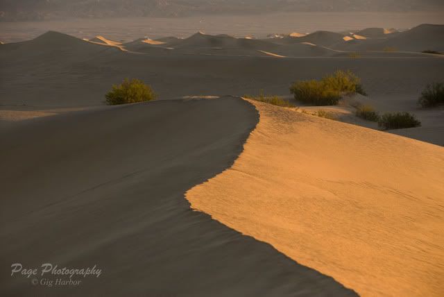
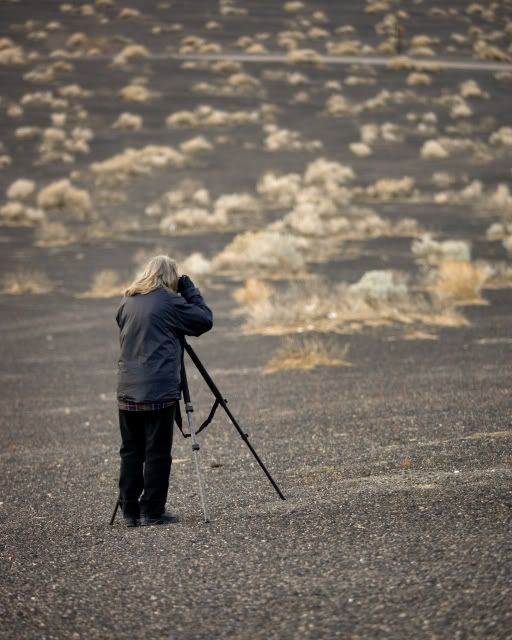
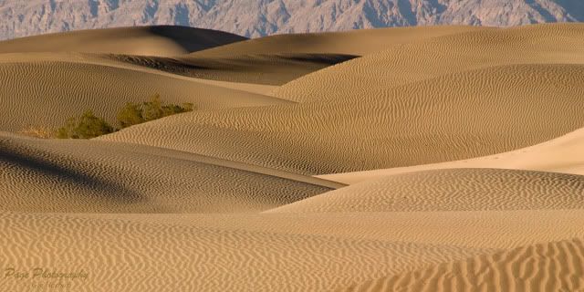
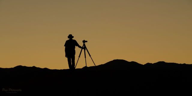
Gather in the parking lot for a short drive to the Mesquite Dunes, where we will put on the headlamps, jackets, camera bags and tripods. Hike out to a good size dune, in the dark, and wait for enough light to start working with the wonderful shapes found in the dunes, and fun with shadows.
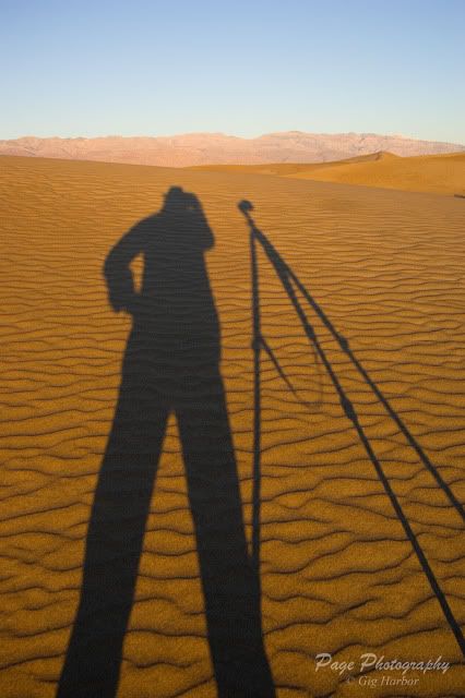
IV8E2911a.jpg


IV8E2890a.jpg


LMP_4089a.jpg


The sand is very taxing to walk through. Add 30lbs of gear, and it becomes a serious workout. Back at the truck by 8:30am, and go get breakfast. Mid day is spent in the auditorium, reviewing a few photographs from each person. There were some very nice images produced today.

Monday afternoon, 4:00pm
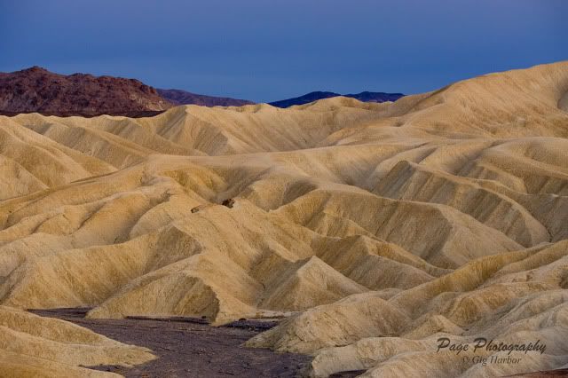
We gather and head out to Golden Canyon, below Zebriski Point, for evening light photography. Heavy clouds made for very flat, dull lighting. The very last minutes, before the sun blinked out for the night, we were given the slightest little bit of directional light. Work fast, you have 2 minutes (or less).
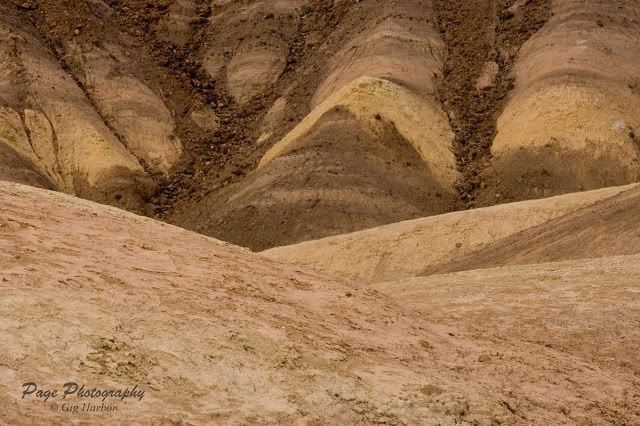
IV8E2955a.jpg


IV8E2977a.jpg
 
Last edited:

Photog

Explorer
Tuesday morning, November 11, 4:20am.
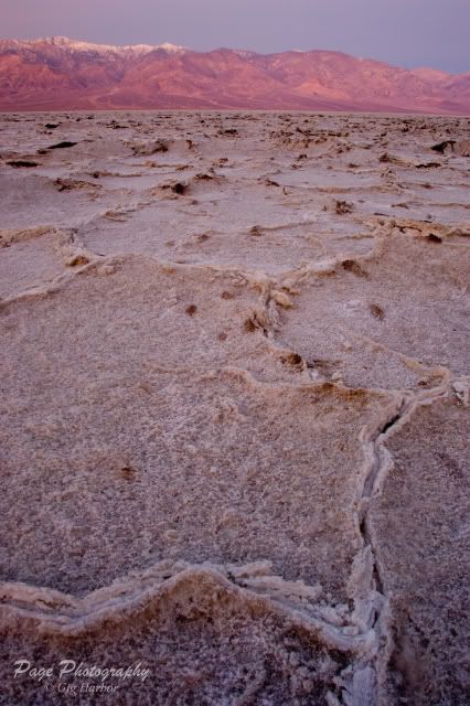
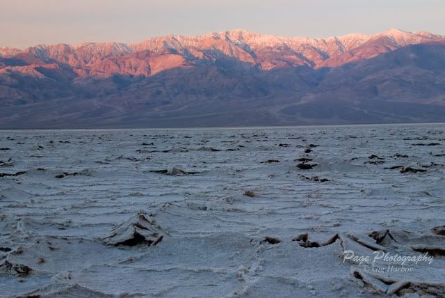
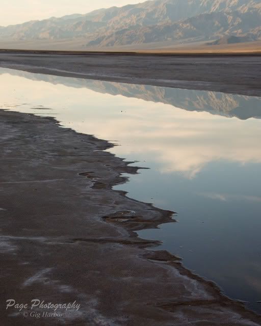
We gathered again, some folks riding with others, out to Badwater, for sunrise light on Telescope Peak, still draped in snow. The salt formations here make these huge mosaic patterns, with some areas of the salt heaving up, like a slow ice-flow.
IV8E2984a.jpg


LMP_4176a.jpg


All done by 7:30am, and we head back to “town”. Many of the group stopped at places like Devil’s Golf Course, or Artist’s Drive. Cindy & I stopped at Furnace Creek Ranch, and met up with my aunt & uncle for breakfast. They work for the USNP (park service) and the Xantera Resort. We discuss how tight our schedule is, and decide to meet again on Saturday, after the workshop ends. Good breakfast at the 49ers Café; Cindy & I both had the biscuits & gravy with scrambled eggs. Yum. No more eating until dinner.

Back to the room to select photos for review later in the auditorium.

Tuesday afternoon, 2:30pm
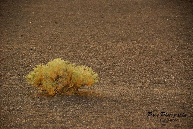
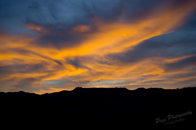
Gather up, and drive out to Ubehebe Crater, for evening photographs. I’ve never cared for pictures of this crater. Maybe I just need more time to get to know the crater better. I worked with the light colored plants and the gorgeous sunset that fired up at the end of the day. Cindy worked on some contrasting images and sunset.

IV8E3023.jpg


IV8E3027.jpg


LMP_4208a.jpg


IV8E3033a.jpg


LMP_4241a.jpg


The end of the paved road to Ubehebe Crater is where the dirt road to The Racetrack begins. That will be tomorrow afternoon/evening location. As the blazing sunset is starting to settle down for the night, we hear this horrible noise coming from the road to The Racetrack. Here comes a Chevy Tahoe, with no rear tire on the passenger side. The metal grinding on the pavement was making a horrible noise. I didn't get any pictures of this. There were 4 people in the vehicle, and it was 10 minutes before total darkness.

Between our 6 vehicles, we had space for all four of these stranded travelers. The owner and his wife rode back to Stovepipe Wells with us. Very nice couple, 6 month pregnant. They had gotten a flat, just as they reached the west end of the Racetrack. They installed the spare, checked out the moving rocks, and headed out. The 2nd flat came at Teakettle Junction. The hole was small enough for a tire plug; but they didn’t have any recovery gear with them. Only 20 miles to go, before Ubehebe Crater. That aluminum wheel was trash, and no tire in site. Hopefully the wheel is the only thing damaged.
 
Last edited:
Photog

Explorer
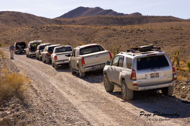
Wednesday morning, November 12 – We get to sleep in today. We don't leave today until 10:30. Today, we drive out to the Racetrack. Many of the people in our group have some trepidation about driving out to the Racetrack, after seeing the shredded tires on the vehicle, the night before. I suggested we take extra vehicles, instead of maximizing the car-pooling. This way, if one vehicle were to become completely disabled, there would be enough room in other vehicles to prevent stranding anyone.

Since our 4Runner was the only vehicle with any recovery gear, I took up the position as the tail-gunner. Nobody in the group had a CB or HAM, so I provided the leader with a FRS radio. Nobody had any trouble, and we all created some great images around The Racetrack.

This was our first stop, after starting in on the road to The Racetrack.
IV8E3048.jpg


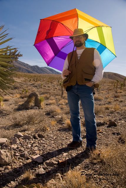
Cindy likes to use this umbrella to create fun colored backgrounds. I was using it to creat some soft shade, for a small Joshua tree, that Cindy was working on.
LMP_4248a.jpg


Things don't always work out the way you had planned.
LMP_4251a.jpg


Sometimes they do.
IV8E3054.jpg


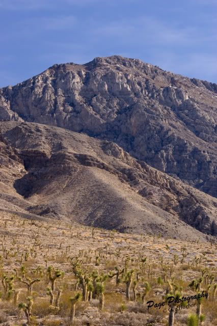
After a 30 minute stop in the Joshua Trees, we continued to Teakettle Junction, for a group photo.

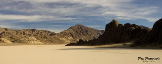
After this, we stopped at the Grandstand for an hour. Harsh light was the rule; but we were expecting softer, evening light, later on.
IV8E3057.jpg


IV8E3063.jpg


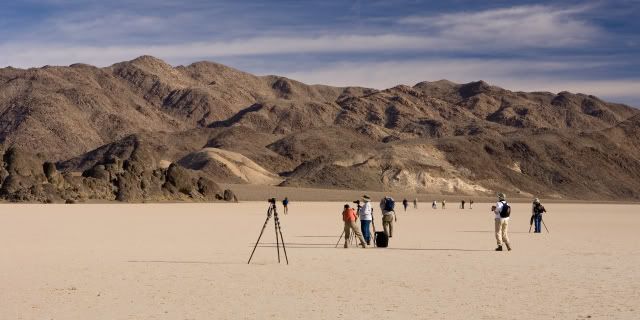
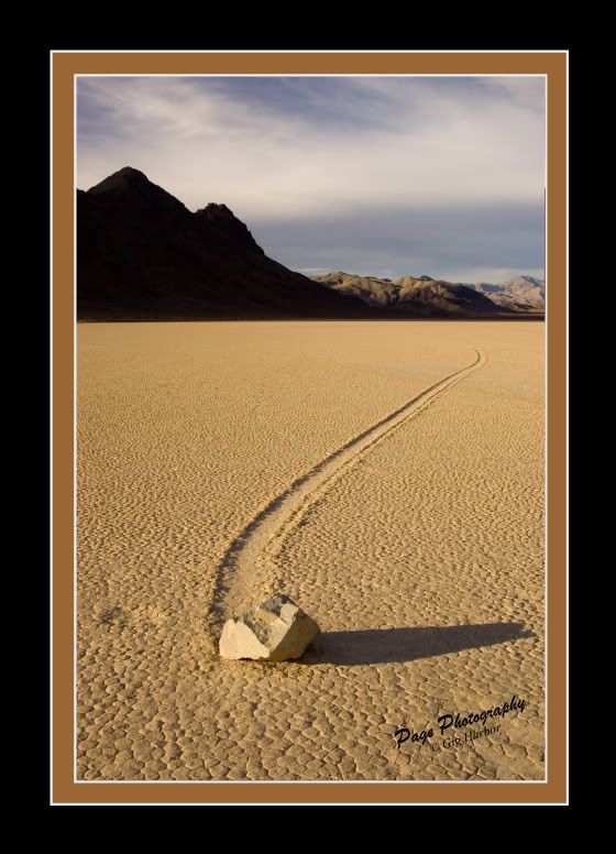
Then, on to the moving rocks of The Racetrack.
IV8E3069.jpg
 
Last edited:
Photog

Explorer
I have gone back and added a few new images to the posts. I also added the company copyright, to slow down the data miners.

Anyway- here is the beginning of the next day.

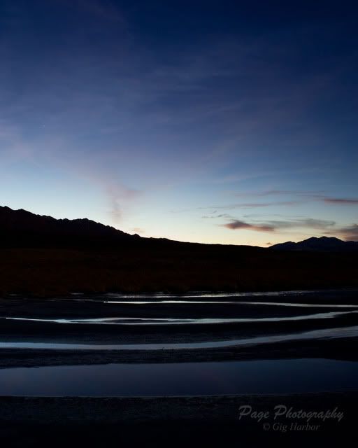
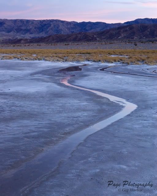
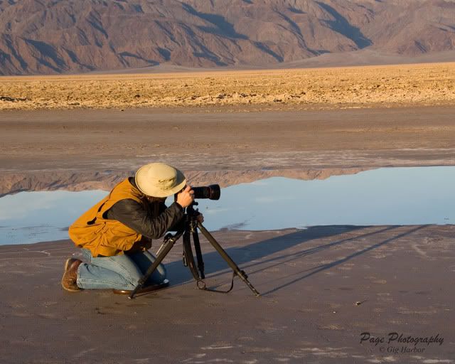
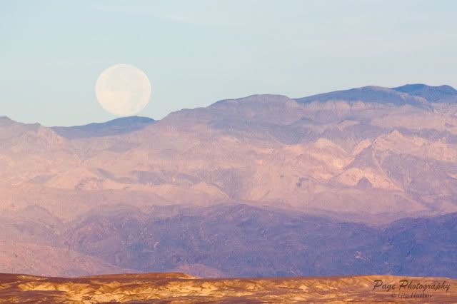
Thursday, November 13, 2008 – We are up 2 hours before sunrise. We caravan to mile marker 105, near Cow Creek, to walk out onto the salt-flats. We are all wondering what there is here that would make great photographs. Headlamps installed, or flashlights in hand; we walk down through the rocks in the dark. If I stayed a short distance from the group, I could get along with just the light of the full moon.

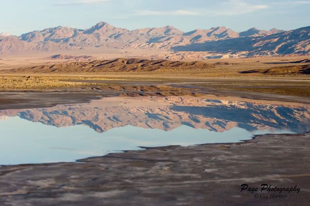
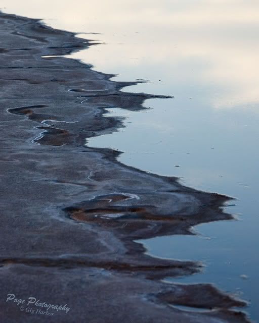
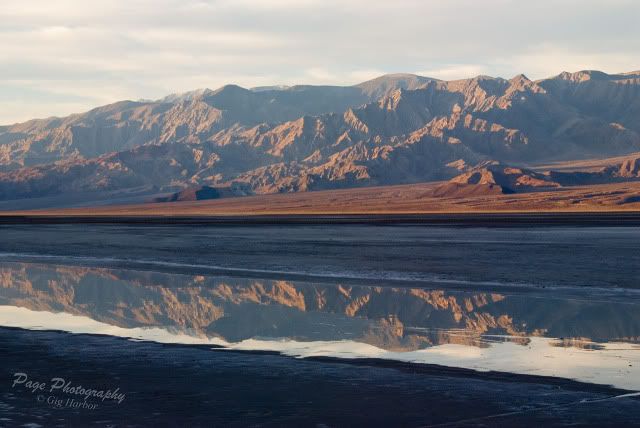
There is a set of saltwater springs that flow out onto the mud flats in this area. The rivulets can be many feet wide; but they are only a quarter-inch deep. Being so shallow, there are no ripples created by the breeze in this magical place. The water is mirror smooth, and great for reflections of the mountains during the sunrise.

IV8E3076a.jpg


IV8E3082a.jpg


IV8E3121a.jpg


LMP_4346a.jpg


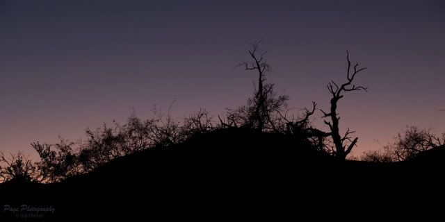
Thursday evening, we travel out to the dunes again. This time we head to the east end, and try to work in an area with fewer people and fewer tracks in the sand. We have limited success with this approach; but we were able to focus on a few areas of un-tracked dunes.

LMP_4380a.jpg


LMP_4413a.jpg


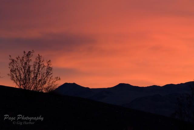
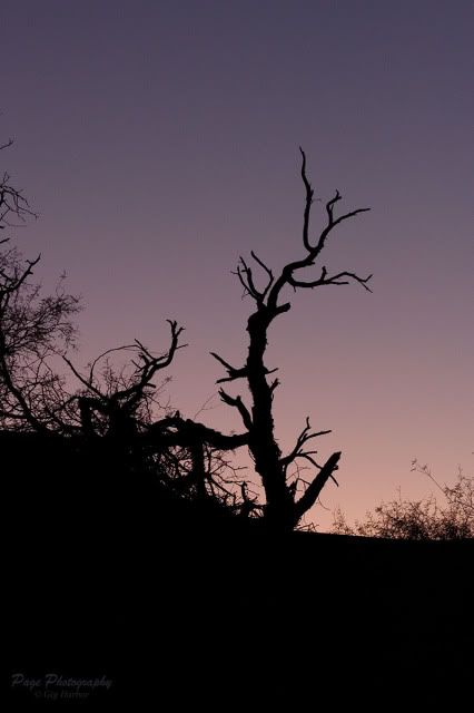
We slowly worked our way back to the vehicles, after the sunset light began to fade. We were almost back to the road, when we saw this tree silhouette.

LMP_4427a.jpg


IV8E3173a.jpg
 
Last edited:
rusty_tlc

Explorer
Great stuff. We get down to DV any chance we get. Living in Reno makes it a bit easier for us.

We also spend a lot of time in the Tonapah area. You may want to plan a trip there someday, the photography potential is enormous.


And a big thanks for the link to Rocky Mountain School of Photography. I think I know what my wife is getting for her anniversary present this year.
 

Photog

Explorer
We are back in the Puget Sound area now. I still have a few days of the trip to write up, and post. More to come.:ylsmoke:
 

Photog

Explorer
Just a few more of Cindy’s images from Thursday morning, near Cow Creek.

LMP_4345a.jpg


LMP_4344a.jpg


LMP_4332a.jpg


LMP_4331a.jpg
 
Last edited:
Photog

Explorer
Thanks for the props.:)

Here is the beginning of the next day.

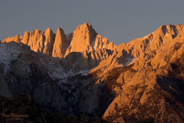
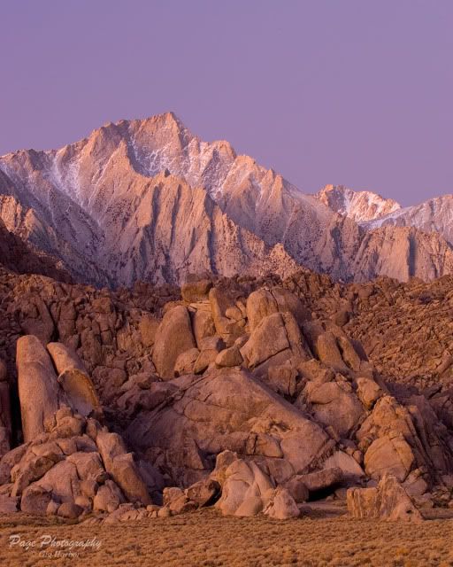
Friday November 14, 2008 – Today is a very early day. We are leaving Stovepipe Wells at 3:30am. We plan to be in the Alabama Hills, outside of Lone Pine, before sunrise. It is almost two hours of driving, up and over two mountain ranges. When we get there, we can almost make out Mt. Whitney. The wind is howling, and we are all looking for sheltered areas to shoot from. With 30 second exposures, we are getting short star streaks.

This is Lone Pine Peak, in the soft, pre-dawn light.
EPV0074.jpg


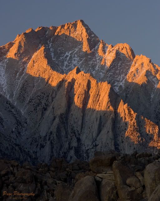
The sun starts to peak over the horizon, and sprinkles the peak tops with rays of sunshine.
Lone Pine Peak
EPV0069.jpg


Mt. Whitney. There is a sustained 5.5 climb, up the arête on the right edge of the big wall.
EPV0070.jpg


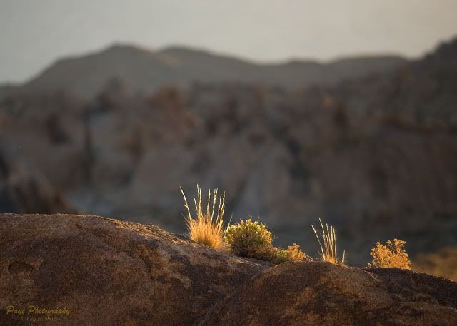
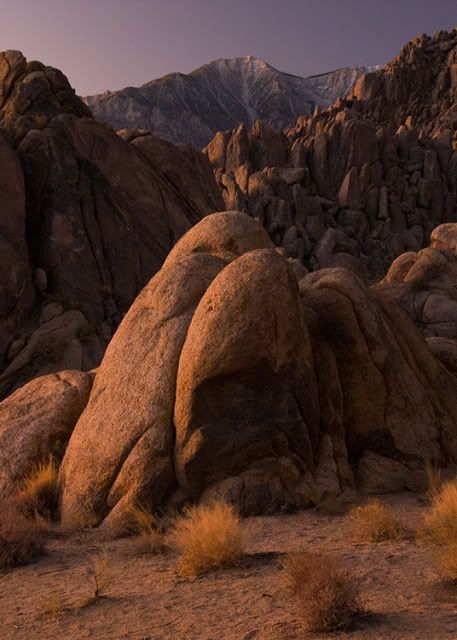
It would be easy to work all morning on just the mountains; but we wanted to make the most of this interesting area. I started working on some of the smaller details, and Cindy was working on some of the interesting rock shapes.

EPV0076.jpg


LMP_4471.jpg


EPV0075.jpg


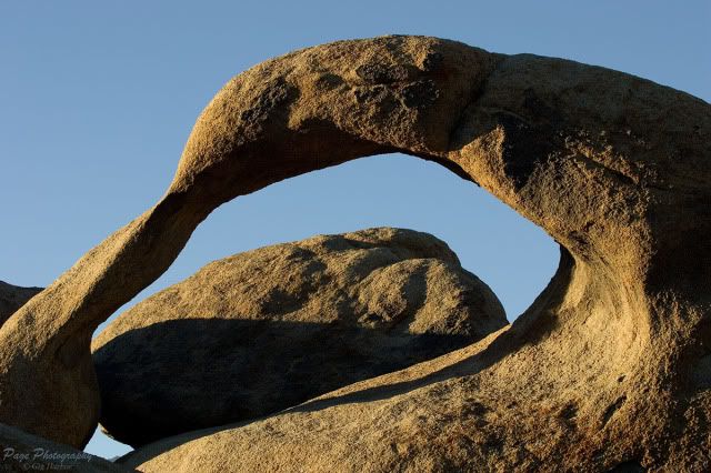
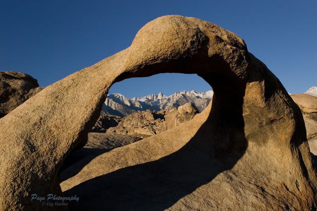
Before we left for breakfast, down in Lone Pine, we hiked over to the Arch.
EPV0077.jpg


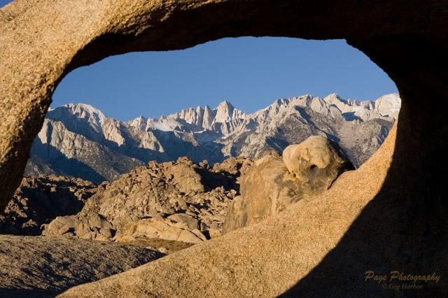
From the right spot, you can view Mt. Whitney through the opening in the rock. This is the classic postcard shot.
EPV0078.jpg


This is a better view of Mt. Whitney.
EPV0079.jpg


Then we were off to breakfast, then to Darwin and ending up at Aguereberry Point, overlooking Death Valley.
 
Last edited:
Photog

Explorer
Post number #25 was mostly a copy of a previous post.:eek:

So; I went back and updated #25 with some more of Cindy's images.
 

Photog

Explorer
After a wonderful breakfast in Lone Pine, we all wandered around the business district for a couple of hours, taking pictures and buying bits of this and that.

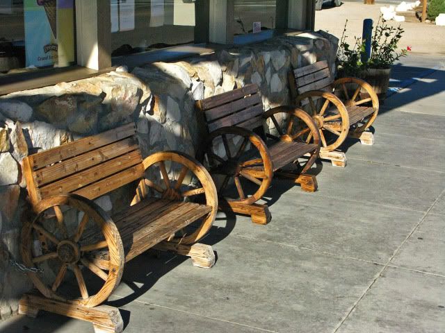
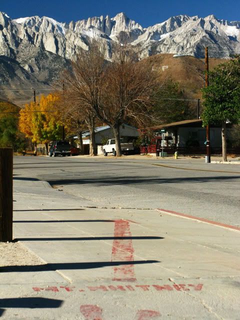
There were these great wagon-wheel benches outside the restaurant and an arrow painted on the sidewalk, pointing to Mt. Whitney.
IMG_0442a.jpg


IMG_0445a.jpg


Then we left Lone Pine, and headed for Darwin. When we arrived in Darwin, we were not sure where to start looking. Everything is so different in this town. The folks here decorate with what ever is available.

IV8E3240a.jpg


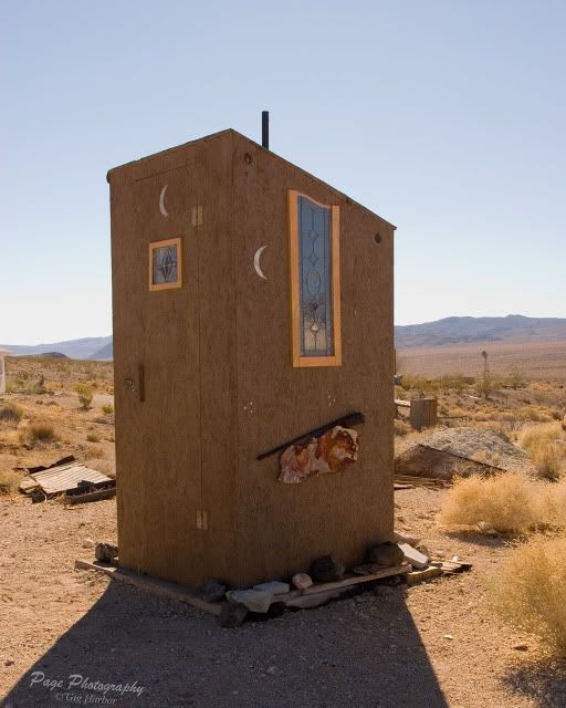
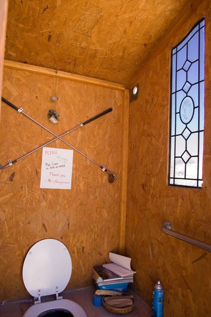
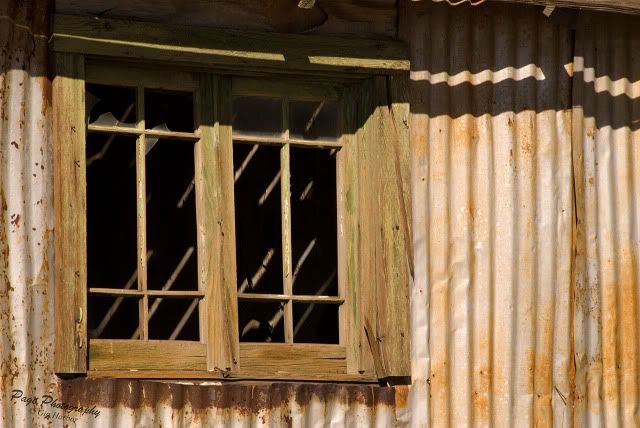
We parked near this interesting outhouse, with stained-glass windows, corn cobs, and a few decorations,

LMP_4583a.jpg


IV8E3222a.jpg


There is this cool little spherical building, which is used as a music room. Musicians gather in here and have a great time, and the acoustics are very interesting.

IV8E3230a.jpg


Inside, there are different instruments, acoustic sound traps, bed, dust, etc…

LMP_4617a.jpg
 

Photog

Explorer
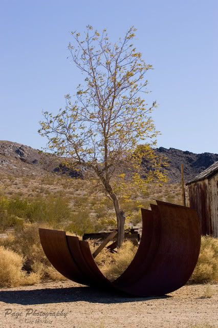
Around town, there are all kinds of mining materials that take on their own life, and ad shape and form to typical subjects.

IV8E3235a.jpg


The town is mostly older buildings, which are boarded up, or on the edge of not being functional.

IV8E3242a.jpg


LMP_4575a.jpg


There is always something to work with.

LMP_4577a.jpg


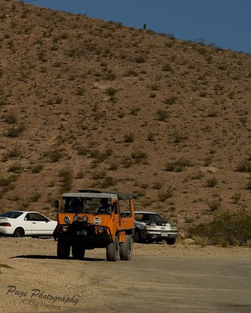
And then, we hear a few vehicles coming in from the back of the town. I turn and see this nifty Pinzgauer trail toy.

IV8E3231a.jpg


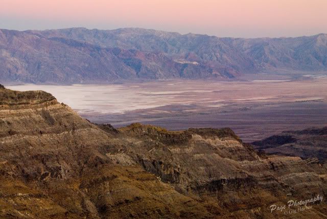
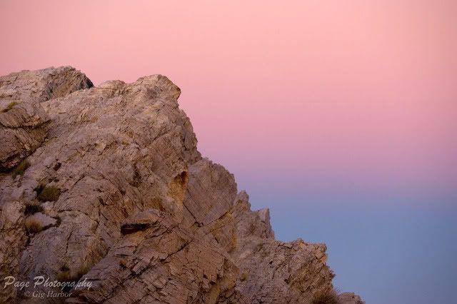
Then it is time to leave, and head back to Death Valley. Our destination is Aguereberry Point. We are hoping for some nice evening light, to end this long day. The weather did not cooperate. The Santa Anna winds that were fanning the flames near the coast, were also blowing all the clouds from the sky. This means there will be no bright colors in the sky, to light up the landscape, and a very plain sky. Most of our folks became discouraged with the light, and ended up taking in the view, without the use of their cameras. They all left once the sun finally set. We stuck around, to see what the Earth-Shadow might do to the sky. This is what we were given to work with, after everyone else was gone.

This is the view, looking down at Badwater.

LMP_4695a.jpg


IV8E3274a.jpg


After this we caught up to the group, back at Stovepipe Wells. This is the end of our longest day. Saturday Morning will be the end of the workshop, and the midway point of this trip.
 
Last edited:
Forum statistics

Threads
188,181
Messages
2,903,487
Members
229,665
Latest member
SANelson
Top