You are using an out of date browser. It may not display this or other websites correctly.
You should upgrade or use an alternative browser.
You should upgrade or use an alternative browser.
Traversing the US (and back)
- Thread starter jessejman
- Start date
Day 28: Star Valley, NV to Alvord Desert, Utah
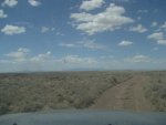
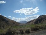
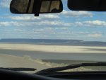
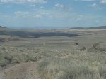
Alvord Desert around late in the day.
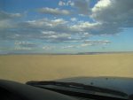
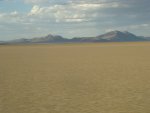
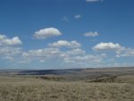
Alvord with the Eastern side of the now far-away Trout Creek mountains in the background.

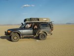
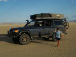


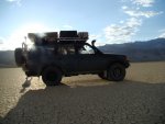

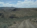
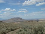
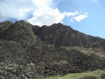
And here with the near Steen mountains. We'd try to find camping somewhere on the eastern side of the Steen even though the nice green areas on the west as is all the camping.
Alvord Desert around late in the day.


Alvord with the Eastern side of the now far-away Trout Creek mountains in the background.


And here with the near Steen mountains. We'd try to find camping somewhere on the eastern side of the Steen even though the nice green areas on the west as is all the camping.
Day 28: Star Valley, NV to Alvord Desert, Utah
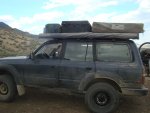
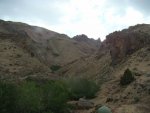
Where we boondock camped on Pike Creek. Camping was hard to find around here and we ended up at a pretty nice free spot. It was NF land but took a local to show us where to camp. The gas station in Fields is awesome - famous for their shakes which are a treat in the desert.
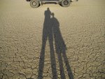
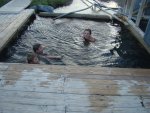
Father and son. Hot springs before bed.
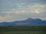
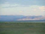
Looking over the desert at Sunset.
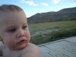


Where we boondock camped on Pike Creek. Camping was hard to find around here and we ended up at a pretty nice free spot. It was NF land but took a local to show us where to camp. The gas station in Fields is awesome - famous for their shakes which are a treat in the desert.


Father and son. Hot springs before bed.


Looking over the desert at Sunset.


End of Day 28, Alvord Desert
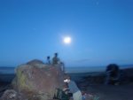
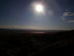
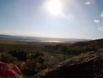
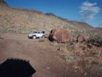
Moonlight over the desert.
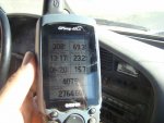
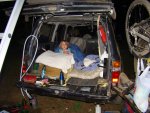
This was the second night we didn't sleep in the tent. We were camped at the mouth of a canyon that lead up to Steens ridgeline. During the night this canon acted as a funnel for air sweeping down off the Steens and out into the desert. It was howling. We'd experienced this other places in the desert at nightfall but it had tapered off after dark. It did not taper here and our roof top sail was pitching the car and working against the incredible gusts that constantly swept down the canyon. We kept waiting for it to taper off but it never did. We finally moved my wife and daughter into the back of the car into our 'alternate' sleeping arrangements that just aren't as comfortable. I didn't think the tent was going to break so I decided to stay up there and prove that it wasn't that bad. I tried to sleep but the hearing the wind move toward me down the canyon and then slam into the tent was very difficult. I even opened up all the window and doors so that the air could blow through less impeded by the fabric but the wind was blowing my sleeping bag off of me. I seriously had to reach out and grab it to keep if from being blown away. I finally closed it up and took my sleeping bag into the lee of a large boulder and slept the rest of the night there.
Does anyone know what meteorological event causes this rushing of wind? Is it the heavy colder air from the mountains dropping down into the warmer lighter air in the desert?
Random images from the day:
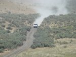
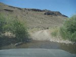

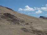
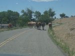
Horses greet us on the way into McDermitt.


Moonlight over the desert.

This was the second night we didn't sleep in the tent. We were camped at the mouth of a canyon that lead up to Steens ridgeline. During the night this canon acted as a funnel for air sweeping down off the Steens and out into the desert. It was howling. We'd experienced this other places in the desert at nightfall but it had tapered off after dark. It did not taper here and our roof top sail was pitching the car and working against the incredible gusts that constantly swept down the canyon. We kept waiting for it to taper off but it never did. We finally moved my wife and daughter into the back of the car into our 'alternate' sleeping arrangements that just aren't as comfortable. I didn't think the tent was going to break so I decided to stay up there and prove that it wasn't that bad. I tried to sleep but the hearing the wind move toward me down the canyon and then slam into the tent was very difficult. I even opened up all the window and doors so that the air could blow through less impeded by the fabric but the wind was blowing my sleeping bag off of me. I seriously had to reach out and grab it to keep if from being blown away. I finally closed it up and took my sleeping bag into the lee of a large boulder and slept the rest of the night there.
Does anyone know what meteorological event causes this rushing of wind? Is it the heavy colder air from the mountains dropping down into the warmer lighter air in the desert?
Random images from the day:


Horses greet us on the way into McDermitt.
Last edited:
All wind is caused by heat. As the warm air rises the cooler air rushes in to fill the void. The only difference is what is causing the heat exchange. The sun is the culpret. The sunshine, lack there of, geography, and larger weather patterns work together. I live at the mouth of a canyon and Cody (nearest big city  ) is also at the mouth of a canyon; the geography acts as a funnel some times.
Day 29: Fields to Bend, OR
We had planned to cross southeastern oregon through the Hart Antelope Refuge, Christmas Valley and then north passing Pauline Lake on China Hat Rd. We ended up staying on the east side of the Steens and driving four hours of highway to Bend. We were pushed for time and I was really frustrated at having to deviate from our route in the morning rather than pushing until afternoon and then rerouting. I tried to be a team-player, to compromise and to understand. But I just couldn't and I had a pretty bad, pissed off day and I'm pretty sure I let everyone know it. My parents were afraid we wouldn't make Bend (we probably wouldn't have on my route) and that even taking highways we might not make dinner. We were there by 12:30.
Now, in hindsight, it's not that big of deal. But I was really looking forward to that section and once we got started on highway all I could think of was what we were missing to our left as we sped by at 70mph. Even today I'm disappointed that we lost out on 300 miles of gravel but I think it's also quite selfish of me. I think I wanted to do the whole route and to do it offroad.
Pavement felt like failure.
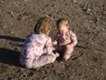

'Clean' is a completely relative term.
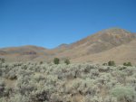
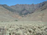
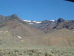
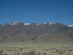
The Steen Range. Apparently the other side is incredibly beautiful and green. Another trip.
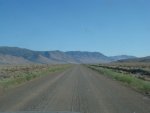
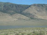
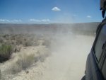
I childishly took my anger out by throwing clouds of dust at great speeds on this last gravel road for the day.
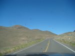
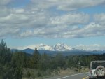
Even the sight of the 3 Sisters didn't appease me nor did driving into traffic in Bend. We hadn't driven in traffic in nearly a month. I didn't know why all of a sudden I was so tense and irritable. Actually, all of us in the Cruiser were on edge. But we were excited to see my brother, his wife and their new baby. And I'd heard something about the mountain-biking trails in Bend!
We had planned to cross southeastern oregon through the Hart Antelope Refuge, Christmas Valley and then north passing Pauline Lake on China Hat Rd. We ended up staying on the east side of the Steens and driving four hours of highway to Bend. We were pushed for time and I was really frustrated at having to deviate from our route in the morning rather than pushing until afternoon and then rerouting. I tried to be a team-player, to compromise and to understand. But I just couldn't and I had a pretty bad, pissed off day and I'm pretty sure I let everyone know it. My parents were afraid we wouldn't make Bend (we probably wouldn't have on my route) and that even taking highways we might not make dinner. We were there by 12:30.
Now, in hindsight, it's not that big of deal. But I was really looking forward to that section and once we got started on highway all I could think of was what we were missing to our left as we sped by at 70mph. Even today I'm disappointed that we lost out on 300 miles of gravel but I think it's also quite selfish of me. I think I wanted to do the whole route and to do it offroad.
Pavement felt like failure.


'Clean' is a completely relative term.


The Steen Range. Apparently the other side is incredibly beautiful and green. Another trip.


I childishly took my anger out by throwing clouds of dust at great speeds on this last gravel road for the day.


Even the sight of the 3 Sisters didn't appease me nor did driving into traffic in Bend. We hadn't driven in traffic in nearly a month. I didn't know why all of a sudden I was so tense and irritable. Actually, all of us in the Cruiser were on edge. But we were excited to see my brother, his wife and their new baby. And I'd heard something about the mountain-biking trails in Bend!
Days 29 - 42: Bend
Our westward journey was over and we did not get the glorious gravel and dust filled entrance I thought waited us on China Hat Rd.
For two weeks we would live like 'normal' people and do 'regular' things. We shopped at Trader Joes. We walked through downtown Bend.
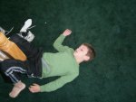
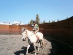
We slept inside (in the same room) and rode horses.
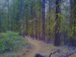
I rode miles of incredible trails.


We went to the crowded July 4th parade in Redmond where the kids rode on floats, my brother horseback.
We worked on the car in a garage in the shade.


We climbed peaks. We fished and swam in cold cold rivers. We even swam in canals (don't tell anyone) because it was so hot. We read books. We celebrated birthdays.

My wife and I celebrated our ninth anniversary. We shopped at outlets.
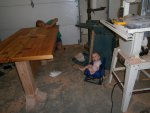
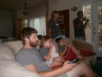
We built furniture and watched Arrested Development. We drank (lots) of great beer. We cooked in ovens.
We grew bored. We began to look forward to the road, to the peace of solitude, to the simplicity of gravel under the wheels.
And then we started our return journey. We tried our best to get my brother and his wife to pack up his T-100 and come along for a few days. But he had to work.
Our westward journey was over and we did not get the glorious gravel and dust filled entrance I thought waited us on China Hat Rd.
For two weeks we would live like 'normal' people and do 'regular' things. We shopped at Trader Joes. We walked through downtown Bend.


We slept inside (in the same room) and rode horses.

I rode miles of incredible trails.


We went to the crowded July 4th parade in Redmond where the kids rode on floats, my brother horseback.
We worked on the car in a garage in the shade.


We climbed peaks. We fished and swam in cold cold rivers. We even swam in canals (don't tell anyone) because it was so hot. We read books. We celebrated birthdays.

My wife and I celebrated our ninth anniversary. We shopped at outlets.


We built furniture and watched Arrested Development. We drank (lots) of great beer. We cooked in ovens.
We grew bored. We began to look forward to the road, to the peace of solitude, to the simplicity of gravel under the wheels.
And then we started our return journey. We tried our best to get my brother and his wife to pack up his T-100 and come along for a few days. But he had to work.
Last edited:
By ANY measure, you did it..........
jesse,
Allow me to be among the first to log in and say--don't let that last segment get under your skin. You pulled off one heckuva gravel, dirt, and rock diagonal traverse of near-bouts the whole freakin' continent. As my Navy son says "Bravo Zulu, sailor" (USN-speak for "well done").
Hope there is something to share on the return trip.
Foy
So awesome! I just spent the better part of my afternoon reading this whole thing. My brother did parts of this ride on his KTM last summer and we have plans to finish it off sometime. Thanks for an awesome report; one of the best I have ever read. Only thing I wish this had was some vids/pics of the gnarly sections, but my girlfriend seems similar to your wife in that she would never record our certain death. I'm glad 'you made it out alive'.
/sub'd
/sub'd
Day 43: Bend into the Ochoco Nationa Forest
Map image: Click here for downloadable and zoomable track


We started our return trip afternoon with no particular goal in mind for the day. We were just going to follow the pink line on the GPS until it was time to camp. It was hard to leave but good to be back on the road. We started the return journey with new oil and filter in the cruiser and new brake calipers and fluid on the front. I had put the truck up to check preload on the wheel bearings and I found that the left caliper was dragging. A little more investigation showed that only one piston was functioning, the other three were seized. I tried to loosen them up and work them free but in the end I chose to buy new calipers.
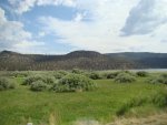
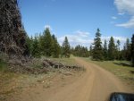
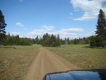
We started off with some pavement through Redmond and Pineville but it wasn't long before we were back on gravel and then on steep dirt trails through tall lodgepole pines. We we're digging it.

Map image: Click here for downloadable and zoomable track


We started our return trip afternoon with no particular goal in mind for the day. We were just going to follow the pink line on the GPS until it was time to camp. It was hard to leave but good to be back on the road. We started the return journey with new oil and filter in the cruiser and new brake calipers and fluid on the front. I had put the truck up to check preload on the wheel bearings and I found that the left caliper was dragging. A little more investigation showed that only one piston was functioning, the other three were seized. I tried to loosen them up and work them free but in the end I chose to buy new calipers.
We started off with some pavement through Redmond and Pineville but it wasn't long before we were back on gravel and then on steep dirt trails through tall lodgepole pines. We we're digging it.


Day 43: Bend into the Ochoco Nationa Forest
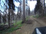
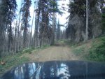
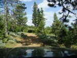
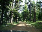
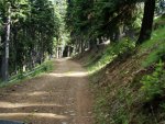
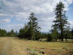
There were tons of trees down in the forest and myriad small trails that branched off of Summit Road. These paths made us jealous of Oregonians (especially those Oregonians with dual-sport motosickles). The normal faint worries of being on the road began to appear: are we good with gas?, will this faint trail go through?, is that noise normal?, when will we be blocked by one of these huge fallen trees?
We passed lots of new fallen pines but most were cut up and moved mostly off the trail. But we both felt like it was only a matter of time before we had to reroute due to a blocked path.
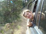


Day 43: Bend into the Ochoco National Forest
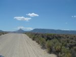
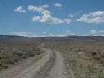
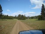
Driving through a burn area, the wildflowers were amazing. Lupine, I think, is the purple flower. There were a few tracks on the road from other trucks but not many and we didn't see anyone up on the ridge all day long. Summit Road is great and it is a as described. It traces a ridgeline for miles with views both north and south for much of the time.
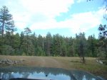
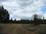

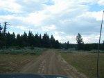
Luckily there was an easy way around this one.
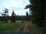
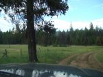
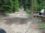
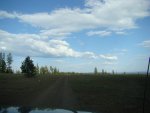
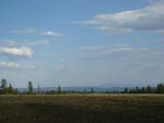
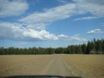
Driving through a burn area, the wildflowers were amazing. Lupine, I think, is the purple flower. There were a few tracks on the road from other trucks but not many and we didn't see anyone up on the ridge all day long. Summit Road is great and it is a as described. It traces a ridgeline for miles with views both north and south for much of the time.


Luckily there was an easy way around this one.


Last edited:
Similar threads
- Replies
- 3
- Views
- 743
- Replies
- 4
- Views
- 2K
- Replies
- 0
- Views
- 426

