Day 44: Ochoco - Malheur
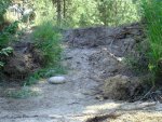
Had I been paying attention to the road I would have realized that there was an obvious go-around to the washed out culvert that we were now stuck on. Realizing this, the pondering was over and we made piled some loose stones up into a sort of bridge. There weren't enough stones to reverse all the way in one go. We were still worried about the more dirt crumbling in and leaving us really stranded but we decided reversing was the best option. We did it in two steps: first onto the culvert and then reposition the stones for the next reverse from the culvert back to roadbed. It worked well and only cost us time in construction of the bridge.
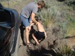

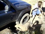
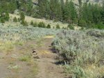
Not that we expected much traffic along this trail but we had to do something to warn our fellow adventurers so we removed some rocks from the culvert and built a warning cairn in the middle of the road.
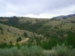
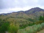
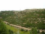
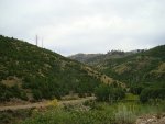
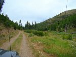
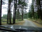
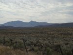
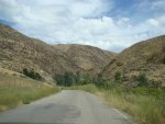
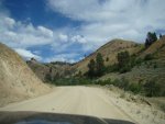
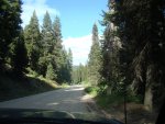
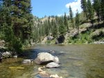
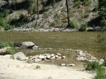
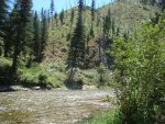
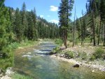
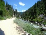
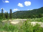
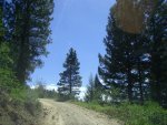
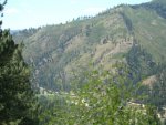
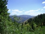
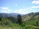
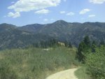
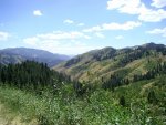
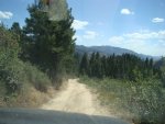
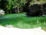
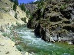
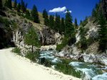
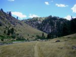
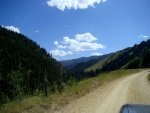
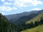
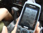
And we carried onward on a wave of new-found energy, not returning to the so-so campsites we had already passed but passing on to, uh-oh, private land. We were following a road marked on the gps but not found on the gazeteer or googlemaps. It was getting interesting (read scary). The sights were great and the road progressively worsened until it was clear that it was rarely if ever used. We still had to descend a large canyon to the Little Malheur River valley but we were nervous it wouldn't go. We passed multiple gates with no hunting signs and we kept going with the sinking feeling of knowing that we were probably not supposed to be on these roads. We made it down a steep rocky trail to the river and a road that was marked public on the gazeteer and we felt much relieved. But the next gate we came to, was freshly closed with bailing wire and wrapped so tightly that we couldn't have undone it without a tool. This was frustrating as we knew this was a public road. We found a way around by driving through a corral and out another gate. I'm not sure if this is what local people (if there are any) do or if we shouldn't have, but it kept us from having to mess with the bailing wire.
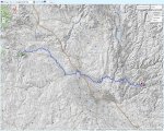
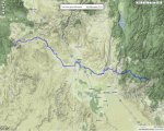
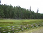
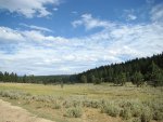
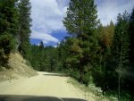
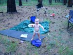
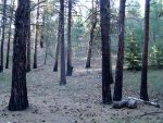
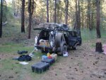
It wasn't long until we made our way back on to National Forest land and set up camp in a pine and aspen glade. Look at the map link on the previous page to a get an idea of the terrain we were driving.
Had I been paying attention to the road I would have realized that there was an obvious go-around to the washed out culvert that we were now stuck on. Realizing this, the pondering was over and we made piled some loose stones up into a sort of bridge. There weren't enough stones to reverse all the way in one go. We were still worried about the more dirt crumbling in and leaving us really stranded but we decided reversing was the best option. We did it in two steps: first onto the culvert and then reposition the stones for the next reverse from the culvert back to roadbed. It worked well and only cost us time in construction of the bridge.


Not that we expected much traffic along this trail but we had to do something to warn our fellow adventurers so we removed some rocks from the culvert and built a warning cairn in the middle of the road.
And we carried onward on a wave of new-found energy, not returning to the so-so campsites we had already passed but passing on to, uh-oh, private land. We were following a road marked on the gps but not found on the gazeteer or googlemaps. It was getting interesting (read scary). The sights were great and the road progressively worsened until it was clear that it was rarely if ever used. We still had to descend a large canyon to the Little Malheur River valley but we were nervous it wouldn't go. We passed multiple gates with no hunting signs and we kept going with the sinking feeling of knowing that we were probably not supposed to be on these roads. We made it down a steep rocky trail to the river and a road that was marked public on the gazeteer and we felt much relieved. But the next gate we came to, was freshly closed with bailing wire and wrapped so tightly that we couldn't have undone it without a tool. This was frustrating as we knew this was a public road. We found a way around by driving through a corral and out another gate. I'm not sure if this is what local people (if there are any) do or if we shouldn't have, but it kept us from having to mess with the bailing wire.
It wasn't long until we made our way back on to National Forest land and set up camp in a pine and aspen glade. Look at the map link on the previous page to a get an idea of the terrain we were driving.


