Tripping without a plan, summer 2010

suntinez

Explorer
Sedalia, MO

Thanks Stu!

wrigh033 - NC is a special place, you're lucky to have grown up there. Once a tarheel, always a tarheel ...

One of the most surprising places I stayed was Sedalia, MO. I had some business there and my realtor Rob offered me a place to stay with them. I had planned to stay around Eagle Bluffs conservation area nearby, glad I changed my mind! Turned into sensory overload – seems someone built me an awesome playground but forgot to tell me about it. Good thing I found it :)

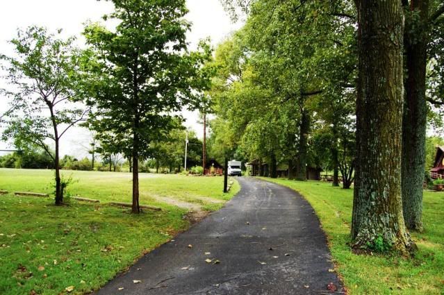
On his ~250 acre farm/manufacturing facility is a large man-made lake with a cool Tiki house built on it. The Tiki guys have had gatherings here, and Rob is open to having overland gatherings too. I drove up onto the bridge but couldn’t get the doors open to get a pic, oops.

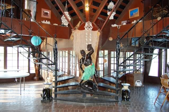
tikihouse2.jpg


DSC_0164.jpg


Tiger is parked just to the right of that building on the far right:
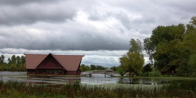
tikihouse-1.jpg


tiger.jpg


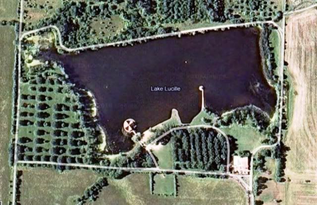
Here’s a google map of the lake:
lakelucille.jpg


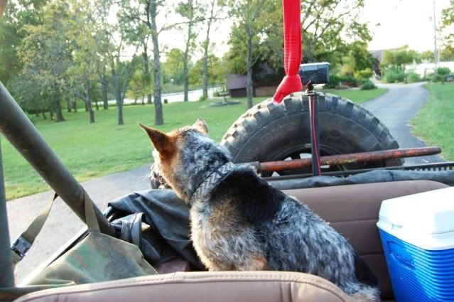
Rob let me use his vehicles, I almost declined this one – sure Pepper would jump out, but she did great. Even when deer and quail popped into view, she stayed in her seat, good girl! I guess we’ve made some progress on this trip.
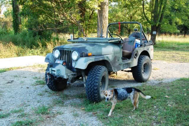
jeep.jpg


jeeppep.jpg


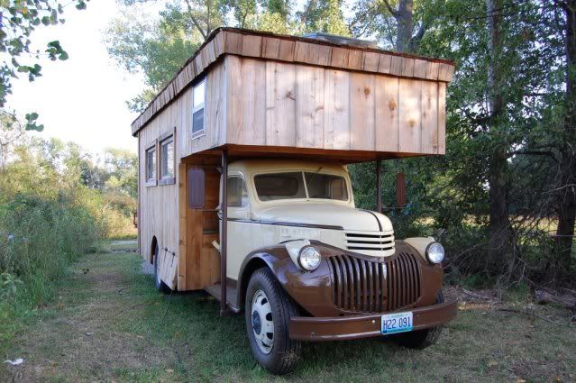
Across the lake, I spied this thing:
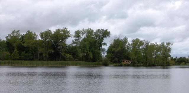
truckhouseinwoods.jpg


DSC_0182.jpg


It’s a truck house that he built, with a working woodstove inside. The base vehicle is a 1946 Chevy 2T truck, running perfectly, he takes it out occasionally. I put some other pics of it up here.

He has a great collection of classic cars, trucks, fire engines and motorcycles. Among his other ventures, he has a used car business. Lots and lots of toys here.

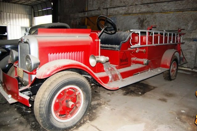
DSC_0197.jpg


DSC_0200.jpg


DSC_0209.jpg


Over the last ~65 years Parkhurst Manufacturing has built all kinds of things, the current business is mostly flatbed truck beds and trailers. He has a huge facility and some dedicated folks working there.
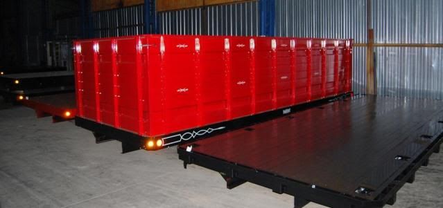
DSC_0215.jpg


The B-2 stealth bomber flew right overhead, seems they’re based nearby:
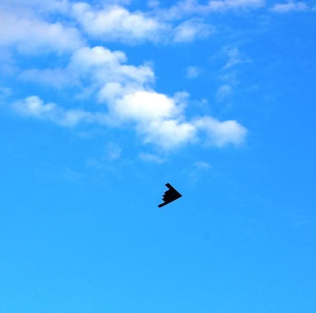
DSC_0226.jpg


I walked around the lake after another epic rainstorm, the lake was overflowing its banks.

DSC_0160.jpg


DSC_0040.jpg


Stopped to get some pictures of lake life,
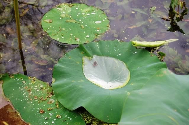
DSC_0087.jpg


DSC_0090.jpg


and heard this huge SPLASH nearby … a snapping turtle who lives there:
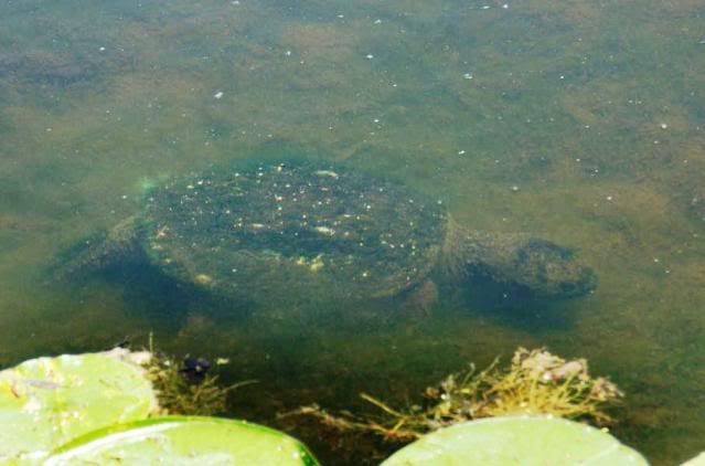
snappingturtle.jpg


Late one night I lay in the field watching the moon and an impressive lightning show, almost fell asleep out there, but got my butt inside before the next storm. I think we got 5” of rain in less than 3 hours, and had my first major problem with the Tiger – leaks around the edge of the roof causing water to come in.
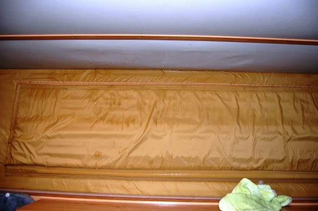
leak.jpg


Boo! Took a box fan a few hours to dry everything out, and everything will get re-caulked now. When I popped down, a large volume of water came pouring off the roof, a problem I haven’t been able to duplicate since. With the number and severity of rainstorms I’ve seen on this trip, I shouldn’t have been surprised but still a concern – this isn’t something you ignore.

I had a lot more fun in Sedalia than expected, and was totally spoiled by Rob and his gal Paula. I’m so glad I included this leg on the trip. MO is beautiful and I hope to get back there to explore Lake of the Ozarks and the history-filled Mark Twain NF. It’s definitely on my radar now.
 

suntinez

Explorer
Keep it coming Linda! I know your tired, but we are digging this report big time.

Thanks Dave ... you're right, this has kinda turned into the trip-report-without-a-plan! What was I thinking?

Just a few more entries though, trying to wrap it up before the next one. :snorkel:
 

suntinez

Explorer
into CO, GSD NP and the Sangre de Cristo wilderness

I really need to find some interesting spots in the middle of the country, it’s been a mental hurdle to take the leap across KS. I’m trying to make an event in NM though, so no more puttering around, west I go. It’s only 500 miles across the state, and on the other side are more mountains – big ones this time.

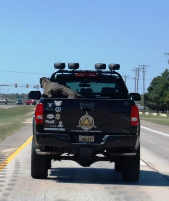
Spotted this guy on the way, all decked out with a big ************ dog guarding the bed, sporting US National SWAT Championship logo. Sounds pretty intense.

USNSWAT.jpg


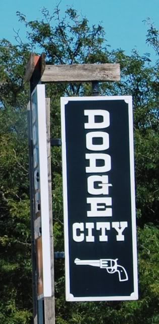
I took the livestock route instead of the grain route through Kansas this time, passing through Dodge City into CO.

DodgeCity.jpg


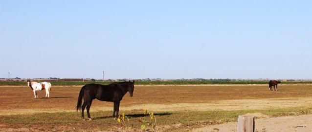
These horses aren’t fenced, they wandered across the road behind me.
horses.jpg


The first place I found to stop turned out to be really nice, John Martin Resesrvoir SP near Hasty, CO. The way they have things routed, it was several miles on a dusty dirt road to get to the Point Overlook. From there is a hike over to the wildlife area. This is a big nature area, the list of birds who migrate and breed at this park is staggering.

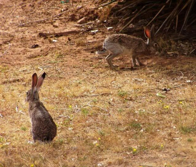
There were SO many jackrabbits, Pepper exploded – yanked the leash right out of my hand, and got hung up on a bush. Good thing, I don’t think I could’ve contained her! These guys were just a few yards away:

jackrabbits.jpg


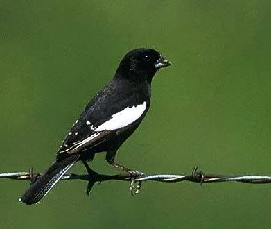
Lark bunting, the state bird of CO.
larkbunting.jpg


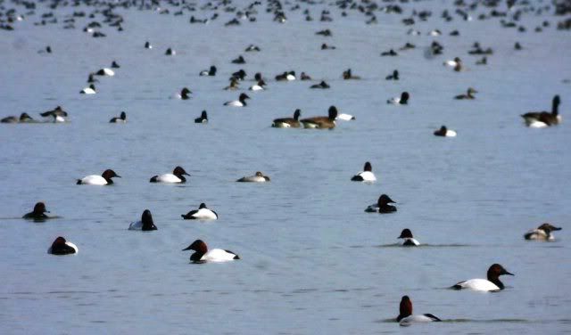
Down to the reservoir, hundreds and hundreds of birds. (loons?)
birdsonlake.jpg


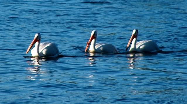
On another inlet, some pelicans.
pelicans.jpg


It's another pristine, empty park. I’m starting to think it’s not luck, they're everywhere! At least county and state parks ...

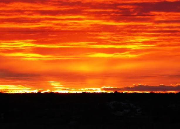
sunset.jpg


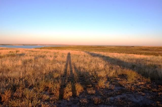
We caught some loooooong shadows at sunrise. That’s me, Pep, and Tiger’s shadows, pretty trippy.

shadows.jpg


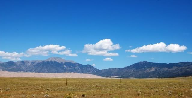
I head for Great Sand Dunes NP, in the Sangre de Cristo mountains, the furthest southern range of the Rockies. The sand dunes rise eerily in the distance, it almost doesn’t seem real.

approachingGSDNP.jpg


Medano Creek is a snowmelt feature that runs right by the base of the sand dunes, but it’s dry near the parking area. More sand for the dunes I guess, be fun to come back when there's water at the bottom.

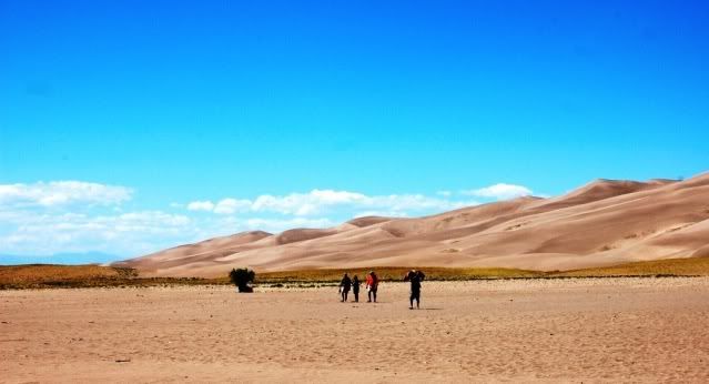
These dunes are HUGE, the highest in North America. It surprises me to find sand dunes in CO. They’re between the San Juan and Sangre de Cristo ranges, born of wind and water drying up to provide the sand. I thought the various Death Vally dunes were big until I saw the Kelso dunes in Mojave, and now this. Amazing.

GSD.jpg


I started up the dunes, the near ones are over 600 ft high, it’s quickly two steps up, one step back. Pep is in the parking lot, the sand is too hot for her feet - so I don’t go far. People are sandboarding down the dunes ...

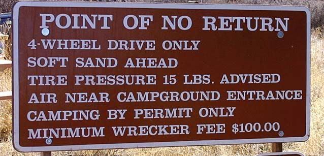
I know there won't be camping here - it’s a national park and it’s Labor Day weekend. The ranger tells me about primitive camping on Medano Pass Rd, it’s a 4WD only road that starts inside the park in sand and ends in a high clearance trail at the top. Surprisingly, they have air for vehicles coming down.

I don’t have any expectation I can do this trail through deep sand, and this sign confirms it – I turn around.
poinyofnoreturnsign.jpg


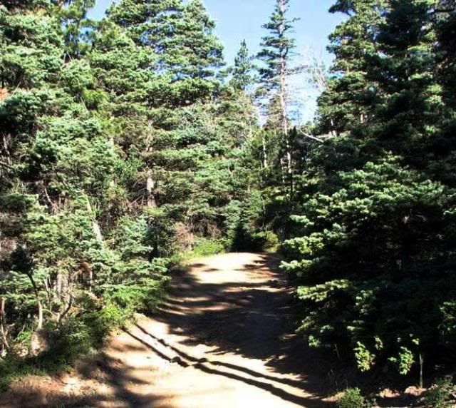
There’s another way to the trail from the east side, so I drive around the mountains and head for Gardner on 69. 8 miles past here is the top end of Medano Pass Rd. It’s an easy dirt road on this side, just past here burned trees show evidence of a big fire earlier this year.
medanopass.jpg


There was a lot of soot down there, making for a couple messy creek crossings. Every campsite I passed was taken, holiday weekend. Plenty of good looking potential spots, but I crossed through private property and NFS property. I didn’t want to wind up getting routed in the middle of the night, and there were several people on the trail. I asked around and found out about South Colony Lakes Rd, not far away.

Another 20 miles up 69, then CO 119 to FR 120 are the SC Lakes trailheads. This is a popular spot for hikers launching for Humboldt Peak and others biggun’s nearby. One lot at ~9000 ft for 2WD vehicles, and another a couple miles up at a river crossing near ~10,000 ft for high clearance vehicles.

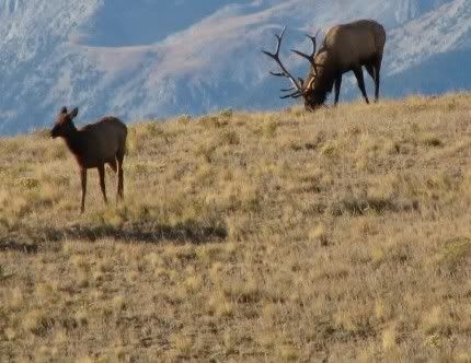
I saw these beauties on the way in:
elk.jpg


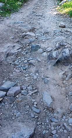
At the first lot, I aired up the airbags to 80lbs for clearance and head for the 2nd one, did a little slipping with RWD, but made it ok. This is one of the easier sections, was too busy tossing rocks for pics of the tricky parts:
SCLakesrd.jpg


Surprised there was a parking area, getting pretty remote up here - only hikers around - but it’s closed! There was one jeep up there turning around for the trek back, if there was a sign neither of us saw it.

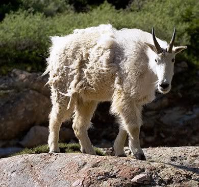
Saw a mountain goat walking down the road like a hiker, he skittered off but caught his buddy watching from above.
mtngoat2.jpg


5 more miles of rocky road isn’t quite what I had in mind right now.
Fortunately there were still some spots near the first trailhead. I’m beyond pooped, and call it a day.
 

suntinez

Explorer
around Taos, NM

When I was still on the east coast my best friend invited me to a Navajo naming ceremony for her granddaughter. Much of her family was converging on Albuquerque soon, and I was thrilled to be included – it's a lot of the reason I stopped going east and headed west. I'd also arranged to meet some folks in AZ for camping after that, good times ahead.

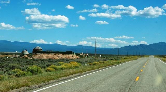
So aiming for Albuquerque, but still a few days out, I looped around to Alamosa before heading to Taos, NM. Coming across 64, I spot this on the side of the road:

earthshipfromroad.jpg


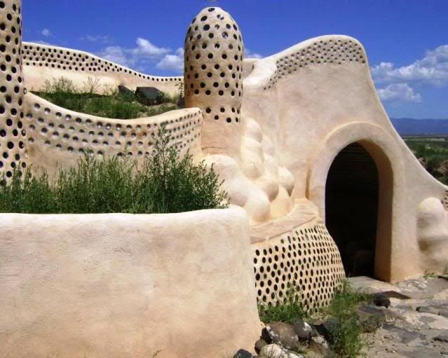
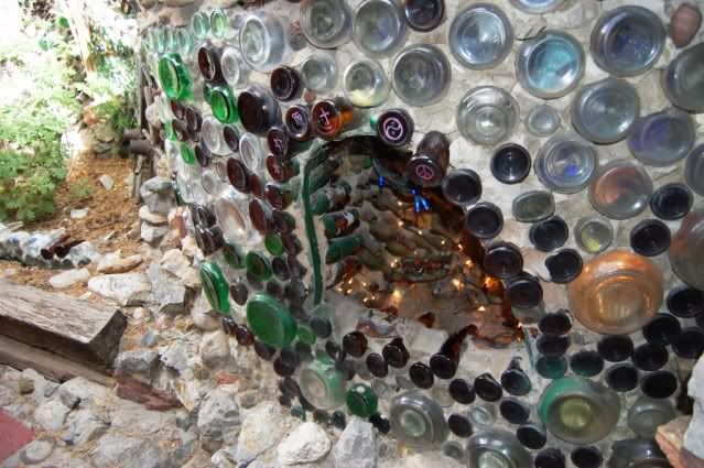
For a long way along the road, you see the tops of homes sticking up out of the earth. It's the world headquarters for the Earthship Biotecture, a community of people living near-completely off grid, building their homes of mostly recycled materials and producing their own food. Fascinating stuff, well worth a visit.

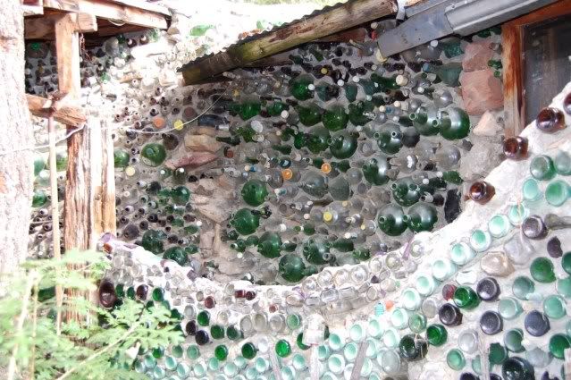
Walls built from recycled bottles and mud:
earthship2.jpg


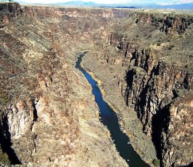
Just up 64 from here is the Rio Grande Gorge Bridge, there's a bunch of artists and vendors just past the bridge. Looks fun so I stop to look at the offerings and chat with some folks, a pretty eclectic mix of stuff and people.

riograndeinTaos.jpg


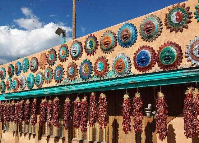
I stop in Taos for lunch, it's starting to feel like home – dry heat and all-day breakfast burritos, yay! I'd been looking for a sun motif for a friend, pickings were slim in VA, clearly not a problem here:

DSC_0219.jpg


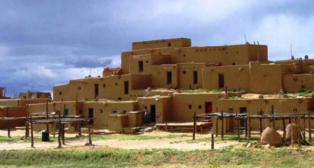
I wanted to see the Taos Pueblo community so head north a bit to check it out. Standing in the shadows of Wheeler Peak, the highest point in NM, are these beautiful traditional adobe buildings. They are the oldest continuously inhabited buildings in the US, with the oldest parts built between 1000 and 1450 AD. It's like a step back in time, people still live there today.

Clouds start rolling in – is it going to rain again?

pueblo2.jpg


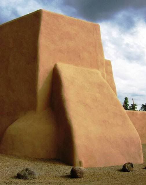
pueblo3.jpg


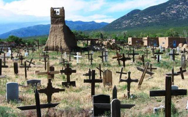
pueblocemetery.jpg


Those clouds made for a big NM sunset:

sunsetinTaos.jpg


I keep heading east on 64 to Angel Fire, south onto 434 – a great twisty road working its way through canyons and forest, to Coyote Creek SP.

I got the last spot on the primitive site loop, CG was large and full but my spot had a lot of privacy. There's a fishing creek running right through the park. And I'm happy to find hot showers in the morning.

coyotecreekSP.jpg


Near Guadalupita:
DSC_0232.jpg
 
Last edited:

suntinez

Explorer
Sandia mountains, NM

Yep, I know what you mean - I picked up some real estate blurbs while I was there, mighty tempting.

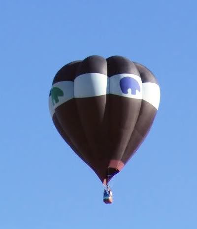
On the way into Albuquerque, I see a few hot air balloons – the annual balloon fiesta takes place in a few weeks.

soloballoon.jpg


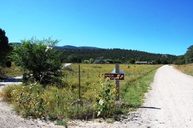
Along the Turquoise Trail, up in the Sandia mountains, I find a low-key campground, which strangely enough is also home to the museum of archaeology and material culture.

DSC_0096.jpg


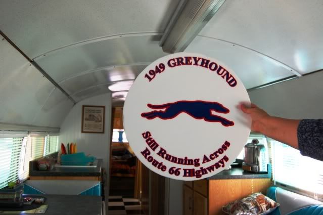
They just had a gathering of vintage camping buses here, and a couple who live nearby were hanging around a few extra days in the mountains, escaping the heat. They had a cool 1949 Greyhound bus which they've been restoring, and a bunch of hilarious stories about picking it up in the Midwest.

DSC_0032b.jpg


The day after I arrive is my birthday, perfect temps at 8K feet - seeing sights, a bit of shopping, long hike on the Sandia Crest 10K trail, crawled in the "man" cave, and an impromptu feast with my greyhound neighbors and some crazy characters who came to visit them.

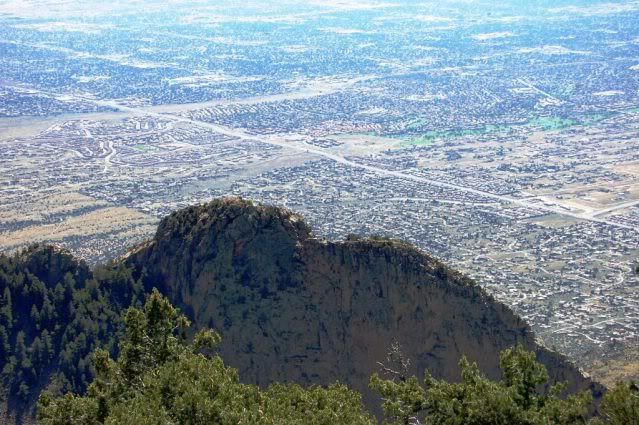
View of Albuquerque from Sandia Peak:
DSC_0052.jpg


My campsite is on the other side of that ridge:
DSC_0087.jpg


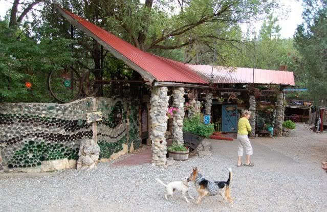
I stopped by Tinkertown Museum in the morning, we were the only ones there and the lady who owns it let Pepper come with me, her dog followed too:
DSC_0118.jpg


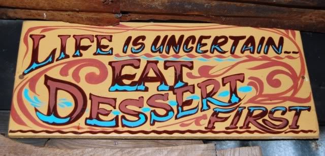
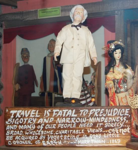
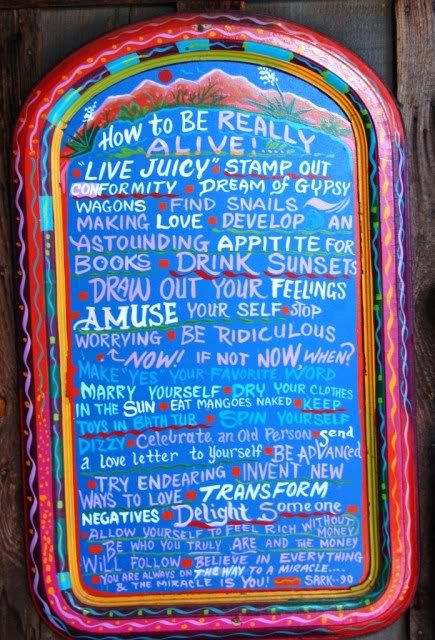
Her husband created this folk art collection, it's 20+ rooms full of tiny miniatures, rustic collections and little nuggets of wisdom on signs everywhere:

DSC_0133.jpg


DSC_0099.jpg


DSC_0056.jpg


DSC_0035.jpg


DSC_0033.jpg


I love this one:
DSC_0062.jpg


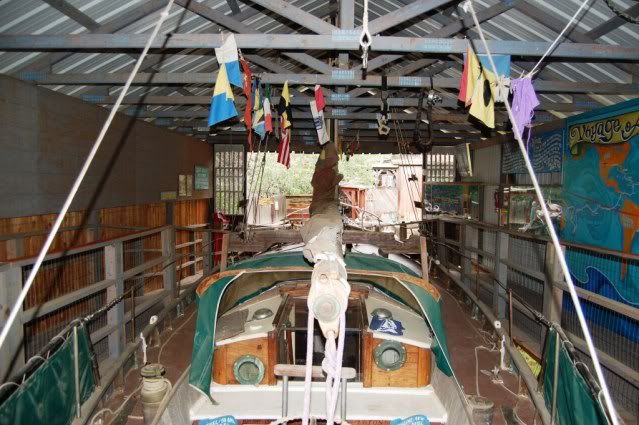
In the back is this antique wooden sailboat that took a 10-year trip and has been around the world:

DSC_0080.jpg


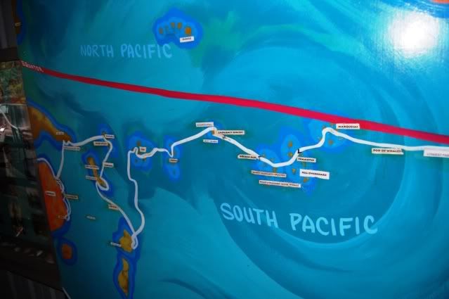
Their trip is traced out on the wall – what a trip that must've been!
DSC_0084.jpg
 

suntinez

Explorer
Albuquerque, Santa Fe and Gallup NM

The next day my friend arrives in town, it’s so good to see her again. We spend hours catching up on the summer, and treated to homemade albondiga soup and indian frybread. Her daughter-in-law's family start arriving from all over, everyone is here for the naming ceremony.

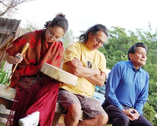
A Navajo (Dine) naming ceremony is held after an infant first laughs, at sunrise. Navajos give great powers to their names, and have several over their lifetime. The ceremony is an important event, the name by which a human spirit is known to the world. Family is so important to the Navajo, and these ceremonies give the child a sense of safety and belonging, honor, and respect.

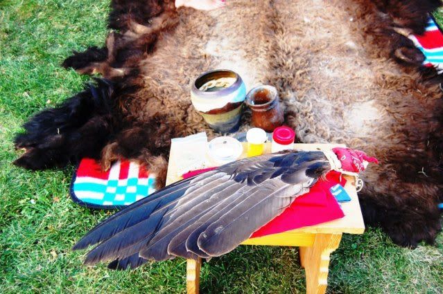
Every object used has deep significance and Mrs. Thunderchief, who led the ceremony, took the time to explain everything. It was a celebration for sure, and a huge breakfast afterward.

DSC_0032.jpg


DSC_0045.jpg


DSC_0038.jpg


Afterward, some of us went to a cemetery where they shared good memories of family members no longer here:
DSC_0161.jpg


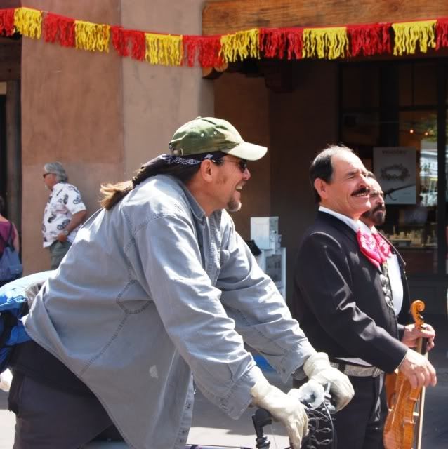
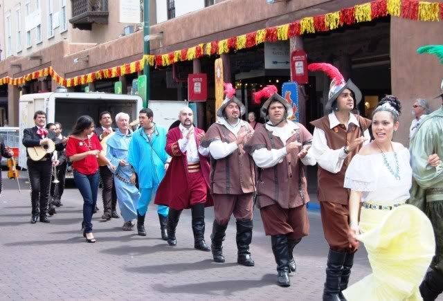
We drove up the Turquoise Trail to Santa Fe, and went to a native American art gallery. We just happened to be there the day of the Zozobra event, a whimsical burning in effigy of a 50-ft bogeyman which symbolizes doom and gloom. “Burn him!” the crowd says.

Everyone is happy, it’s the beginning of the Fiesta which has been celebrated in Santa Fe since the 1700s. Considering Burning Man has just finished, I think it’s cool to be here for this instead. Party in the streets!

DSC_0189.jpg


DSC_0187-1.jpg


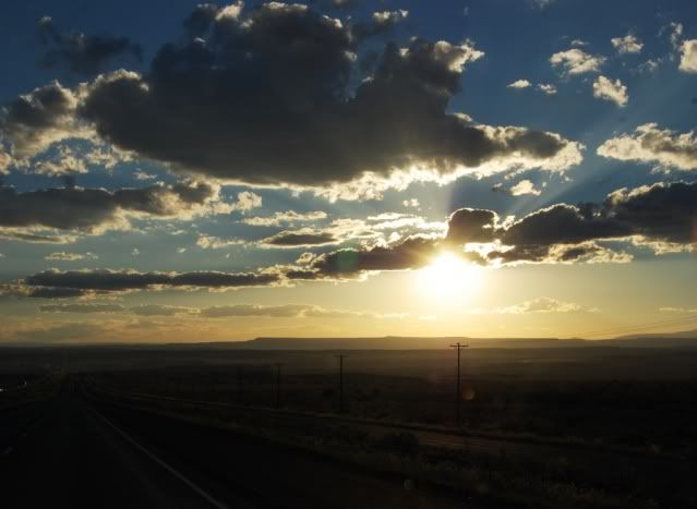
My time with these new friends is over, and I’m heading to AZ to hookup with some folks for camping on the Mogollon Rim. In order to cut down on the drive the next day, I leave in the evening:

DSC_0271.jpg


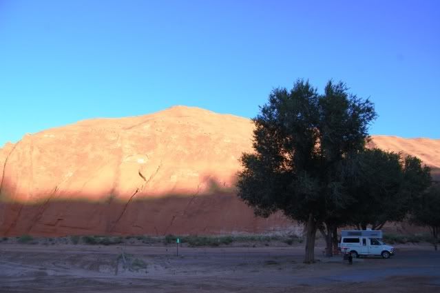
and wind up at Red Rock Park in Gallup, NM.

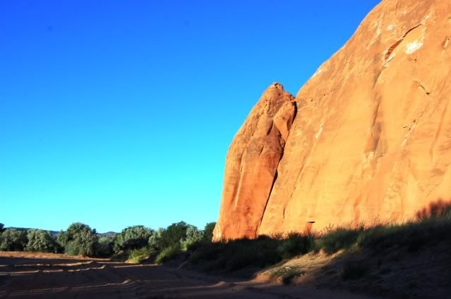
Wandering around in the dark, wasn’t quite sure where I landed, but when the sun comes up in the morning I think – hey, not bad :) Sometimes you never know what you're going to wake up by :

DSC_0292.jpg


DSC_0311.jpg


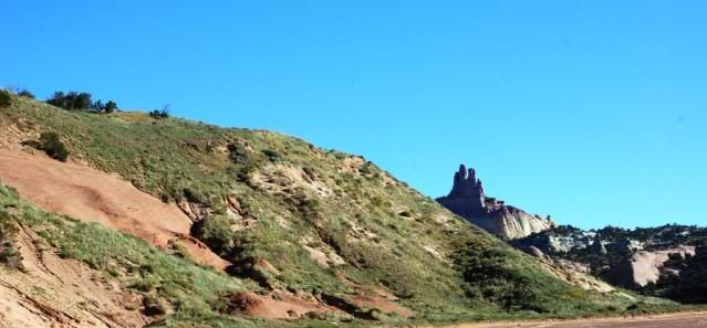
Cathedral rock in the distance, would love to hike up there, but it’s a driving day:

DSC_0322.jpg
 

suntinez

Explorer
near Potato Lake, AZ

This is the last leg before home, and I can’t think of a better crew to end with. I’ve camped with Louis and Gavin before, but they both moved to AZ in the last year, so it’s been awhile. This time they’re bringing their whole families, should be better than ever, family camping is the best!

I call Gavin from a gas station in Winslow, AZ cause I’m not sure how cell reception will be on the way to Strawberry, where we’re meeting. He asks if I’m standing on a corner … it takes me a minute. I tell him the gas station is on a corner, but no - no flatbed Fords in sight. Must’ve been the wrong corner.

He tells me about an ice cream place in Strawberry, we should meet there instead of the FS road we were planning on. I’m always up for ice cream - no problemo, hoping for hand churned :) Heading down 87 is a beautiful drive, cool temps and nice views.

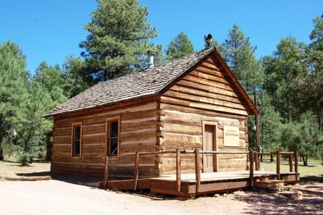
I arrive in Strawberry but can’t find anything like an ice cream parlor. It’s a tiny place so I park at the Strawberry Lodge Café & Hotel, must be what he meant - the only real intersection in town. I’m early so decide to look around, drove down Fossil Creek Rd and found the Strawberry School House, the oldest standing schoolhouse in AZ:

strawberryschoolhouse.jpg


schoolhousedetail.jpg


It’s a nice place, but I’m kind of chuckling – seems even tiny towns like Strawberry have a superlative in their resume. All across the country, I’ve found this to be true. Everyone is famous for something. I head back to the café, and am treated to a spot by these 3 pristine rides:

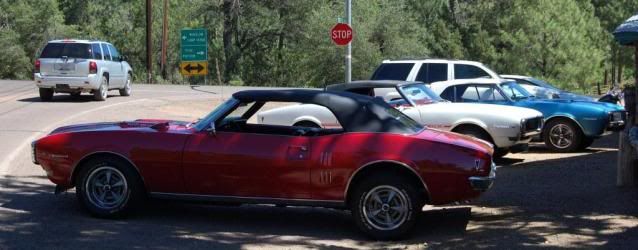
firebirds.jpg


DSC_0379.jpg


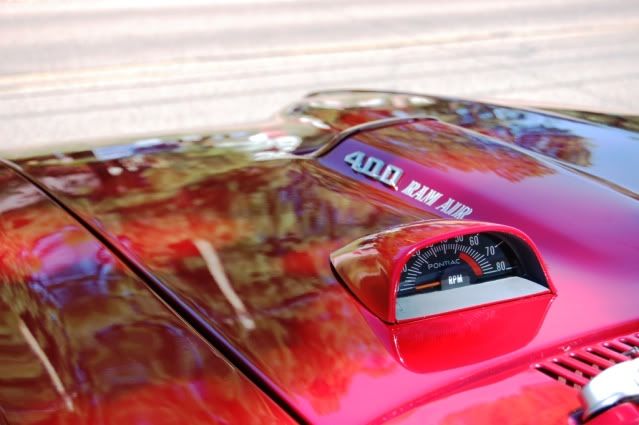
Just a few days ago I was talking to the greyhound folks who are antique car collectors, and I had them on the lookout for a good deal on this very car – my dream car – a 1968 Firebird convertible. And here they are – unbelievable!

I get ahold of Louis, tell him not to hurry, I’m going to grab a bite and make friends with these folks. Turns out they’re all in a club, and were here because of a great pie review for the café. I didn’t have the pie, but I did have a really great lunch, and got to hear these beauties rev up and drive down the road. Ahhh.

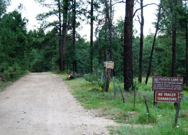
Everyone rolls up at the same time – the ice cream place was in Pine, not Strawberry - oops. No matter, we’re all happy to re-connect and set off for our destination on the Mogollon Rim, Potato Lake. We can’t camp at the lake,

potatolake.jpg


but we can play there! Louis is a great rock skipper and Pep is happy to do her part. Her favorite game, chasing rocks in water:

splash.jpg


They both have the same expression! They must be related.

splashhappy-1.jpg


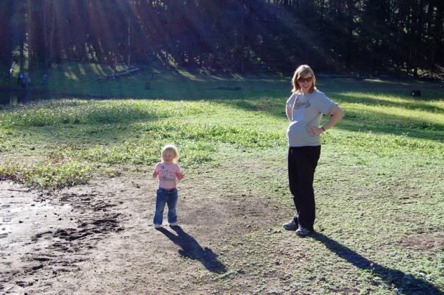
Huge kudos to Tiffany for camping at 8+ months pregnant – you rock!

DSC_0016.jpg


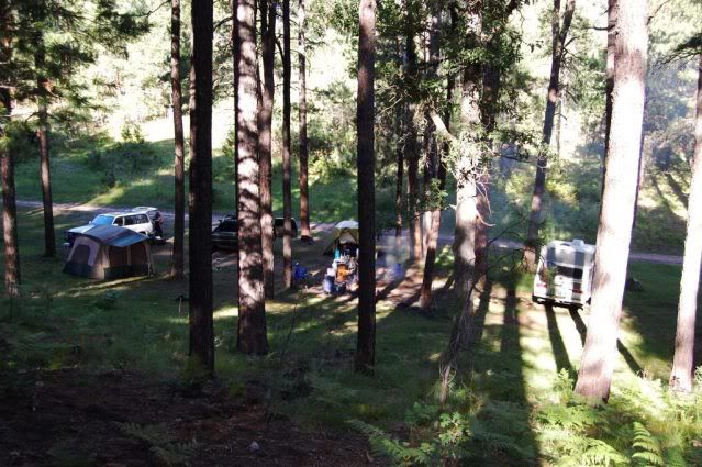
We found a spot with a blocked off road right nearby and setup camp:

DSC_0082.jpg


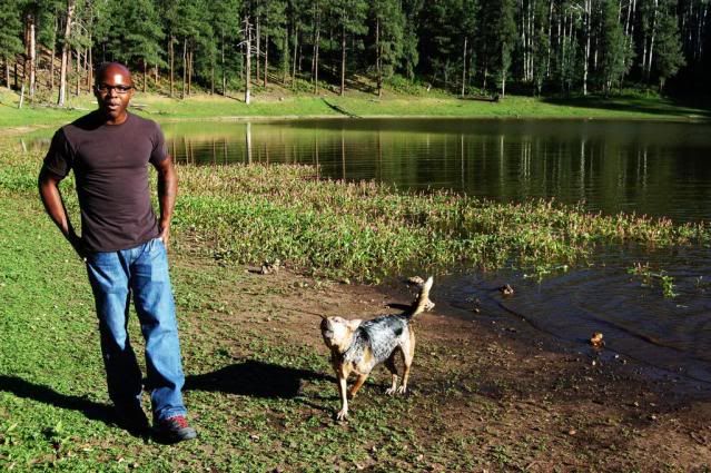
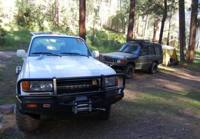
The GWB is new since I’ve seen Gavin, a huge improvement over his last ride. He’s done a nice job on it:

DSC_0100.jpg


Pretty sure Five knows it’ll be his one day – he loves this truck!
DSC_0327.jpg


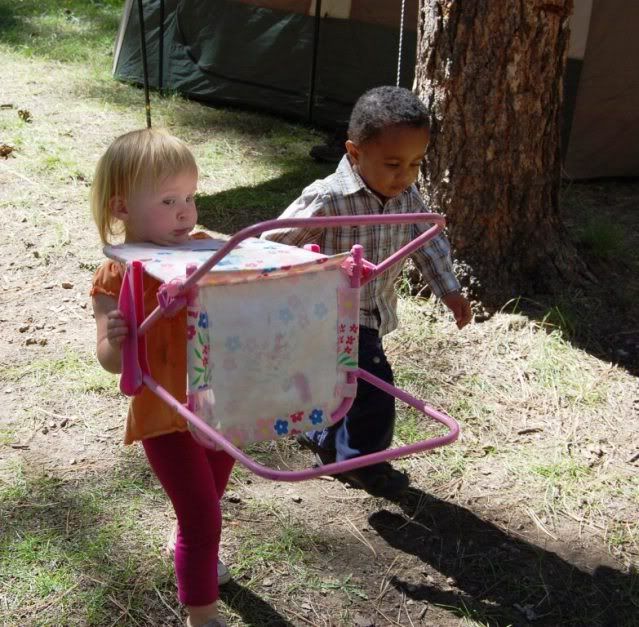
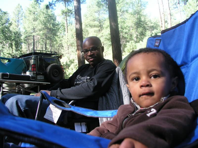
Annalee helped setup – she toted this chair all around camp:

chaircarry.jpg


Bubbles are a hit with the kids:
bubbles.jpg


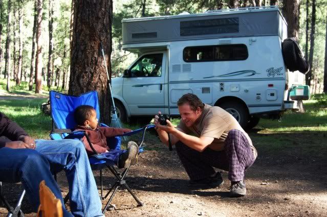
Gavin got a great pic here:
DSC_0112.jpg


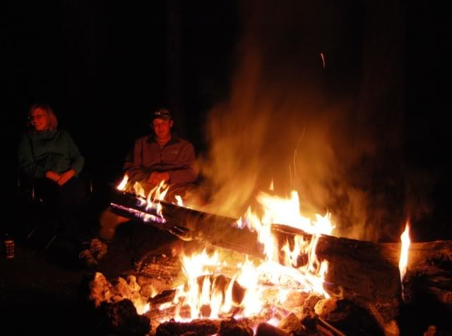
There is downed wood all over the place, so Louis and I borrow Gavin’s axe and get busy. For the first time on this trip I’m chilly so it’s not just for looks, and Louis is like a kid in a candy store - he loves a big fire:

fire1.jpg


I think of all the times we’ve been camping, this is the first time he’s actually been satisfied with the fire

fireLLL.jpg


We stay up late catching up, but finally head to bed. Louis stays up babysitting the fire - we're happy to leave him in charge.
:campfire:
 

suntinez

Explorer
Milk Ranch Point, Mogollon Rim, AZ

Thanks Gavin! Was hoping you were out there somewhere ... :ylsmoke:

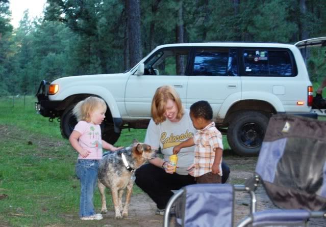
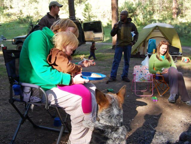
Next morning someone made me breakfast – when you travel solo, you don't forget treats like that. And where there's food, there's Pepper:

breakfast.jpg


Working Five for cheerios:
food1.jpg


Learning the “ignore” tactic:
food2.jpg

ignore.jpg


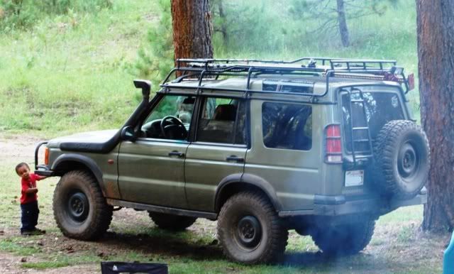
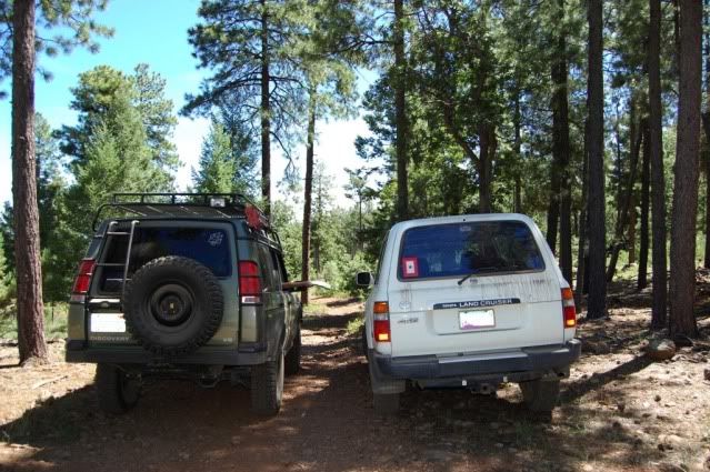
I hitch a ride in the Disco and we head off for Milk Ranch Point on the Rim:

map.jpg


We stopped to enjoy the views on the way:
fergiefmaily.jpg


4L5.jpg


Map handoff, we got a little side-tracked:
maphandoff.jpg


Possibly the smallest water crossing ever, but if we hadn't spotted this puddle we wouldn't have gotten back on track:
puddle-1.jpg


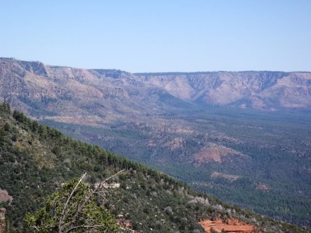
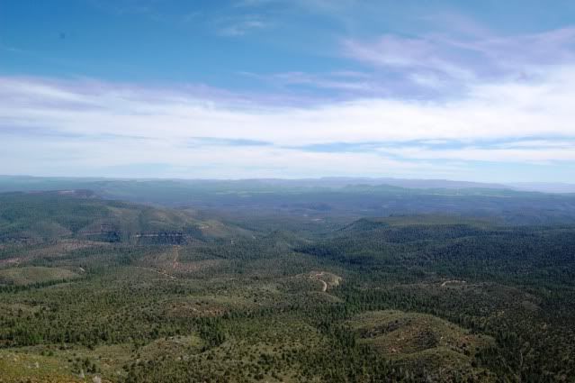
We arrive at Milk Ranch Point, it's beautiful:

RIM.jpg


rimview.jpg


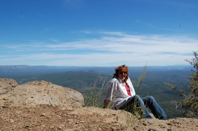
I spent most of my time on this little ledge, taking in the view and reflecting on all the things I've seen:

meonRIM.jpg


I want to learn how to stitch photos together for panoramas, this place is worth it. We fix lunch and kick back.

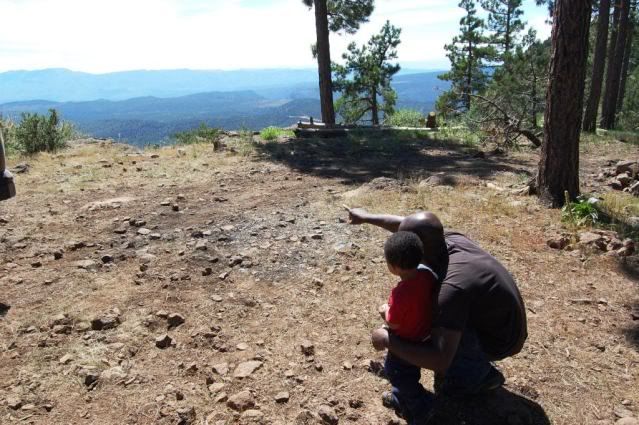
Getting to see the world brand new through the kids' eyes is fun:
point.jpg


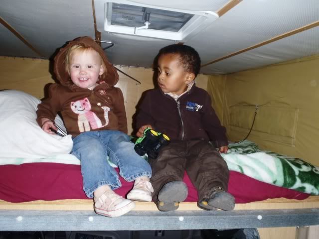
It's all about little campers:
littlecampers.jpg


growing up to be big goofy campers:
bigcampers.jpg


We head back to camp and put the kids down for a nap. I'm exhausted too, so laid down with Pepper for a bit. I don't think I've even attempted a nap this whole trip, and I knock out pretty quick. A lot of late nights and early mornings - if you're not exhausted at the end of vacation, you ain't doing it right. Right?

The kids never napped, poor little Annalee is feeling sick, she's been on the porta-potty so much this trip everyone feels bad for her. Things take a turn for the worse, so Gavin packs up, they're going to leave before night falls:

packingup.jpg


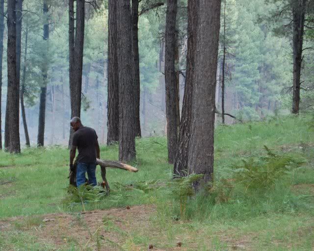
Before they leave, we do some more wood chopping, and Louis drags his kill back to camp:
DSC_0338.jpg


This was a HUGE pile of wood - he used a forked piece like a sled to get it down to camp. So we have a woodpile and a fire, that should do it:

firepile.jpg


We're sad to see them go, but know it's the right decision.

She is such a little trooper, you'd never know from how she was acting how bad she must've felt. With promises of an update on her condition, we say good bye - until next time!

bye.jpg


GWB.jpg


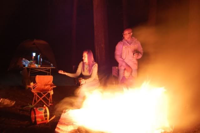
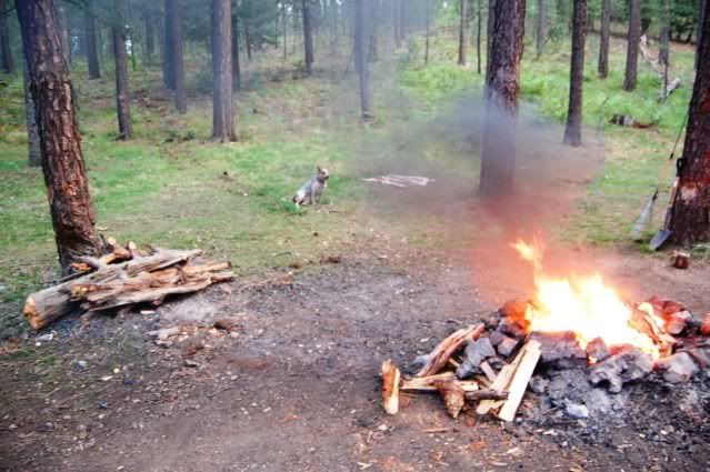
We get the flames going again, and chat long into the night. A lot has gone on since I've last seen these two.

It's really cold, but no problem – as long as we stayed near the fire. Here's the lovely Lindsay staying warm:

Lindsay.jpg


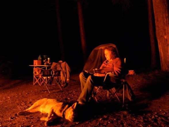
It was awesome to see these guys again. Like I say – the perfect way to end my trip, with good friends and a fire.

PepFire.jpg


I can't believe I'll actually be HOME tomorrow. :elkgrin:
 
Last edited:

Mr. D

Adventurer
Terrific pictures and information. A once in a lifetime trip. It is wierd how sitting by a fire you can have a conversation or not and all seems fine as long as the flames are burning.
 

suntinez

Explorer
home sweet home

A once in a lifetime trip.

I can't tell you how many times on this trip I had this exact thought, and overwhelmed with gratitude for all the things that fell into place to make it so! Thanks ...

The drive across I-10 from Phoenix to Palm Springs is the same, long hot and boring. With one exception – Pepper discovered that cars don’t actually need herding, and chilling in front of the AC is ok:

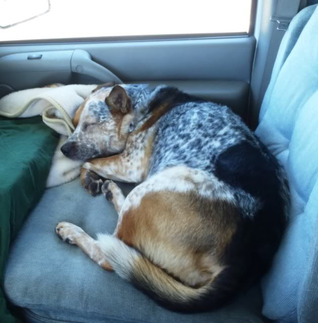
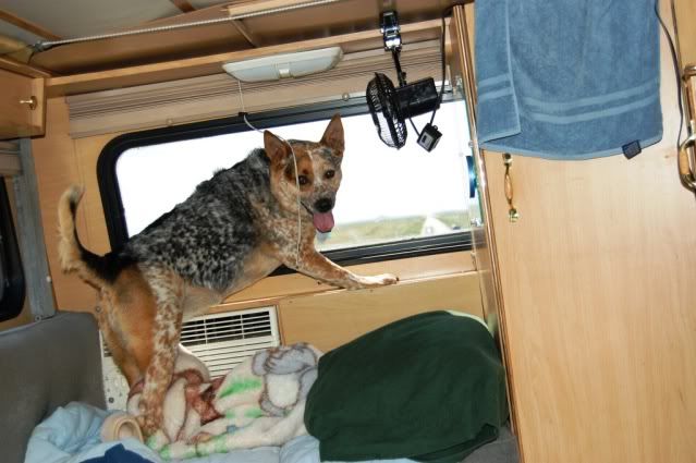
chilling.jpg


Compared to her stance coming across NV, I think we’ve made some progress. She never sat down until MI :Wow1:
pepatwork.jpg


I see San Gorgonio from I-10 and think those are MY mountains, even gridlock traffic can't stop me now.
We’re both happy to be home, and back to our regular haunts:

waterfall.jpg


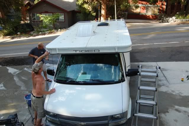
A lot of folks didn’t even know I was leaving, and some nice neighbors came over to give Tiger a bath:

toniclean.jpg


After all the critters I’d seen, I never saw a bear until I got home. This little guy, who’d been around in the spring, made a return visit the day after I arrived.
bear.jpg


Yeah, it’s good to be home.

Perhaps even more amazing than the end of the trip, is the end of this trip report. I doubt I’ll do another one this long, but thanks for all the nice comments and PMs I’ve gotten – really appreciate that.

If you made it to the end, the next one's on me! :beer:

If you get out, post something up about where you went. You never know who might be reading, and get inspired by your trip. Trip reports are one of the best parts of this forum, IMHO. There’s undoubtedly something in your neck of the woods I’ve never heard of. What's YOUR town's superlative? Since we know everywhere has them.

Now it seems there’s boxes to unpack near Yosemite. That was plan A - let’s try this again, be right back … :victory:
 

FourByLand

Expedition Leader
Terrific pictures and information. A once in a lifetime trip. It is wierd how sitting by a fire you can have a conversation or not and all seems fine as long as the flames are burning.

Too true.

I don't really remember much but the heat was intense... just how I like it.
Beautifully done trip report, Linda.

SAM_0490-1.jpg


Good to see all of you again.
 

Forum statistics

Threads
188,343
Messages
2,905,859
Members
229,959
Latest member
bdpkauai
Top