AdventureTaco - turbodb's build and adventures

turbodb

Well-known member
Redhead Down #2: ******, There's a Bat in My Tent!

I didn't wait in Rawlins long before Monte @Blackdawg and his dad Steve @woodnick showed up at the gas station across the street. Their trucks fueled up, we said our warm hellos and set about our first task of the trip - buying firewood.

It's here - before I even really get into the story - that I have a confession to make. I do this only because it may be my last opportunity - this trip changing the way we approached camp fires all together.

I don't like buying bundles of firewood.
To me, it just seems like burning money. :ROFLMAO:

It feels that way because - yep - that's literally what's happening.

And, for any really good camp fire, you need at least two or three bundles of wood, which means you're out a good $15 per night of camping. Or - and this is how we often ended up - you try to go sparingly on the wood, making two bundles stretch over three nights - and then everyone is freezing from 8:00pm to midnight when it's finally time to go to bed.

Regardless, we hadn't yet gotten to the point in the trip where we were past the need for bundles of wood - so five more bundles were purchased, to supplement the wood I'd brought from my workshop, and the bundle that Monte already had in his truck. And then, we headed south towards dirt!

48830295811_a9b48d265e_h.jpg

We soon found ourselves on that dirt as we thundered down Sage Creek Road - which was really more of a gravel highway - until we blew by a sign next to a cattle grate where we caught only one word: closed. Turns out that there was apparently active logging on this road, and so it was closed to public use during working hours. Luckily for us, it was 4:57pm, and the road was "open" from 5:00pm to 6:00am, so we waited three minutes and set off once again. It was soon apparent that the closure was warranted.

48830461832_d6e53c46f8_h.jpg

We continued for less than an hour before arriving at the spot that Monte had thought we might camp - a little lake (reservoir) off of the main road. Unfortunately, the last half mile or so was gated, and while there was clearly a well-traveled bypass, it was labeled "Private Property ... Foot Traffic Only." Still keen to see where we could have camped, we set out on foot and discovered some old cabins and a spot that would have been sweet to camp at.
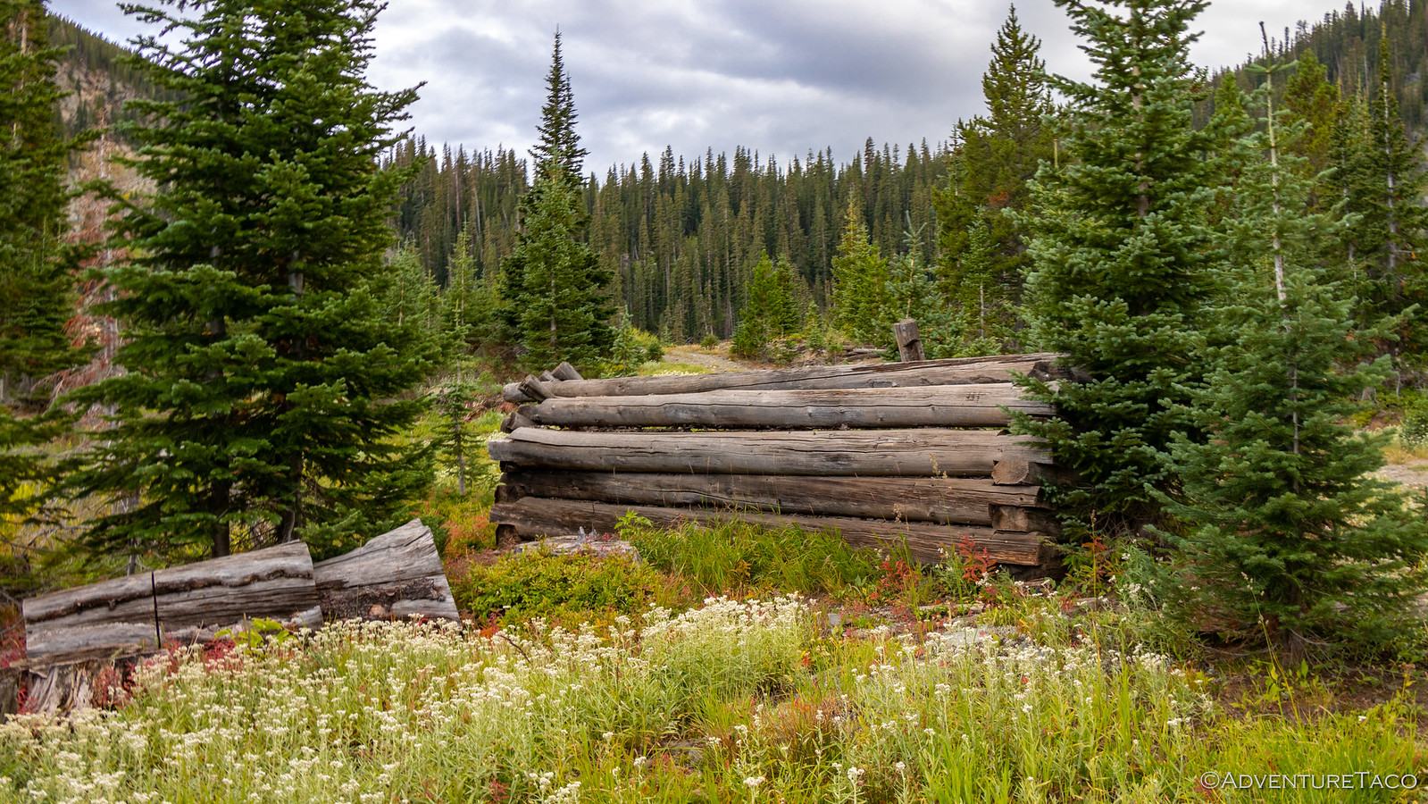
48829918698_e05a12b1b8_h.jpg


48830461657_8460c882d4_h.jpg

A bit bummed, but knowing we'd have plenty more awesome spots on our journey, we headed back to what had become a makeshift camp area at the gate where we'd left the trucks and set up for the evening.
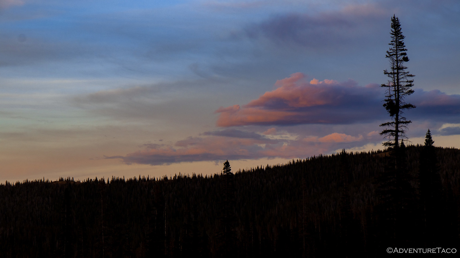
48830295461_72cdfee72f_h.jpg

We'd all had long drives over the course of the day, and a few sprinkles of rain helped us to keep dinner and the camp fire relatively short - all of us retiring to our tents by around 10:00pm. All of us except the dogs that is - Bix and Satch - they were keen to stay up all night, protecting camp and investigating the surrounding area; oblivious to the fatigue that would cause in the morning.

- - - - -​

September 17, 2019.

It was a pleasant night, the cloud cover that brought a few sprinkles the previous evening keeping the temperatures a bit more temperate than the clear sky nights we'd encounter from this point forward, but they'd cleared by the morning - a beautiful blue sky spread above camp.

48829918498_27cc6f47ee_h.jpg

With Steve in camp, Monte was tasked with preparing breakfast - eggs and bacon - and I took the opportunity to head back up to the reservoir to check it out in the morning light. It was a nice walk, nature waking up around me, and while the lake was still in the shadow of the mountain to it's southeast, there were plenty of other things vying for my attention.

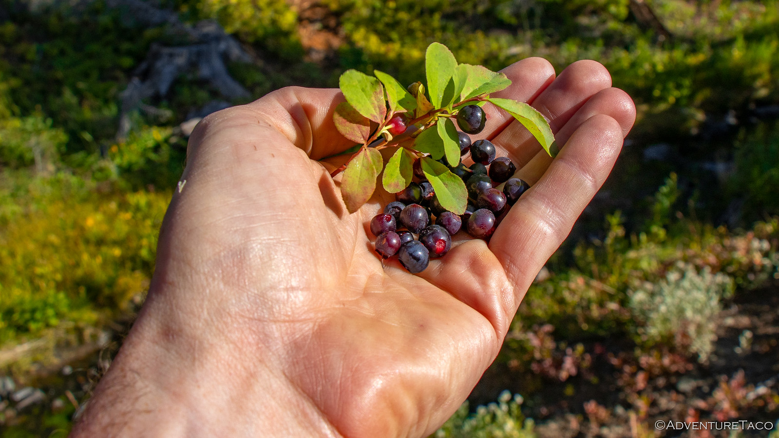
A small stream flowing out of the reservoir, fingerling fish darting here and there. Bright green algae in the water, waving in the current. And huckleberries - tons of huckleberries. I picked a few to bring back to camp, having learned on our trip to Canada that Monte had never seen these wild delicacies before.

48830295261_2e0076040a_h.jpg


48830295146_3a7fc8f2da_h.jpg


48830295076_1f13b7052b_h.jpg

As I arrived back in camp, breakfast was ready and - having assumed I'd eat cereal that morning - I was thrilled that an extra serving of bacon and eggs had been prepared for yours truly! We ate up and chatted for a while - we were in no rush this morning, since we'd planned to meet Mike @Digiratus around noon, not too far away.

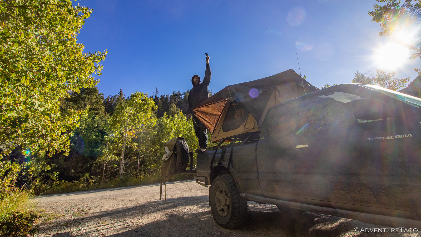
It was 10:00am or so when we finally started getting our things together and as I lifted the ladder to fold my Mt. Shasta @Cascadia Tent onto the bed rack, I was shocked at what I saw between my mattress and the anti-condensation mat. It was a bat!

48830461167_9c56209eb4_h.jpg

That bat had been in my tent - likely all night! I hoped that it'd been crushed quickly when I got into the tent, and that it hadn't suffered as I'd slept soundly through the night. It was a tiny bat - probably only a few inches long - and nearly weightless.
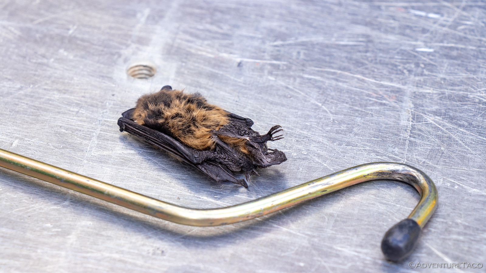
48829917958_a046ebd4a5_h.jpg

Regardless, there was definitely a bit of excitement around camp as the discovery was made, and it delayed our departure by a few minutes as the situation was remedied. But before long, we were on the road - finally airing down, something we'd skipped the previous evening since the road to this point had been reasonably smooth.

48830460992_022493bc39_h.jpg

With that, and a little after 11:00am, we entered Medicine Bow - Routt National Forest and started our climb up Bridger Peak. This was a summit that Steve had planned to activate using Morse code on his HF Ham radio rig, and I for one was curious what exactly that would entail.

48829917793_3eaef29351_h.jpg


48830460687_bcddc1a638_h.jpg


48830294506_5819a88ca2_h.jpg

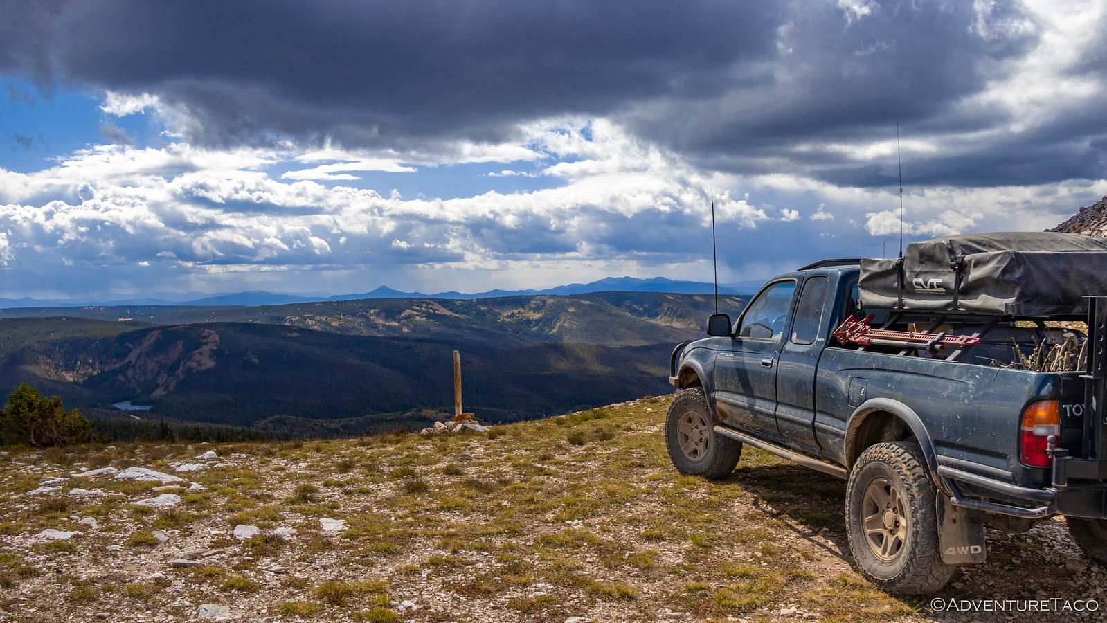
The climb to the top wasn't a long one - it probably only took us 45 minutes or so to get there from camp, and that included stopping for photos. But what it lacked in time, it made up for in views. We'd climbed to over 11,007 ft here along the Continental Divide, and as one of the highest peaks around, we had an amazing view of our surroundings.

48830460462_2f1dde0f45_h.jpg


48830460372_71e54877e0_h.jpg


48830294246_3f28dc88c1_h.jpg

We also had amazing views of the storms all around us. Not just any storms either - we could see even from a distance that these were lightning storms. All of us wondering how long we'd want to be up here in the highest place around, Steve set about activating the mountain - or at least attempting to.


Don't miss the rest of the story, and all the remaining photos that don't fit here (due to max post size). Hopefully that can change in the future, but until then...


.
 

turbodb

Well-known member
Redhead Down #3: We Cross into Colorado

The clear Wyoming skies meant that it was a very cold night. Everything covered in frost - including our pillows and sleeping bags where we'd been breathing on them as we cozied down for warmth - even Monte @Blackdawg came out of his tent in the morning, glad for the warmer temps that the sun beamed down on camp and started to melt the frost away.
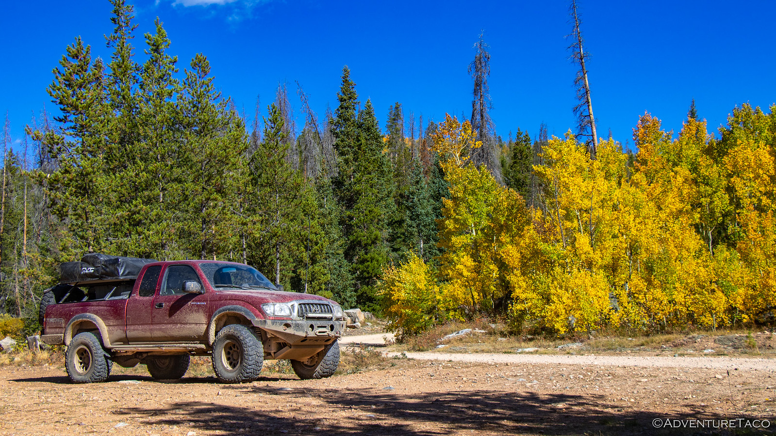
48834485632_62504af939_h.jpg


48833944513_434a692d00_h.jpg

As we all warmed up in the sun, we set about our usual morning routines - intermixed of course with chatter about what was on tap for the day, and what amazing things we hoped to see along the way. Breakfast for me was a chilly bowl of Cheerios, for Mike @Digiratus a couple cups of coffee, and for Steve @woodnick and Monte - more bacon and eggs. It was also Steve's last morning in camp, so he graciously handed over the extra eggs and lunch meat he'd brought along - we'd have more use for it in the next couple weeks than he would!

48834485302_c95f74275d_h.jpg

It took an hour or so, but everything eventually dried out and we all started to warm up - enough that I was back in the shorts and t-shirt that I'd been wearing the previous day. By 10:00am or so, we found ourselves pulling out of camp - still four trucks, but not for long!

48834314621_45f772f046_h.jpg

Somehow ending up in the lead, I enjoyed five minutes of dust-free travel as we sped along FS-80, right at the Wyoming-Colorado border. This was where Steve was set to peel off from the rest of the group to head home - leaving Mike, Monte, and me to continue west - weaving our way along the state line for much of the day before finally committing to a southern route in the state we'd planned the trip around.

48834484837_f73087da39_h.jpg


48834484652_8fe830f288_h.jpg


48833943413_ff15f122aa_h.jpg

Hugs and handshakes all around - except Monte, who was the recipient of a minute long embrace - Steve bid us safe travels and headed east as we shuffled our truck order and took off on our planned route. Our first order of business for the morning was to search for a special "camp bench" that Brett @Squeaky Penguin had built at what we could only assume was a special camp site along one of the roads we planned to drive. Unsure exactly where it was, the first half hour or so was along a nicely graded gravel road, before we turned off onto a trail signed as "MOST DIFFICULT." At least, I think that's what it said - because all I can remember is "TURN HERE FOR FUN."

48834313921_94e8244dd7_h.jpg


48834313801_bd68e57fd5_h.jpg


48833951648_42e2ab09de_h.jpg

Of course, as is often the case, this most difficult trail was perhaps slightly over classified. Sure, there were a few tight turns, but nothing here really taxed our trucks or skills in any way that could be considered noteworthy. All that meant, really, was that - as we would our way through the woods, up and over ridge lines, and along re-routes that had been created before us - we could enjoy ourselves out here in the middle of nowhere as we searched for a bench. A bench that ultimately alluded us.

48834492302_59172cbf15_h.jpg


48834492172_a40a7c2e23_h.jpg


48833951043_b856e7653e_h.jpg

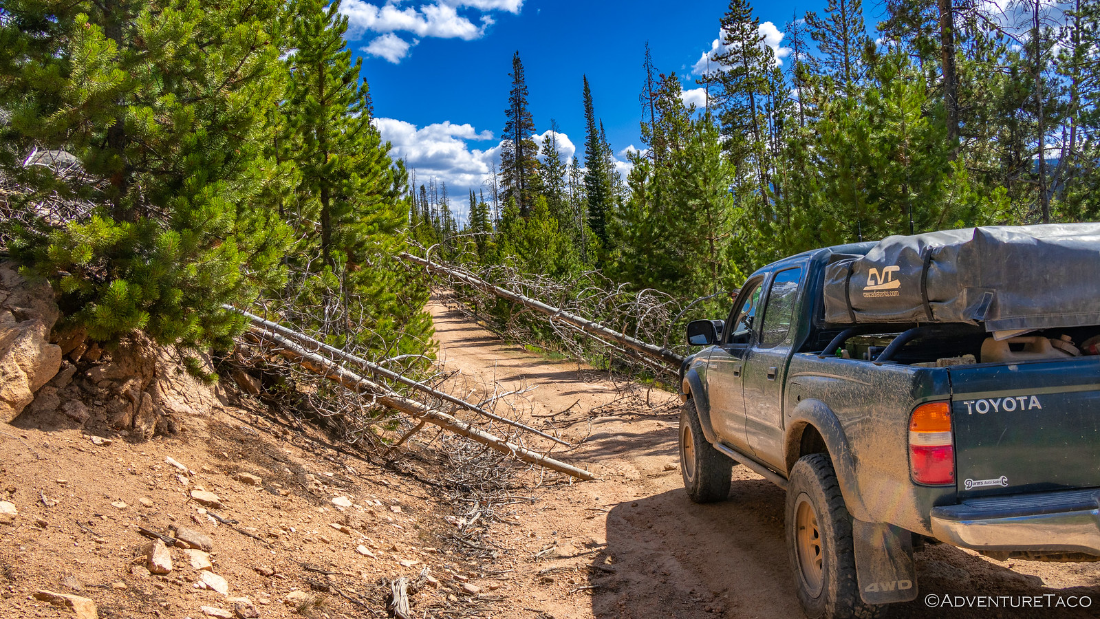
To this point, we'd been lucky in that all of the road clearing had been taken care of by earlier travelers along these routes over the course of the summer. But as we headed down a section of FS-499, Monte came over the radio to let us know that there was an obstacle in the road, and my chainsaw services would be required.

48834321431_fe1f5470df_h.jpg

That was just fine with me - so you can imagine my reaction when I approached to see Monte digging around in the back of his truck for his axe! I was having none of that - this was my time to have a bit of fun, and I calmly informed him that he was crazy when we had a chainsaw right here. :sawzall: A bit of back-and-forth banter about how it might only take a few minutes longer with the axe, and I reminded him that we could get some nice campfire rounds with the chainsaw should we choose to go that route.

Checkmate. I won, and we got to work as a team - me cutting up the tree and Monte throwing the rounds into the beds of the trucks. It was a symphony of motion which lasted all of about 10 minutes before the tree was cleared and we were ready to get on our way again.

48833950473_b91c669afc_h.jpg

Underway again, we continued on our generally westerly course, looping up toward Hog Park Reservoir where we found a beautiful little spot to have lunch. We - or at least I - had no idea at the time that we'd been through Colorado in order to get here, but it didn't matter because we were once again in Wyoming as we assembled our ham and turkey sandwiches and kicked back at the lake's edge, the long grass billowing in the breeze.

48834491217_efabf7be84_h.jpg


48834491037_a51a1ce76e_h.jpg


48834490922_4b93b92504_h.jpg


Don't miss the rest of the story, and all the remaining photos that don't fit here (due to max post size). Hopefully that can change in the future, but until then...

Keep reading the rest here
Redhead Down #3: We Cross into Colorado


.
 

thezentree

pretend redneck
Hey Turbo, did you add any additional seal to that thru-roof NMO antenna mount you've got? Or just rely on the o-ring on the outer nut?
 

turbodb

Well-known member
Hey Turbo, did you add any additional seal to that thru-roof NMO antenna mount you've got? Or just rely on the o-ring on the outer nut?
The NMO mount I used has an o-ring on the underside of the outside piece, and that seals everything up wonderfully once the inner nut is tightened.
 

turbodb

Well-known member
Redhead Down #4: Follow Me on the Trail, Not on the 'Gram
Night was chilly but not really cold, validating our move to a lower elevation camp site the evening before, and the sun quickly warmed camp in the morning as it rose over the Agnes Mountains.

48835399261_b25ff4f1cd_h.jpg

Happy to be a band of four again, and excited to get underway, we all set about our normal morning tasks, Mike @Digiratus now in what he'd call "good company," since Brett @Squeaky Penguin was also a coffee drinker. :pc-coffee: We also took the opportunity to add five gallons of fuel to our trucks - or at least, Monte @Blackdawg, Mike and I did - so we'd have enough to make it to our next fuel stop in Steamboat Springs. Then, in what was perhaps the earliest morning departure of the trip, we were off! It was just before 9:30am.

48835571787_d1fac64cea_h.jpg

With Brett in the caravan it was like having our own living Colorado almanac and guide, and we took full advantage of it. While Monte's planned track had us making a roundabout loop on the way to Steamboat Springs, Brett instead suggested that we skip that altogether and instead spend our time on a little offshoot that he knew about. That it led down to a stream he wanted to cast a line into was just a bonus, I'm sure. ?

It was of course fine with us - we had nowhere to be but out here in the woods - and we made our way through the beginnings of fall as we headed out FS-471 toward Big Creek.

48835571662_171d41f1cf_h.jpg


48835571412_de06af76a7_h.jpg

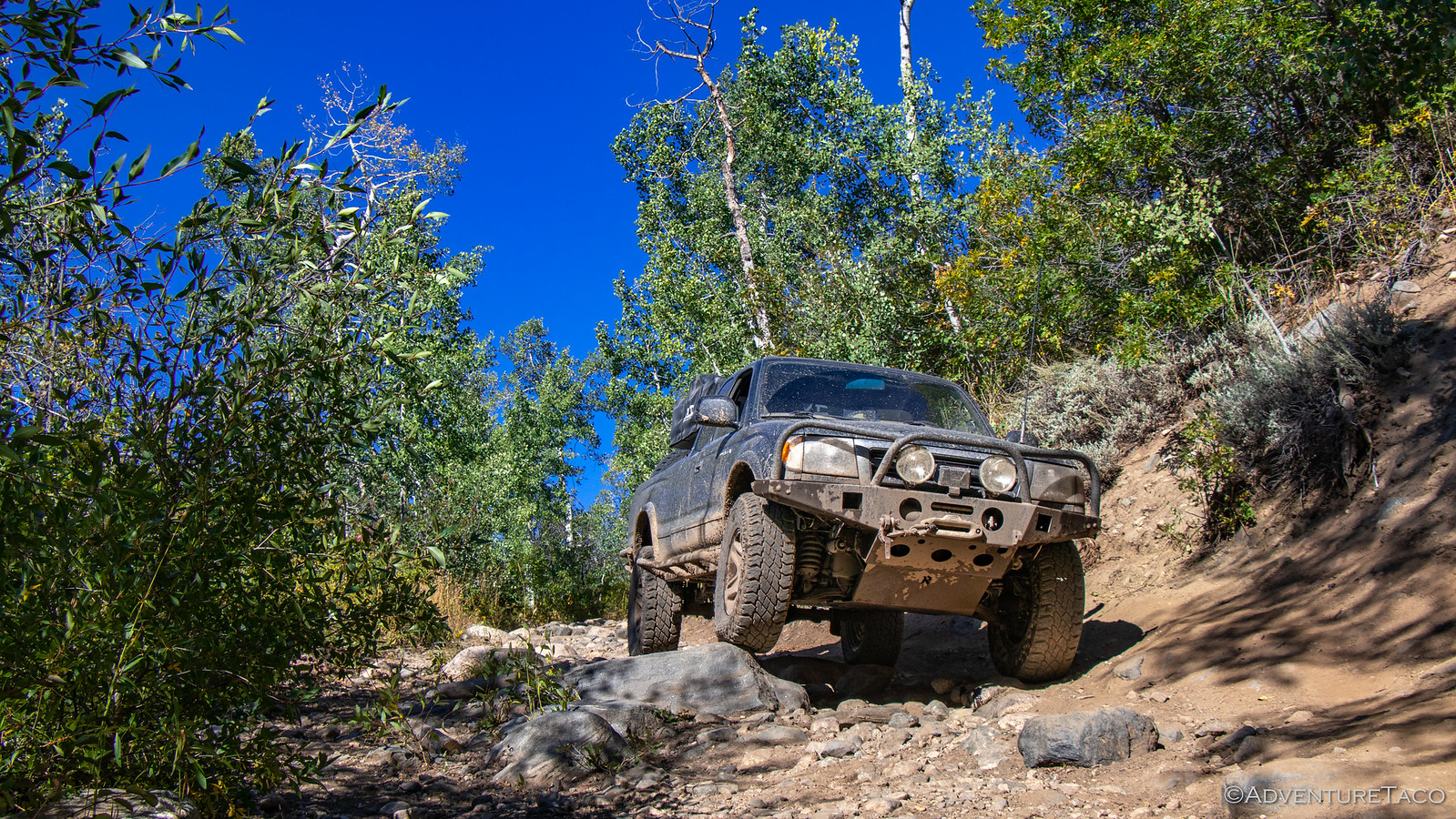
Most of the road was reasonably tame, but as we descended from the ridge down into the valley, we got a little taste of some fun terrain. We'd get plenty more of this as the days progressed, but for now it was one of our first stretches of rockier road, and I think we all appreciated it as we stepped our way down toward the river.

48835571292_da513f20f4_h.jpg

At the bottom, the road once again flattened out - a few whoops doing little to slow our progress, everyone either running reasonably good suspension or liking speed so much that they didn't really care if they got into their bump stops.

48835398376_526229066d_h.jpg

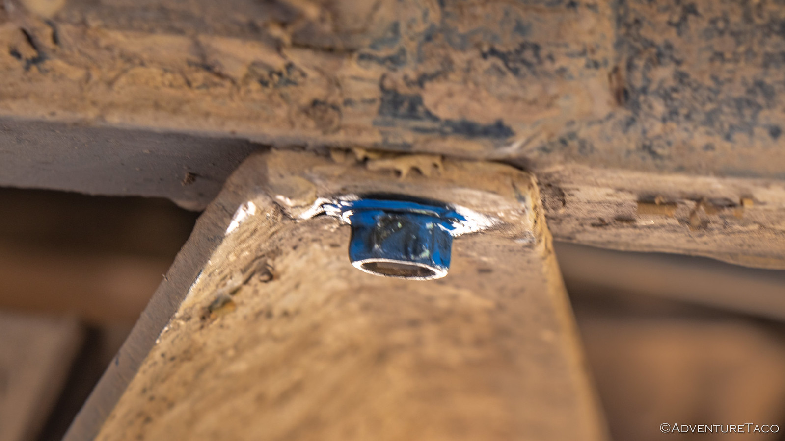
A mile or two of higher speed travel and we'd arrived at Brett's secret fishing hole. As he pulled out a rod and line, I set about extracting the Blue 242 Loctite from my kit so I could secure a troublesome bolt on my mid-skid plate that had been working itself loose the last couple of days. Ultimately, this wouldn't be a successful trail fix - I think because the threads on the frame were a little too loose for the Loctite to grab - but I figured it was worth a shot.

48835570762_ad00cf2ec6_h.jpg

My repair taken care of for the moment, Brett too was sort-of successful. While he didn't land anything large, he did pull in a smaller trout - and I'd call that a success!

48835570692_b2b8d8f797_h.jpg


Note: Not the actual trout, but a twin in length.

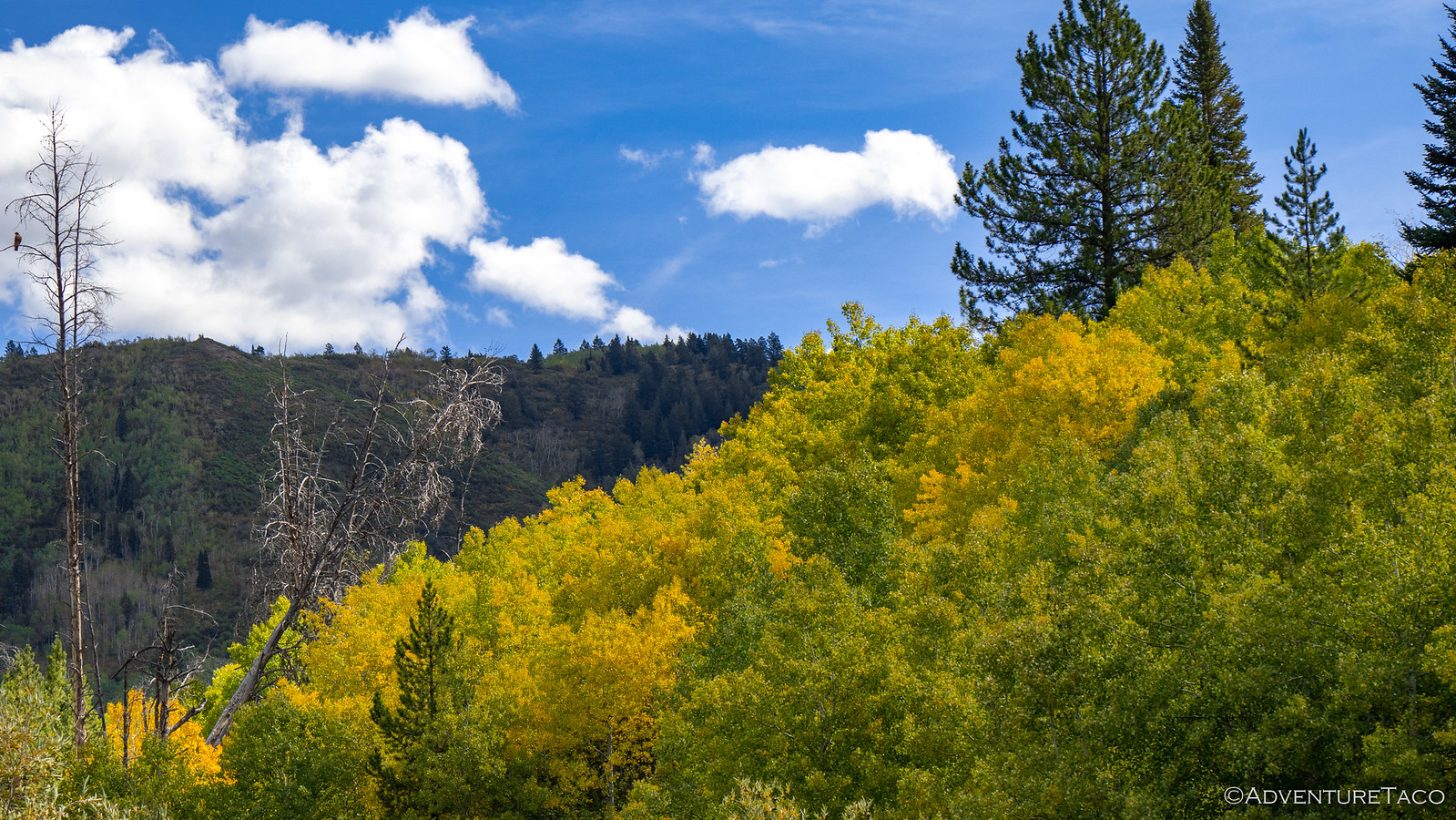
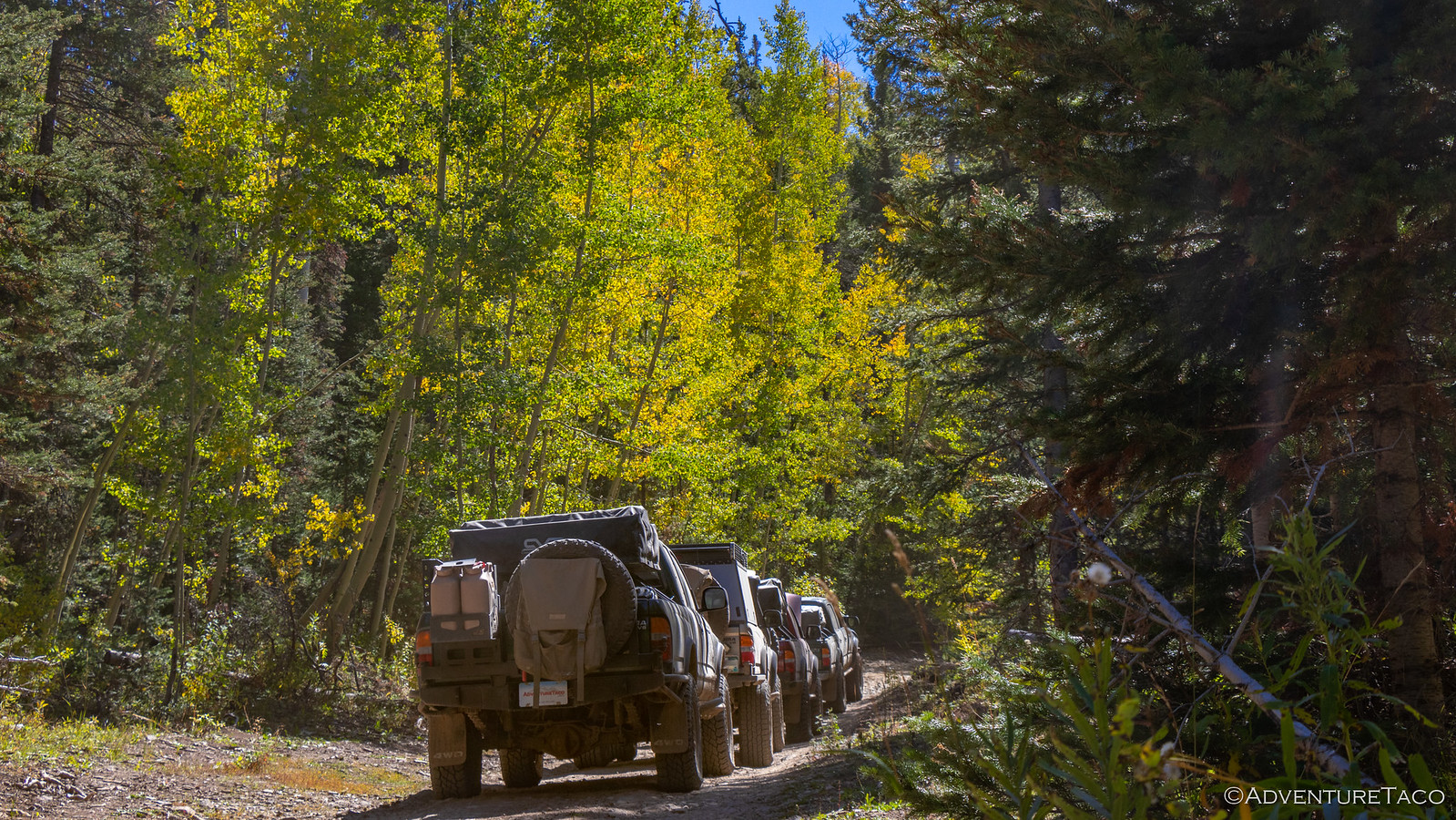
Our fishing detour complete, we headed back the way we'd come, the road that had been fun on the way down, just as fun on the way back up. We also got some nice Aspen color as we made our way back, each day seemingly turning the leaves a little more golden as summer's grasp on the landscape slowly slipped away.

48835026348_96250ae9c4_h.jpg


48835397606_eddf5f343a_h.jpg


48835025878_311f25ecc9_h.jpg

It was noon - or thereabouts - when we reached the end of the dirt road and were ready to pound pavement to Steamboat Springs. We'd planned to take the Colorado Backcountry Discovery Route (COBDR) at this point in order to keep ourselves on dirt, but our local guide insisted that we'd just be wasting our time - time that would be better spent at a taco joint in town. That was hard to argue with - even for three expert arguers - and so we proceeded to air up for the 30 mile jaunt into town.

48835397286_f84b3f4c63_h.jpg


48835025583_b3c9a666cc_h.jpg

Steamboat Springs it turns out is a nice little tourist town with a population of 15,000 residents or so. At an elevation of 6,700', it's clear that there's lots of year-round recreation, and there's a bustle in the a historic downtown that makes the place feel fun. Not to mention - driving through town it's impossible to miss the olympic ski jump on the hillside overlooking the community - something that's got to be a lot of fun during the winter and is part of an 80-year Olympian tradition. All with the free-flowing Yampa River running right through the heart of the town makes for a seriously cool place to live. It's probably going to be hard to pull Brett out of this place.

48835397071_4d1487f455_h.jpg

Our destination was a hip joint named Taco Cabo, and while the food was tasty, it was clear to me that the hipness of the town had influenced the prices just a tad - my carne asada burrito setting me back right around $14! Next time - and for anyone who finds themselves here - I'd recommend the carne asada torta, a Mexican sandwich that looked amazing (and at the same price, like a bit better deal) when I saw it on the table next to us.

48835396986_88924520ca_o.jpg

Unfortunately, while we were enjoying our lunch, Brett wasn't feeling well and bid us farewell for a few hours so he could head home and catch a short nap. That actually worked out quite well for the rest of us - we needed to fill up on fuel, and do some restocking at the grocery store. After all, we needed to stay flush with avocados - and the guacamole we'd become addicted to at night. Oh, and we had to make one more pit stop - Advance Auto Parts for some power steering fluid - after Monte discovered that he was over a quart low when his steering started acting up! :eek:

48835569542_c74c0b27c4_h.jpg

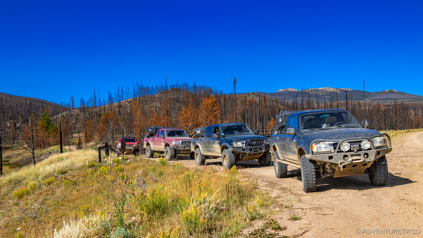
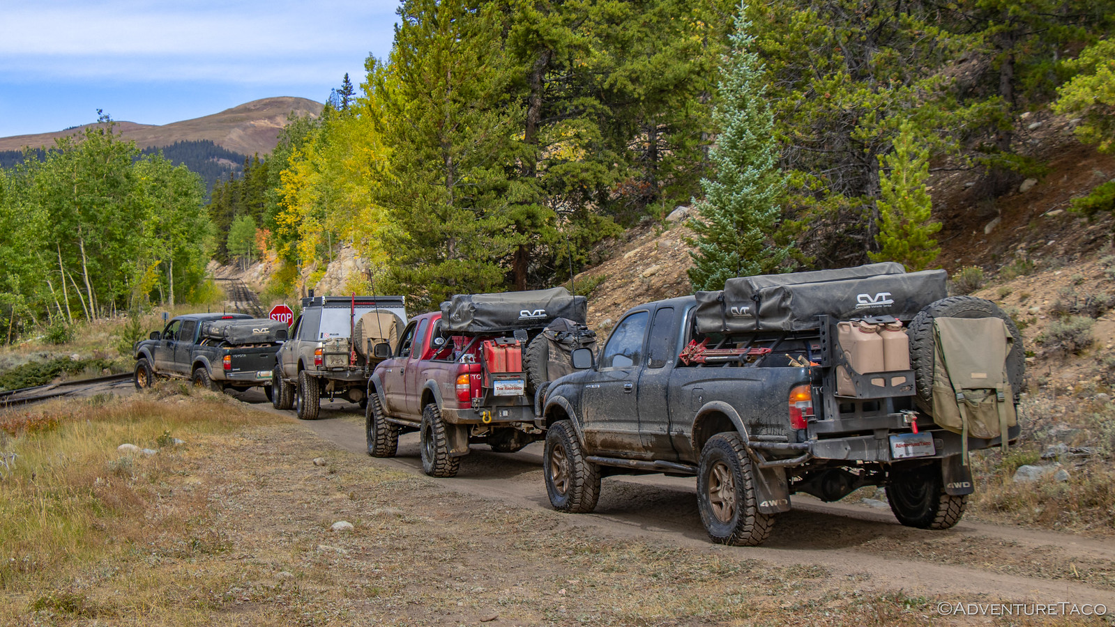
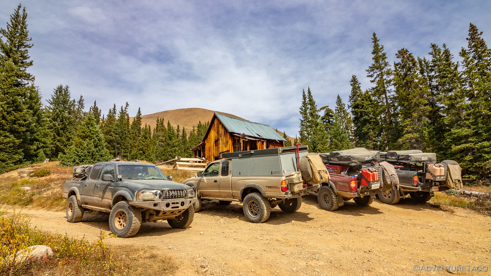
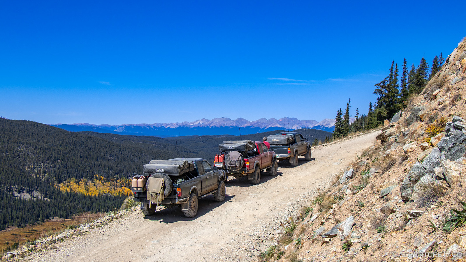
Everything taken care of and Brett feeling well enough to re-join us, we headed south out of town, the highway weaving its way through the foothills, our four 1st gen Tacomas, their usual bad-ass selves, eyes turning as we drove by.

48835396866_976cd20a2c_h.jpg

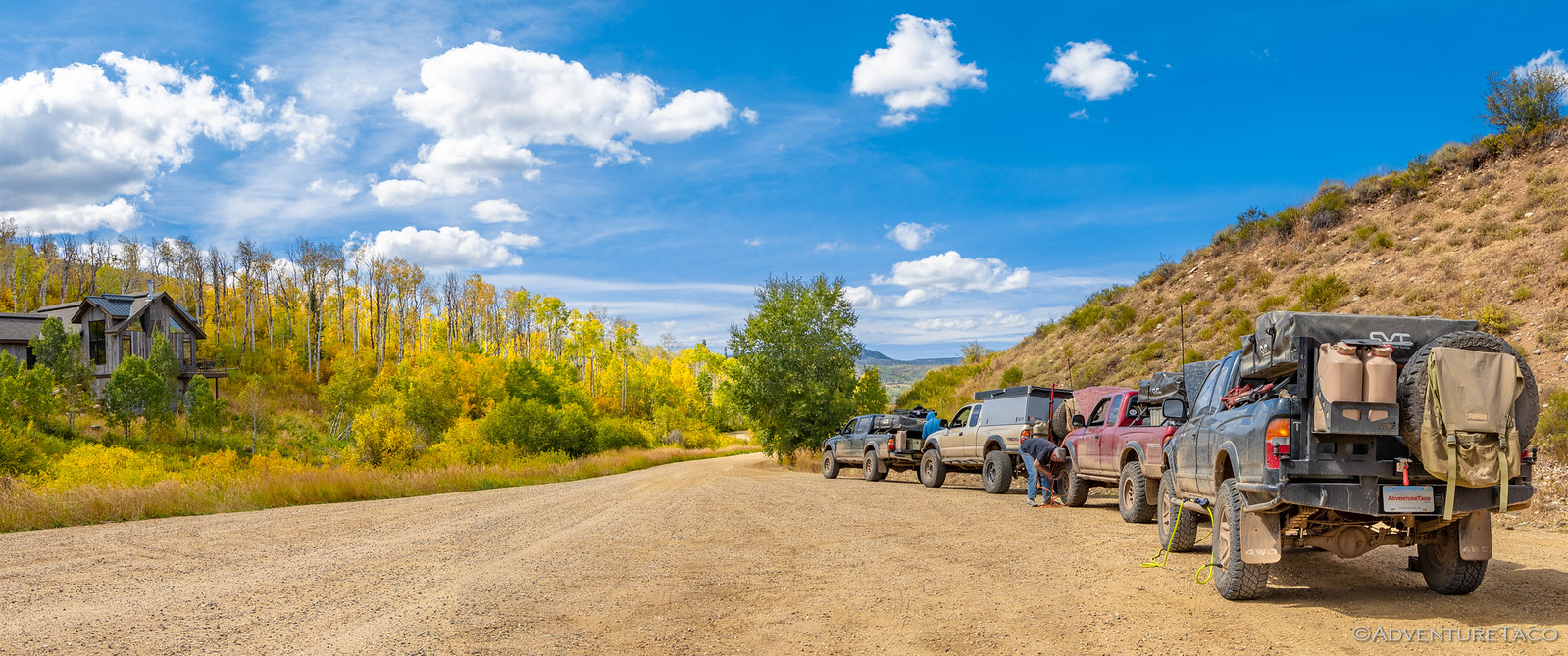
With the 30 miles or so we'd done before lunch, and the 30 or so we had to do here, airing up had been a good call. But, as always, we were happy when we hit dirt once again on FS-100 - the joy of slower travel and new sights always winning over the opportunity for better mpgs. Having spent much of the afternoon in town, it was already 4:00pm in the afternoon, and so the discussion as we aired down was about how far we wanted to make it for the evening. Of course, our original destination - whatever that was - had long been cast aside, and ultimately we decided that we'd just start looking for something that seemed reasonable as the afternoon turned to evening. And with that, we were on our way!

48835396726_f20f3ba26f_h.jpg

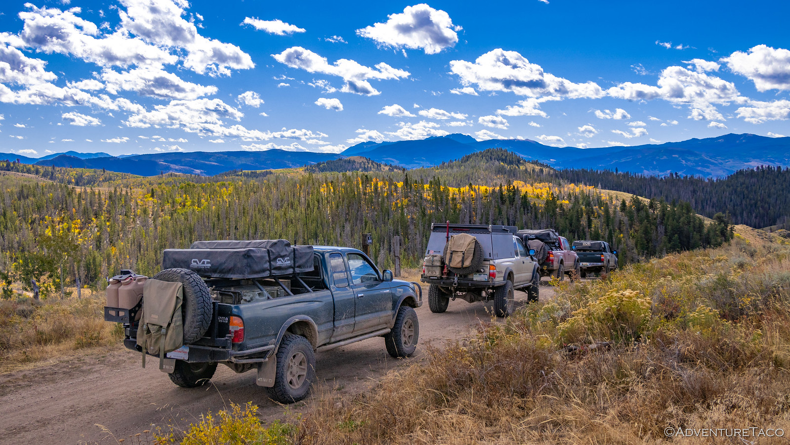
One of the great things about this group is that the trip really is the destination. We never care all that much if we're on time or on track; it's no problem if at the end of the day we've traveled twice - ok, that's never happened - or half the distance we planned just a few hours earlier. And so it was this afternoon. The miles ticked away, but we stopped frequently to get out and enjoy the surroundings. After all, to speed through them would be to miss exactly what we'd come to enjoy - the time together in a beautiful place.


Don't miss the rest of the story, and all the remaining photos that don't fit here (due to max post size). Hopefully that can change in the future, but until then...


.
 

thezentree

pretend redneck
The NMO mount I used has an o-ring on the underside of the outside piece, and that seals everything up wonderfully once the inner nut is tightened.

Thanks, I actually ordered the same one you've got based on your write-up. Glad you hear you've not had issues with leaking since I'm as apprehensive as you are about drilling holes in the roof. :ROFLMAO:
 

turbodb

Well-known member
Redhead Down #5: The Race
Everyone was up around about the usual time, our spot in the trees giving us a bit more shade than normal, but also helping to keep the frost at bay during the night. As everyone made breakfast, I headed over and asked Mike @Digiratus one of the strangest questions I think I've ever asked.

Did you bring your toothbrush charger?

See, for the first time ever, I brought my Sonicare toothbrush, knowing that I'd be away from home for over two weeks, and that my teeth just felt better when I used it. Anyway, it turns out that he had brought his charger and was happy to let me borrow it.

There was only one problem. His charger had some wonky pin on the platform - probably some change that Philips made in order to prompt new purchases. Undeterred, I figured I could outsmart those marketers.


Unfortunately, it turns out I was not smarter than the marketers - or at least their engineers. Even after charging all day, the toothbrush must have been just a little too far from the inductive charger - because even though the charging light flashed, it was still dead when I used it that evening!

Anyway, with my toothbrush plugged in and not charging, we headed out of camp around 10:15am, excited to get another bunch of miles under our belts. We weren't driving to the top of any spectacular Colorado peaks today, but our travels would take us to the precipice of what we'd come to this state to experience - 14,000' mountains rising up out of 10,000' ranges.


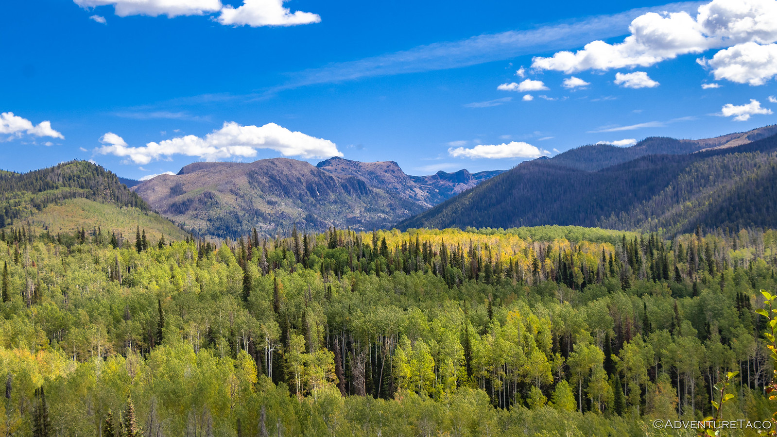
We continued along the route we'd started the evening before, winding our way south along FS-242 towards Radium Springs. As we did, one thing was for certain - the further south we went, the more colorful the Aspen seemed to be. This was a bit surprising to all of us - our assumption that colder temps up north would result in the color moving from north-to-south - but we weren't complaining. Quite the opposite; we stopped to take it all in.


Even Brett @Squeaky Penguin got out of his truck. I mean, as much as he does. ? This clearly was not one of the three* photos that would make up his detailed trip report.

<p style="font-size: .75em;">* a later declaration by the man himself increased this number to six, I believe.</p>


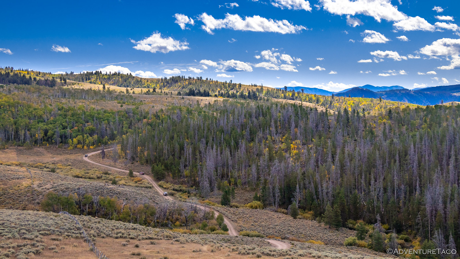
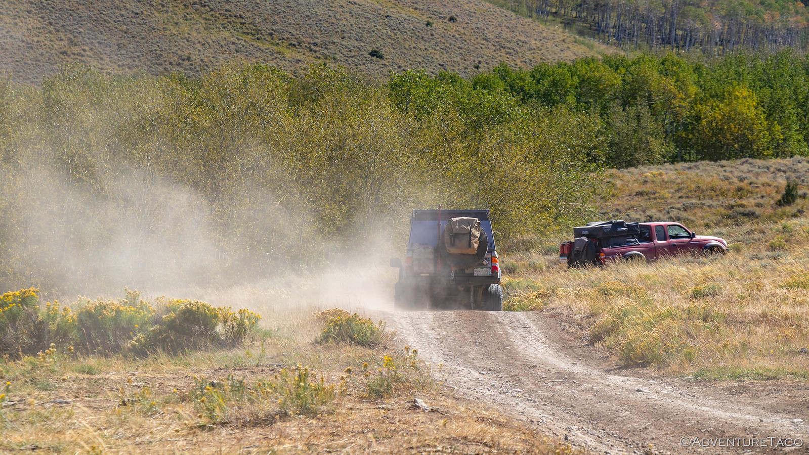
As the miles ticked away behind us, the road continued to zig and zag - up and over a hillside, through forests and meadows - our trucks like tiny ants along the path, trails of dust visible in the distance as the sun shown down through the billowy clouds.


Leading the way, Monte @Blackdawg would periodically pipe up over the CB or Ham - I don't recall which we were using at this point - to let us know of oncoming traffic or other notable things for us to be aware of as we followed at a distance to keep the incoming dust to a minimum. So, when he called out a "white Ford" parked on the side of the road with a couple people standing nearby, none of us really gave it a second thought.

That is, until we pulled up behind him to see two uniformed women chatting and laughing with him - they were a couple of game wardens!


Curious what we were up to, they of course assumed that we'd been out hunting and were going to check our licenses when they saw us coming down the hill. Naturally, we didn't have - or need - any, and Monte let them know that we were just out camping and driving around in our ************ rigs.

And that's when the laughing started. "Hey, you guys are all in Toyotas!?" one of them said. "I think my husband follows you on one of those forums."

<p style="text-align: center; font-size: 1.75em;">Guilty. As. Charged. :anonymous:</p>

Anyway, a bit more ********-chat and we were on our way - the radio chatter quick to poke fun at Monte for flirting with the "cute" wardens; something none of us could actually know for sure, given that we couldn't hear a word that was said. That of course spawned an argument about which warden was the cuter one, and whether she was the one with the gun or not.

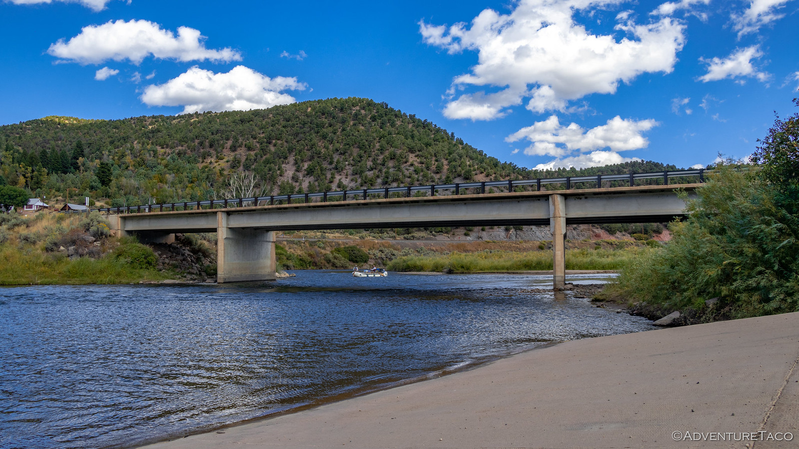
With that, we completed our final descent into Radium Hot Springs along the Colorado River and took a few minutes to admire the water as it rushed by with rafters in tow.


A quick restroom break, some snacks, and a bit more ********-chat were all that kept us from getting back in our trucks immediately. But eventually it was time to set off again - now in search of a place to have lunch. Ultimately that wouldn't happen - with some entertainment - for another couple hours, though we initially planned for it to be much sooner.


Still headed south, our sights were set on a short - couple mile - side trip up to Cottonwood Peak. Still in the distance, it rose up above the surrounding hills, surely a great place to get a look around.


Along the way we passed hunters camped here and there - each of the spots we thought might be a nice place to eat lunch, already occupied. Ever closer, Cottonwood Peak in the background.


Eventually it was clear that we simply weren't going to find a good place to eat down in the lowlands, and we started our ascent up the side of Cottonwood itself. The views as we climbed were incredible - the colors around us, the rock faces on one side, and expansive views to the other were exactly the reason we're always stopping every few hundred feet.


Don't miss the rest of the story, and all the remaining photos that don't fit here (due to max post size). Hopefully that can change in the future, but until then...

Keep reading the rest here
Redhead Down #5: The Race


.
 

turbodb

Well-known member
Redhead Down #6: Chihuahua, Webster, Red Cone and Radical!
As it seems many of our nights in Colorado were, this one was a cold one. Camped at 10,400', that was probably to be expected, but I didn't expect my packaged of baby wipes to be frozen in the morning, and my morning clean-up wasn't a pleasant experience given that they were. :eek:

But the elevation did make for a nice sky at sunrise - for that, I was grateful.

48840636171_56578b49a6_h.jpg

And, with another day - or morning as it'd turn out - of clear blue skies above, it didn't take long for the sun to warm camp up enough that we all ventured out of our tents to greet the new day.

48840809697_e2373996fd_h.jpg

48840638896_92232a4a61_h.jpg

48840811237_0a8ebef113_h.jpg

In fact, this was the day we'd all been waiting for - it was the first day (of many, we hoped) that we'd really experience the grandeur of Colorado's mountains. And, it was the first day that we'd get some technical wheeling under our tires.

Eager to get underway, we made quick work of breakfast and breakdown of camp, and soon we were on the road - our camp site only a few hundred yards from the first short trail we were tackling on the day: Chihuahua Gulch.

48840272613_47d8542024_h.jpg

Chihuahua Gluch is a short and enjoyable trail that climbs into and then through a valley below two of Colorado's 14,000-ft peaks - Grays and Torreys Peak. As we broke through the dense treeline into the valley, I remarked over the CB that I probably hadn't needed to stop a few hundred feet downhill to take a bunch of photos!

48840813112_18344d3713_h.jpg

48840642766_63be248a40_h.jpg

At just over two miles each way, though the trail is a relatively short one, the scenery does not disappoint - packing a lot into that short distance. And the trail itself is fun too - the terrain varied, offering flexy sections, rocks, and even several easy water crossings.

48840644326_ce9a48cfb4_h.jpg

48840278053_a8ef70d493_h.jpg

48840279998_43b540dd44_h.jpg

We reached the end relatively quickly and after a few minutes saying hi to hikers who were on their way to bag a "14er" or two, we got our rigs turned around and headed back the way we'd come, our next destination just a few miles up the main road.

We arrived at the Pennsylvania Mine to a lot full of cars, but were pleasantly surprised to find that we were - for the moment - the only people exploring the mine; everyone else off on a hike or other adventure, leaving us in peace.

48840281198_a93a499c1b_h.jpg

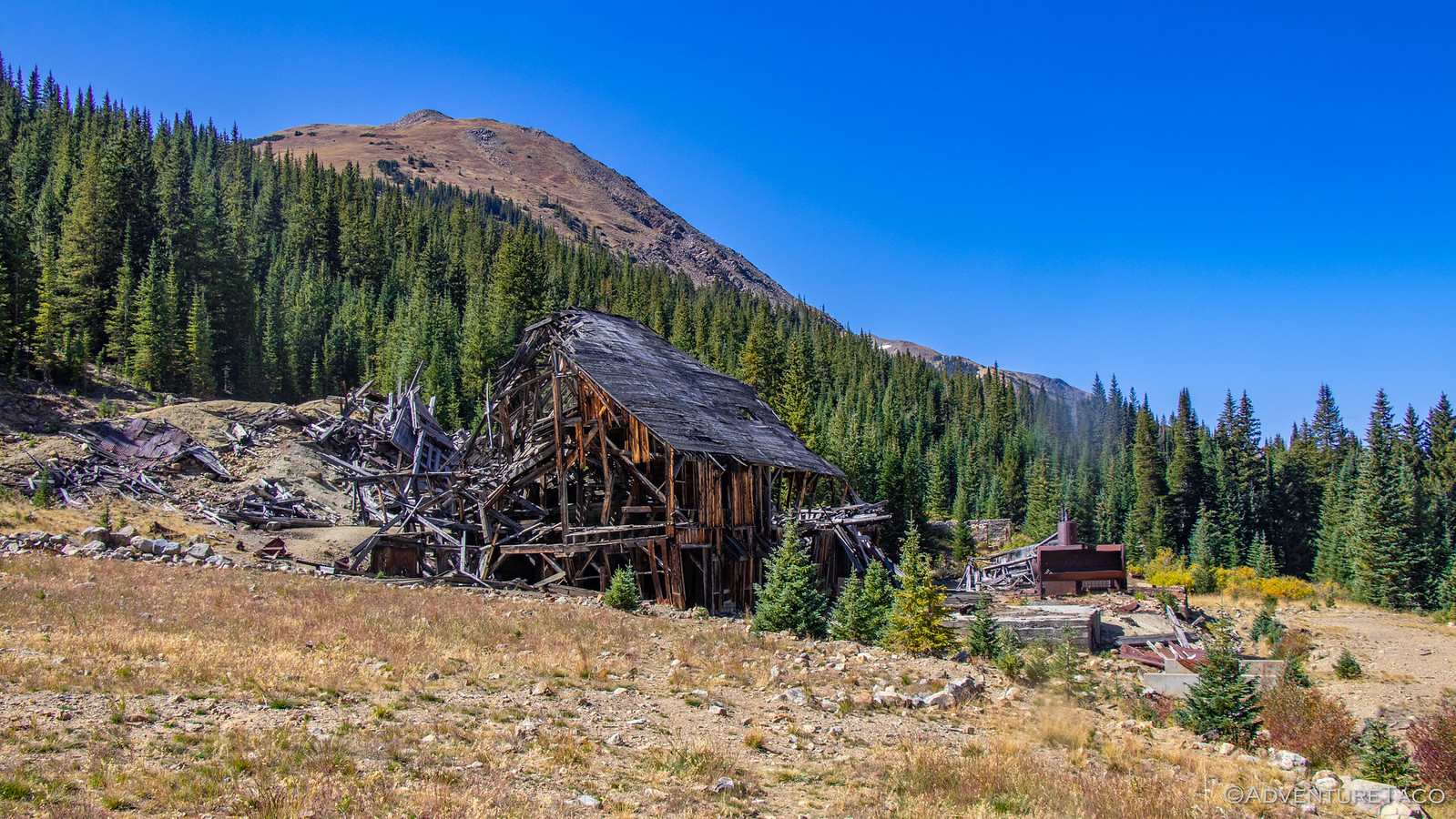
This mine was a rich producer of gold and silver in Colorado, it's best year occurring in 1893 - the year of the great silver crash. It continued to operate through the crash, producing $3,000,000 in earnings between 1893 and 1898. A major source of pollution for the water in nearby Peru Creek, several cleanup efforts have occurred over the years and are now complete. (from Funtreks Guide to Colorado Backroads & 4-Wheel-Drive Trails)

48840282653_52b5a24360_h.jpg

48840651976_7b1aa5ddf1_h.jpg

48840825867_c740f8ce8d_h.jpg

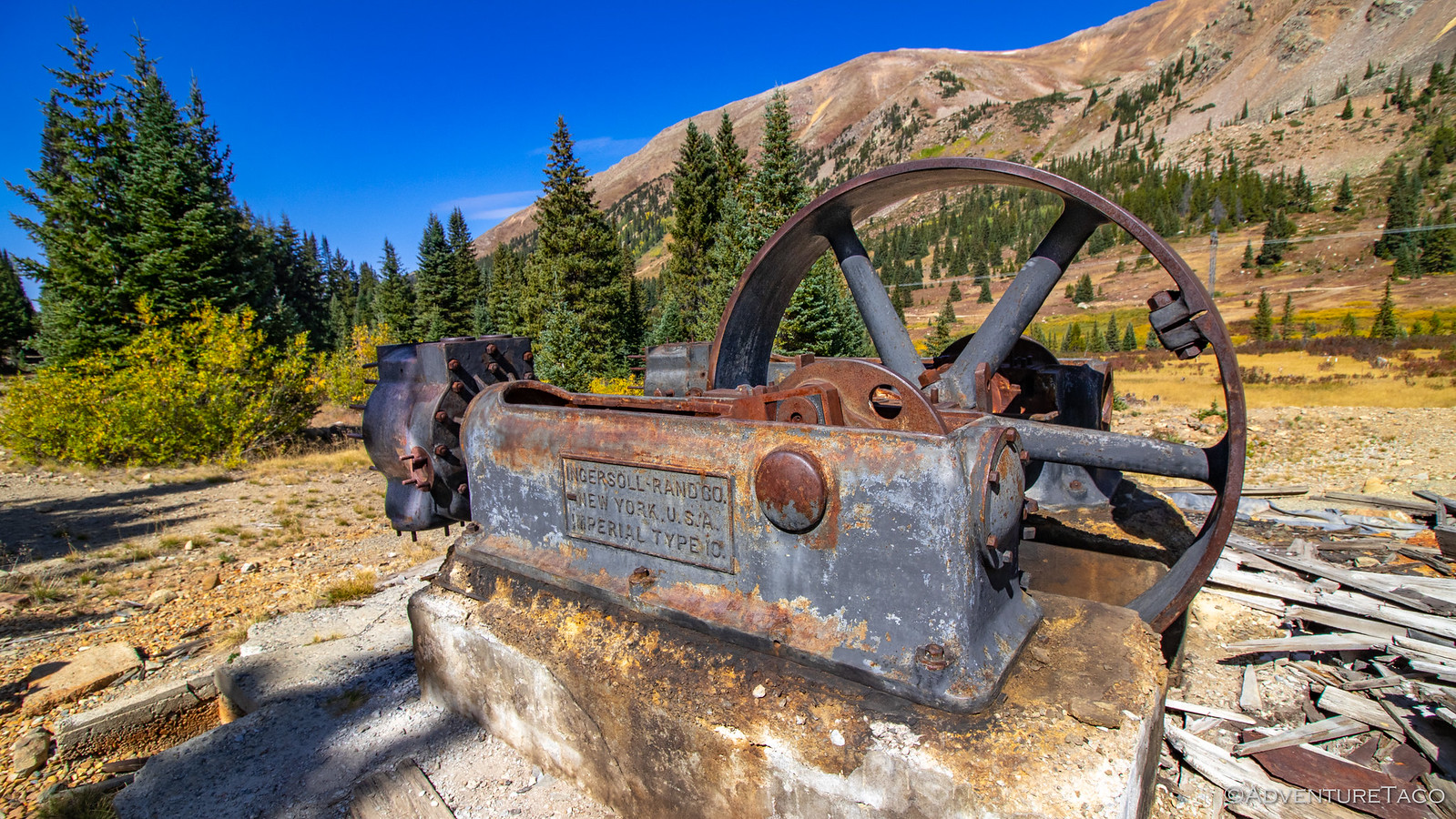
Not only was the mill still in remarkably good condition for its close proximity to a major road and lots of human traffic, but there were tons of cool old artifacts to check out as well. The boilers made of 1" thick steel - a little cattywampus, the smelter - ready to melt silver for bars, and two old pistons that powered a huge drive belt - relics from Ingersol Rand.

48840826922_615073e2c3_h.jpg

48840828117_d8d460a041_h.jpg

48840829577_f385ae8ee5_h.jpg

48840289703_c7bf71681b_h.jpg

It took us a while to get our fill of these ruins, but eventually we pulled ourselves back to the trucks that were biding their time in the parking area, like cats ready to pounce.


Don't miss the rest of the story, and all the remaining photos that don't fit here (due to max post size). Hopefully that can change in the future, but until then...


.
 

Hourless Life

Well-known member
Redhead Down #6: Chihuahua, Webster, Red Cone and Radical!
As it seems many of our nights in Colorado were, this one was a cold one. Camped at 10,400', that was probably to be expected, but I didn't expect my packaged of baby wipes to be frozen in the morning, and my morning clean-up wasn't a pleasant experience given that they were. :eek:

But the elevation did make for a nice sky at sunrise - for that, I was grateful.

48840636171_56578b49a6_h.jpg

And, with another day - or morning as it'd turn out - of clear blue skies above, it didn't take long for the sun to warm camp up enough that we all ventured out of our tents to greet the new day.

48840809697_e2373996fd_h.jpg


48840638896_92232a4a61_h.jpg


48840811237_0a8ebef113_h.jpg

In fact, this was the day we'd all been waiting for - it was the first day (of many, we hoped) that we'd really experience the grandeur of Colorado's mountains. And, it was the first day that we'd get some technical wheeling under our tires.

Eager to get underway, we made quick work of breakfast and breakdown of camp, and soon we were on the road - our camp site only a few hundred yards from the first short trail we were tackling on the day: Chihuahua Gulch.

48840272613_47d8542024_h.jpg

Chihuahua Gluch is a short and enjoyable trail that climbs into and then through a valley below two of Colorado's 14,000-ft peaks - Grays and Torreys Peak. As we broke through the dense treeline into the valley, I remarked over the CB that I probably hadn't needed to stop a few hundred feet downhill to take a bunch of photos!

48840813112_18344d3713_h.jpg


48840642766_63be248a40_h.jpg

At just over two miles each way, though the trail is a relatively short one, the scenery does not disappoint - packing a lot into that short distance. And the trail itself is fun too - the terrain varied, offering flexy sections, rocks, and even several easy water crossings.

48840644326_ce9a48cfb4_h.jpg


48840278053_a8ef70d493_h.jpg


48840279998_43b540dd44_h.jpg

We reached the end relatively quickly and after a few minutes saying hi to hikers who were on their way to bag a "14er" or two, we got our rigs turned around and headed back the way we'd come, our next destination just a few miles up the main road.

We arrived at the Pennsylvania Mine to a lot full of cars, but were pleasantly surprised to find that we were - for the moment - the only people exploring the mine; everyone else off on a hike or other adventure, leaving us in peace.

48840281198_a93a499c1b_h.jpg

This mine was a rich producer of gold and silver in Colorado, it's best year occurring in 1893 - the year of the great silver crash. It continued to operate through the crash, producing $3,000,000 in earnings between 1893 and 1898. A major source of pollution for the water in nearby Peru Creek, several cleanup efforts have occurred over the years and are now complete. (from Funtreks Guide to Colorado Backroads & 4-Wheel-Drive Trails)

48840282653_52b5a24360_h.jpg


48840651976_7b1aa5ddf1_h.jpg


48840825867_c740f8ce8d_h.jpg

Not only was the mill still in remarkably good condition for its close proximity to a major road and lots of human traffic, but there were tons of cool old artifacts to check out as well. The boilers made of 1" thick steel - a little cattywampus, the smelter - ready to melt silver for bars, and two old pistons that powered a huge drive belt - relics from Ingersol Rand.

48840826922_615073e2c3_h.jpg


48840828117_d8d460a041_h.jpg


48840829577_f385ae8ee5_h.jpg


48840289703_c7bf71681b_h.jpg

It took us a while to get our fill of these ruins, but eventually we pulled ourselves back to the trucks that were biding their time in the parking area, like cats ready to pounce.


Don't miss the rest of the story, and all the remaining photos that don't fit here (due to max post size). Hopefully that can change in the future, but until then...


.
Always a great read my friend. Thank you for sharing your thoughts not only visually but with your descriptive words that have us right there with you. ~ Eric
 

turbodb

Well-known member
Redhead Down #7: The Day We Made a Bench

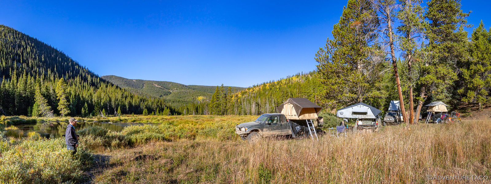
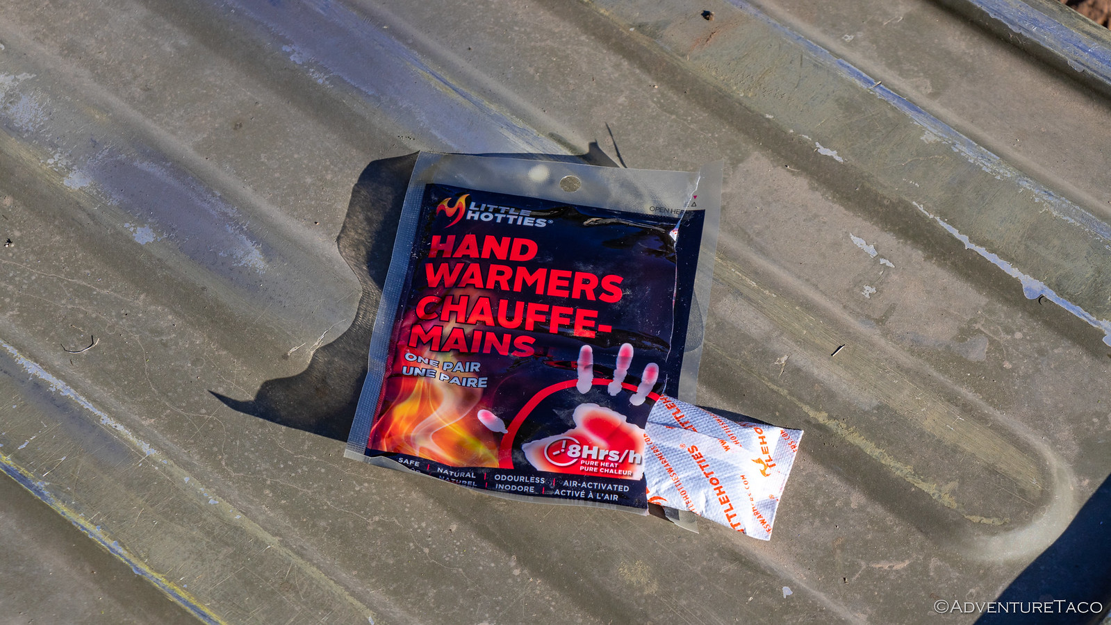
Without a fire, it was another cold night and I was glad for my Little Hotties, their 8-hour life just long enough to keep my toes toasty until it was time to get up. And - at least for me - toasty toes are a key factor to the rest of my body being warm through the night, so I slept soundly as the surface of the beaver pond we'd parked by froze over night.

48843841048_90104701dc_h.jpg


48844211526_83bb3fc975_h.jpg


48844392037_f5a21c20d5_h.jpg

Of course, as the sun rose to our east - it's warmth streaming down on our camp - we all ventured out of our cocoons to check out camp and start our new day. Mike @Digiratus got started on his coffee, Monte @Blackdawg and I made our usual morning photo rounds, and Brett @Squeaky Penguin got right down to work with his fly rod. It was another fun morning!

48843840198_a295a48542_h.jpg


48844210661_c3133d9e6a_h.jpg


48844391272_dfbf9fe9c3_h.jpg

Our plan for the day - though not as ambitious as the last - was going to have us traversing some reasonably cool passes, and hitting up a fancy spot for lunch, we set about breakfast and were ready to get out of camp an hour or so after climbing down our ladders. The cold night had done nothing to reduce the dusty conditions, our liberal use of skinny pedals kicking up the find powder as we sped up the road. We were on our way to Georgia Pass.

48844210246_2d589e864e_h.jpg

One of three passes over the Continental Divide in Summit County, Georgia Pass is well traveled - but not as well traveled as the other two routes. One - Webster Pass - we'd done the day before, and the other - Boreas Pass - was next on our list. It turns out that because Georgia is less difficult than Webster, and more difficult than Boreas, it simply doesn't appeal to either the hard core offroaders or the city slickers, and that meant that as we climbed the pass from the north, we had it mostly to ourselves!

48843839173_0e5854a172_h.jpg


48843838898_3d3b473cbd_h.jpg

Georgia Pass wasn't always so sparsely traveled. It once served as the primary route into the Swan and Blue river valleys for gold-hungry miners with as many as 200 prospectors a day flooding over the pass - then called Swan River Pass - into the boom towns of Parkville, Swandyke, and Tiger. No trace remains of these once vibrant towns except for a few ruins in Swandyke, since Parkville was buried by river dredges in the 1880s, and Tiger was intentionally burned to the ground by the Forest Service in the 1970s to "rid the area of squatters." By the 1880s, Boreas and Hoosier passes had become easier and more civilized routes and Georgia Pass was all but abandoned.

Today, a sign informing travelers of the Continental Divide decorates the summit - dropping a bit of knowledge on passing visitors.

48844390632_e6bd9c13a4_h.jpg


48843838543_372cddf086_h.jpg

The trip along - and for us down - the southern flank of Georgia Pass is much easier than the north, and we reached some reasonably high speeds as we slalomed down the well graded gravel road. As we did, Mount Guyot rose in the front of us, it's two-tone ridge striking above the green tress and against the blue sky.

48844209346_478f484f71_h.jpg

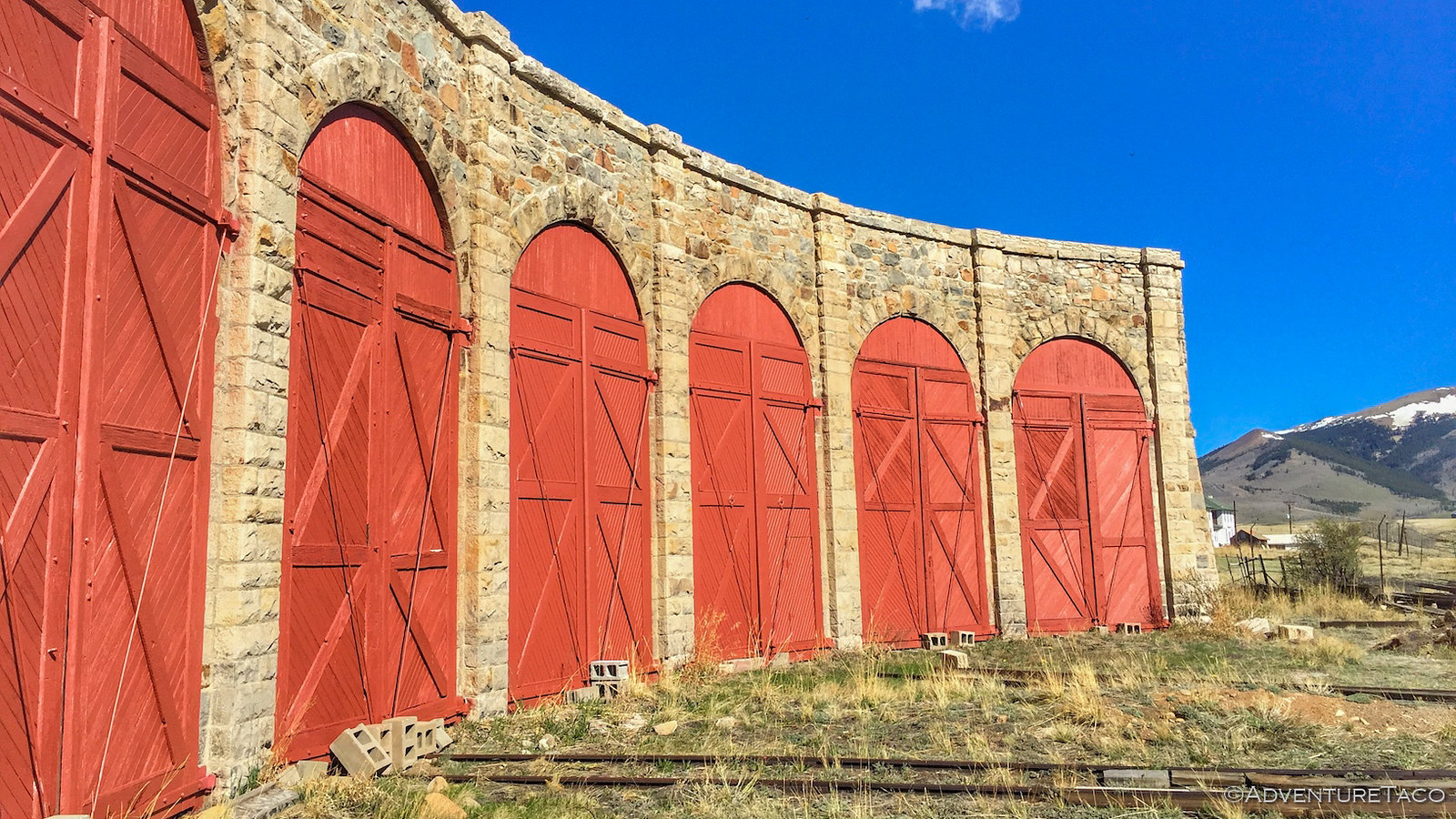
Racing to catch up after a few stops for photos, I finally caught the trailing dust as we approached the tiny town of Como, CO. Formed in 1879,it was the location of a train depot for the Denver, South Park, and Pacific Railroad to reach the silver mines in the area. It was striking as we drove through, how many of the old structures seemed to remain - an old roundhouse - notable among them.

48844389887_16fc988ee8_h.jpg

If we'd stopped, we probably could have spent a good chunk of time in Como - several of the houses painted vibrant colors that would have been the subject of our cameras, several other historic buildings worth a look. But that would be left for another day - today we had plenty to keep us busy, and a lunch date to keep in our next "town." Between us and that lunch date was Boreas Pass - the pass an astute reader may recall as the easiest one over the Continental Divide.

Things started off smoothly enough as we climbed Boreas from the south - traffic was light, the road was smooth, and the miles fell away behind us as we climbed toward the tree line.

48843837983_d803945f02_h.jpg

But then - about halfway up - things changed. First, we caught up to a single vehicle; then two. Before long, we were the last four travelers in a string of cars and trucks nearly 20 strong. And we were going slow. This of course was somewhat understandable - I mean, how fast is a Tesla, really? The bigger problem for us was that - while we wanted to, and could, go faster - everyone else seemed content to make their way slowly along, diving in the dead center of what was clearly a 2 lane road. It was frustrating to say the least, though it did give me time - as the last one in line - to stop and take leisurely photos of our approach. Ultimately we did reach the top, but as soon as we did - and all of the cars pulled over to explore the artifacts there - we pressed our skinny pedals to the floor, trying to jump out in front.

48844208651_42284adbfd_h.jpg

Our strategy worked for about 3 minutes. As you can imagine if you give it just a little bit of though - the parade of vehicles on this road is rather constant. So, while we may have skipped ahead of the 11:00am crowd, we still had the 10:45am folks to contend with as we descended the north side of the pass. And probably the 10:30am and 10:15am groups in front of them. Needless to say, it was slow going, and there may have been some frustrated venting by certain members of our group when the city-folk weren't the most astute drivers in this environment. :censored:

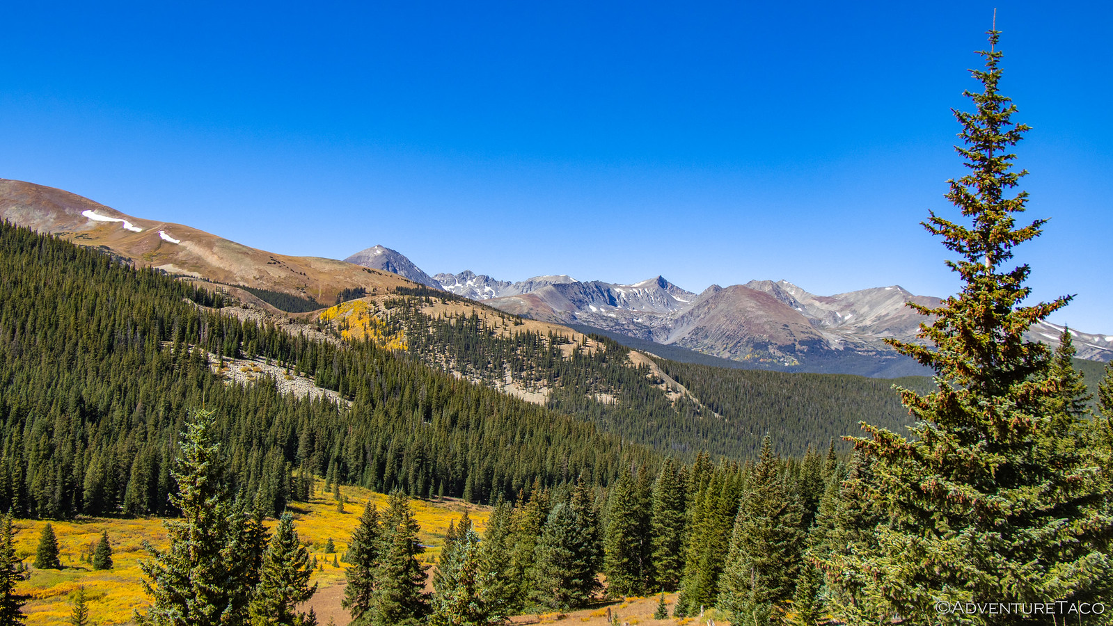
Still in the back of the pack - and frankly hanging back a little extra to stay out of the dust - I continued to stop frequently to try to capture the beauty this place had to offer, even as its crowds frustrated those used to travelling faster. Because it was definitely turning to fall, and the colors were amazing!

48844208326_aa3760cfae_h.jpg

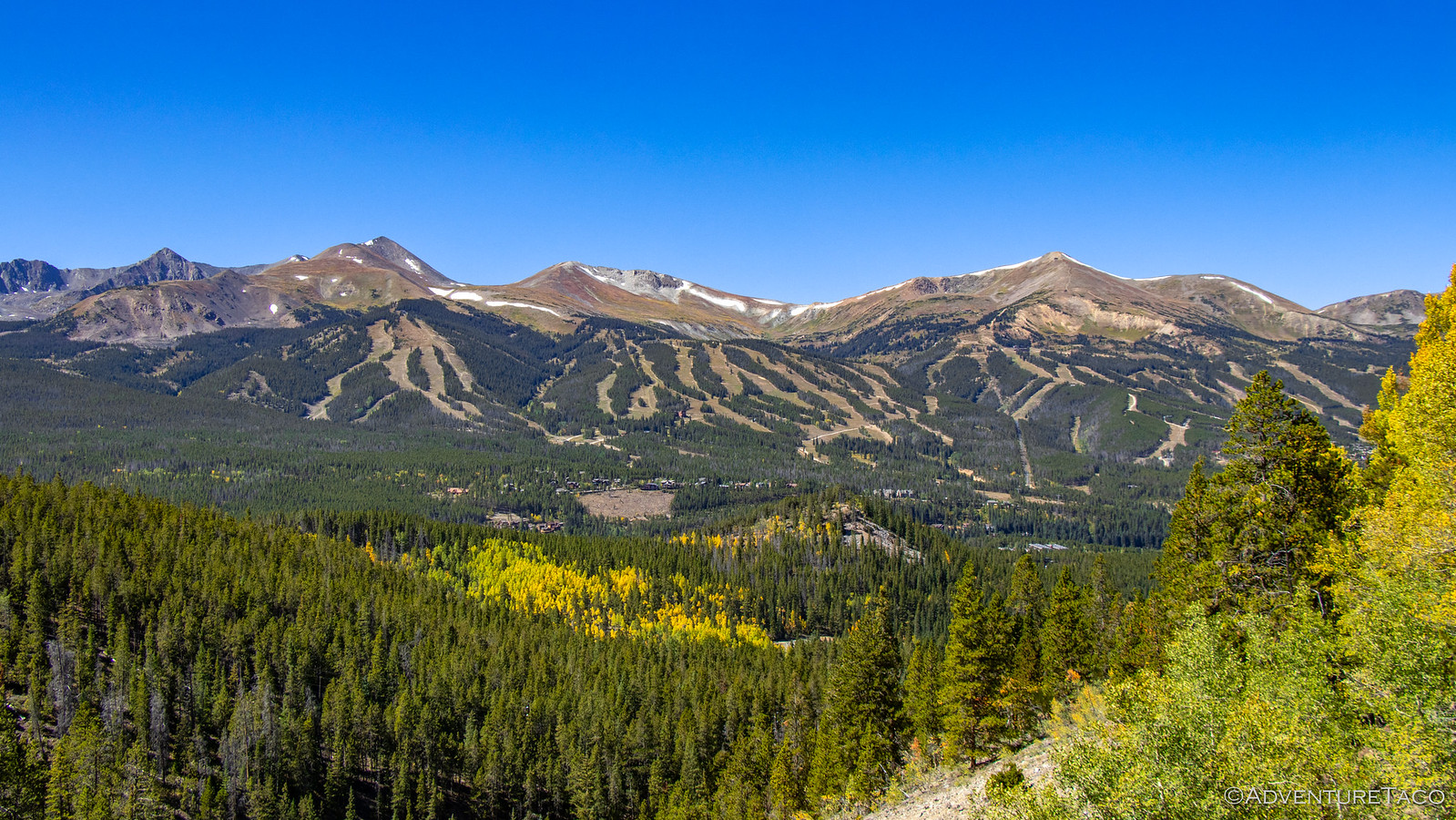
Half an hour later, we found ourselves pulling into Breckenridge - the ski slopes bare for the time being, but the town still hopping with summer tourists. Here, we fueled up and then scrambled for free parking so we could enjoy the lunch date we'd decided on the evening before: The Breckenridge Brewery.

48843837138_2c6d033464_h.jpg


48844388722_636fe669bc_h.jpg

Lunch there was about what you'd expect - in my opinion - for a posh, tourist town: just OK. It was however a nice stop with a bunch of good company, a nice break from doing everything for ourselves. I think though, that we were all ready to be back on the trail by the time lunch was over and we'd each paid our checks - our wallets now lighter than our stomachs!

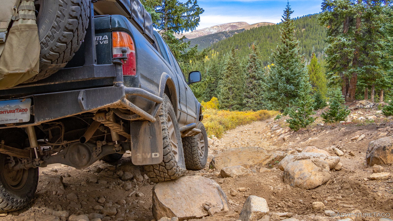
It turned out that Brett had a bit of a surprise in store for us as we pulled out of town, announcing that there were a couple of really cool trails in the area, and that we should go check out one in particular - Crystal Lake. He wasn't sure of the exact turn off from the highway, but we found it easily enough and drove through a reasonably large residential neighborhood before coming to the trailhead. From there, it was stunning how quickly the terrain changed - the graded gravel road almost instantly rocky and high-clearance only. It was great, and we soon found ourselves nearing the treeline again as we flirted with 11,500'!


Don't miss the rest of the story, and all the remaining photos that don't fit here (due to max post size). Hopefully that can change in the future, but until then...

Keep reading the rest here
Redhead Down #7: The Day We Made a Bench


.
 

turbodb

Well-known member
Redhead Down #8: Exploring the Champion Mill
Having gone to bed late, and camped at the bottom of a valley between two, 13,000' peaks that kept the sun from hitting camp, everyone was up relatively late the next morning.

Mostly.

I just happened to wake up and look out the tent door when the sun was in that special place below the horizon and lucked out capturing what I think was probably the best - or at least most colorful - sunrise of the trip!

48845731062_0d8ecb08b7_h.jpg

48845731032_81dbdff763_h.jpg

48845541371_9a33267109_h.jpg

But I was then back in the tent for another couple hours, doing my darnedest to keep warm as the cloud cover thickened. Eventually of course, we were all up and about - the day's journey awaiting our departure. It was at this point - as Monte was wondering how long it'd take him to make it back up the trail through Birdseye Gulch - that Brett informed us that, and then chuckled, "We don't need to go back up. Wait, you guys didn't realize that we're continuing down?"

Uh, nope. We're not from around here, Brett! ::p:

Happy to hear that our route out may not take a couple of hours, we decided it was high time for a morning break from wheeling.

No, that doesn't make sense, we hadn't done any wheeling yet. Regardless, someone had found a frisbee plastered with stickers from the Boise Idaho Jeep Club in the nearby creek and we proceeded to have a great time tossing it around for a good half hour or so before stashing where it belonged - it in a Trasharoo.

Eventually we all piled into our trucks and continued down the trail we'd started the evening before, the rocks and flexy sections just as frequent as they'd been on the way down.

48845541306_7007a65ead_h.jpg

As we descended toward CO-91 and ultimately Leadville, we crossed numerous streams that showed just how cold it'd gotten the night before - because it's not a balmy 32°F morning that results in 5" long icicles!

48845730792_e9b697b58f_h.jpg

And then, we crossed something that we've never - to my recollection - crossed in the wild before: train tracks. I mean, we cross these all the time on paved roads, and we see old abandoned mine rail lines all the time. But to run into an active rail out here in the middle of nowhere - it was a little surreal, and we waited around for a few minutes to see if we could get lucky and see a train. (Nope.)

48845730667_5a45b7762e_h.jpg

48845176193_5c65424da9_h.jpg

48845730322_e6834cbeab_h.jpg

From there, the dirt road down to the CO-91 highway got remarkably better. There were still a few water crossings and slower sections, but all-in-all, we were definitely back in Subaru territory. And once we hit the highway, it was a short jaunt into Leadville.

48845175888_3ae0ebf781_h.jpg

48845730177_80ad4f2e7f_h.jpg

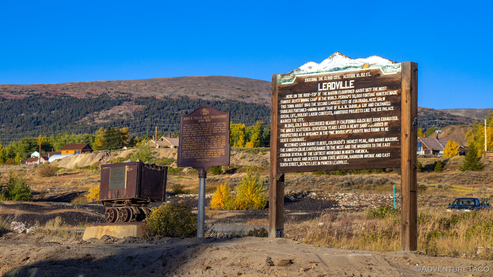
There's no better description of Leadville than that carved into the sign at the edge of town, so rather than paraphrase, I'll just include it here:

Entering the cloud city. Altitude 10,152 ft. LEADVILLE​

Here on the roof-top of the nation flourished about 1877 the most famous silver mining camp in the world. Perhaps 30,000 fortune hungers made this town the second largest city of Colorado in 1890. Here grew fabulous fortunes - among many, that of H.A.W. Tabor. A gay and cultivated social life, violent labor contests, ambitious projects like the ice palace marked the city.

In 1860, gold was discovered nearby in California Gulch but soon exhausted, the miners scattered. Seventeen years later, a heavy sand discarded by prospectors as nuisance in the pine woods here abouts was found to be silver carbonate.

Westward loomed Mt. Elbert, Colorado's highest peak, and Mt. Massive. The Sawatch (blue earth) Range to the west and the Mosquito to the east contain several of the loftiest mountains in North America.

As we drove through the town itself, it's quaint main street reminded me of the town of Wallace, Idaho, the buildings old, but in remarkable condition.

48845730067_1e646146a3_h.jpg

Still with plenty of fuel, we didn't even stop as we passed through town - our eyes set on a destination that we'd been waiting several days to enjoy: the Champion Mine and Mill. And it was up at the top of this mountain. :biggrin:

48845729972_844aa91626_h.jpg

Soon off pavement, we headed up the trail - the forest here completely void of any undergrowth. I commented on this fact over the CB radio, and Brett came back to say that so many people camped here as they staged to climb a 14er, that they essentially trampled anything shorter than 30 ft tall.

Well, that was a bit of a bummer, but looking back now I realize that despite the heavy traffic, there wasn't hardly a piece of trash in sight - so at least that's a reasonably good thing!

The further we got from town, the more rustic the trail became, avalanche shoots showing themselves as scars on the mountainsides, reasonably deep water-crossings serving as gatekeepers for the remainder of the trail...and a car wash for our amazing wheels.

48845175583_3bff5b6771_h.jpg

48845729742_ce4f20c52a_h.jpg

Soon enough, we were once again making our way up and out of the treeline, our trucks and their drivers breathing in the cool, clear mountain air.

48845540166_c7cc162cce_h.jpg

48845729492_0c6b258c46_h.jpg

As we got closer to the mill, Brett let us know that there'd recently been a bit of controversy over whether or not it was OK to drive up to the mill itself. Apparently the road was gated and - logically - the Forest Service said that if the gate was open, it was fine to drive up; otherwise, the road should be considered closed to motor vehicles.

We all hoped we'd find the gate open. Predictably, it was closed. :pout: Undeterred, we parked our trucks and set off on foot.

48845539916_3c691c81ae_h.jpg

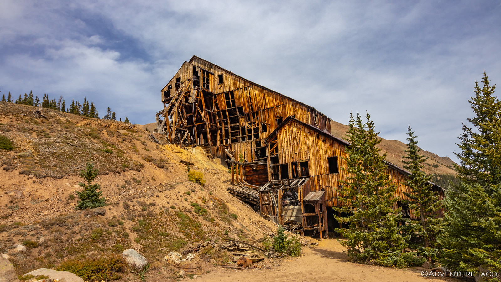
The Champion Mine was developed in 1907 when the Mount Champion Mining Company purchased the property and started construction mill capable of processing 50-tons per day and a 6,100 ft. long tramline - the first to pass over the crest of a ridge with an altitude over 13,600 ft at its highest point. Tram towers were constructed of wood and varied in height and design to follow the curvature of the cable strung between them. Electricity brought from Leadville powered the tram, which was equipped with forty-two buckets - each weighing 600 lbs and capable of holding nine cubic feet of ore which was shipped directly to the smelters in Leadville.

48845174953_d1f9a99e3f_h.jpg

Significant production started in 1912 and continued until 1918 when the cost of shipping ore to Leadville smelters proved to be unprofitable. Today, the mill still stands tall, though long tough winters have obviously taken their toll. Clearly though, some renovation and preservation work has taken place recently - large steel cables and a few new wooden beams now helping to stabilize the leaning structure...


Don't miss the rest of the story, and all the remaining photos that don't fit here (due to max post size). Hopefully that can change in the future, but until then...

Keep reading the rest here
Redhead Down #8: Exploring the Champion Mill


.
 

turbodb

Well-known member
Redhead Down #9: The Last Hour
The day started out like any other. I was up a little before sunrise looking for color, and while there wasn't much, I did get a little splash on the horizon that seemed to mimic the angle of Brett @Squeaky Penguin's GFC.

48851181202_b5311a8017_h.jpg

While the clear skies may have minimized the colorful sunrise, they did mean that morning in camp was a rather pleasant affair, the views back towards the Collegiate Peaks a striking way to enjoy the warming sun.

48851181057_e3b958f30a_h.jpg

And then - just as we were enjoying the peace and tranquility and our trucks and tents were thawing out - a low-flying chopper buzzed our site. We still have no idea where he was headed, really - but we were sure that he hadn't made any friends with the elk hunters who were out in force!

48851180862_88fcfcbae9_h.jpg

48851180602_e9fc402e9c_h.jpg

Now, unlike most mornings, this wasn't one where our regular routines were going to suffice. I mean sure, Mike @Digiratus and Brett still made their coffee - and sure, our tents were all eventually put away. But between those two things, we took the time to cook a dozen eggs, a skillet full of potatoes, and two pounds of the most delicious Big Buy bacon.

And then - on Brett's last morning in camp - we feasted.

48851180542_406099a9b1_h.jpg

Of course, after any meal like that, a nap is the next item on the agenda. We didn't actually climb back in our tents, but we did sit around for a couple hours, soaking up the sun and enjoying each other's company as we watched a parade of UTVs and full-size pickups make their way slowly along the road.

It was after noon when Brett finally bid farewell, the rest of us not far behind as we pulled out of camp to get underway - our destination today to the south and east, as our fourth made his way north towards home.

48851179617_1bedf772fb_h.jpg

Our southern route would take us to the tiny town of Tin Cup, and from there to Cumberland Pass. And, since I know it's on the top of your mind - let me assure you that our progress was no faster as a result of our late start - even Mike soaking up the fall colors that were blossoming around us.

48851178052_b7320f0de7_h.jpg

48850986386_2f92f66cd7_h.jpg

48850984706_b96d9878bb_h.jpg

Tin Cup was a town similar to Montezuma - it was small and quaint, it's roads made of dirt. Founded in 1878 when lode deposits were discovered in the area, it was originally named Virginia City. By the 1880 census, the town had a population of 1,495 but confusion with Virginia City, Nevada, and Virginia City, Montana, caused the residents to change the name to Tin Cup - named after prospector Jim Taylor panned some gold from Willow Creek, and carried it back to camp in a tin cup.

For many years, Tin Cup was a violent place. Town marshal Harry Rivers died in a gunfight in 1882, and marshal Andy Jameson was shot to death in 1883. The town population declined as the mines were exhausted and the post office closed in 1918, the last year any town elections were held. (wikipedia)

48850983636_f351ce4da5_h.jpg

Through town, we started up Cumberland Pass, the additional height quickly giving us a birds eye view of the valley we'd just traversed.

48850982626_fc12536450_h.jpg

48851172982_a3a373995d_h.jpg

We climbed for miles, the road twisty and fun as it hugged the side of the mountain.

48851171547_4dc102c94a_h.jpg

By the time we reached the top, we found ourselves above the treeline and 12,015 ft above sea level - the thin air now a regular occurrence, though I'm not sure we were going to be running any marathons at these elevations.

48850624743_a5f68752d5_h.jpg

48850979126_ba4c48cbc7_h.jpg

This would have been a great place to eat lunch, and on a normal day I might have glanced to see what time it was. But there was no need for that today, the half-pound of bacon in our bellies more than enough to keep us going at this point in the day. So keep going we did, down the south side of the mountain, past old mine buildings and their tailings, alongside streams with clear still pools sparkling in the sun.

48850624563_70a2945b51_h.jpg

48851169937_ceba2b303c_h.jpg

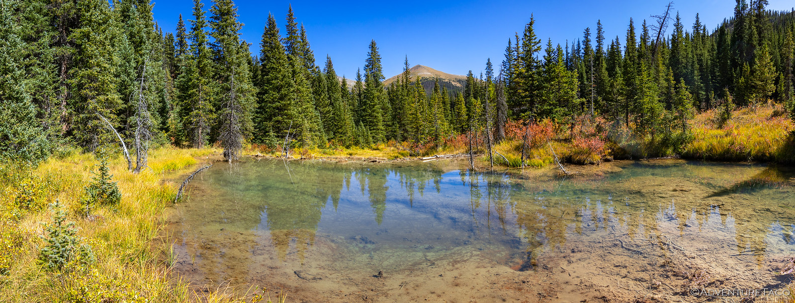
As we neared the bottom, Mike pulled over on a small offshoot. For days we'd been driving through landscapes full of beaver activity - dams, ponds, and lodges - and we'd always said we'd stop at the next one. Well, here we were at the 42nd next one, so it must finally have been time. ?

48851169737_f6d2c54a4e_h.jpg


Don't miss the rest of the story, and all the remaining photos that don't fit here (due to max post size). Hopefully that can change in the future, but until then...

Keep reading the rest here
Redhead Down #9: The Last Hour


.
 

turbodb

Well-known member
Redhead Down #10: Dealing with the Fallout
Still unsure exactly what the day would hold, we were up before 9:00am to get an early start on figuring out how to get the Redhead home. As we broke down camp, I happened to notice that if I stood in just the right place, I got a single bar of Internet on my phone, and soon enough we'd done a bunch of research that made us all feel quite a bit better.

48856963107_7c2e22f699_h.jpg

48856408863_2295d68286_h.jpg

The Internet is better up here.

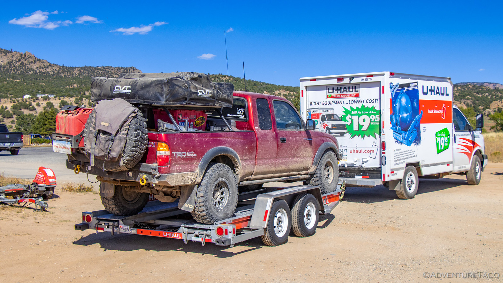
I was able to download my 1st gen Tacoma parts list and to our surprise, shock towers were a separately orderable part - great news since we were worried that they might only be acquirable as part of a full frame! At the same time, we were able to research the feasibility of a U-Haul rental for the Redhead, and it looked like that might be doable in Buena Vista - the nearest town - rather than requiring a drive several hours to Denver.

And the Redhead - looking as sad as we've seen her - wasn't going to make it to Denver.

48856764476_5846b61669_h.jpg

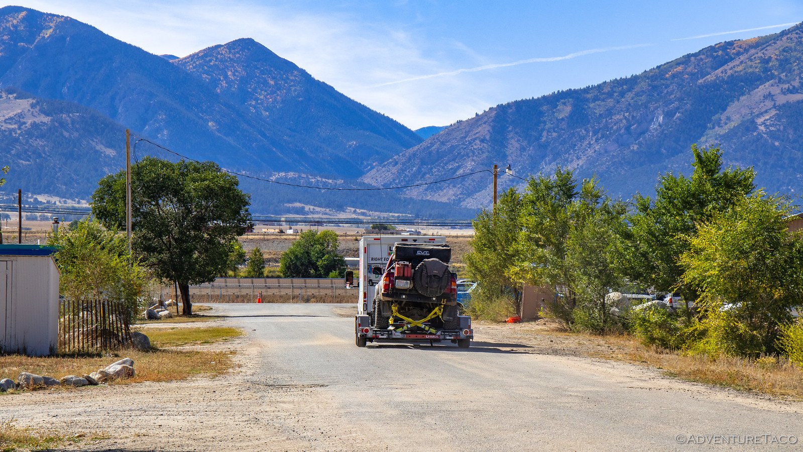
With the good news, we got done packing up and Mike @Digiratus led the way towards town, with Monte @Blackdawg in the middle and me following at a distance with my hazards flashing.

48856408438_92f812086a_h.jpg

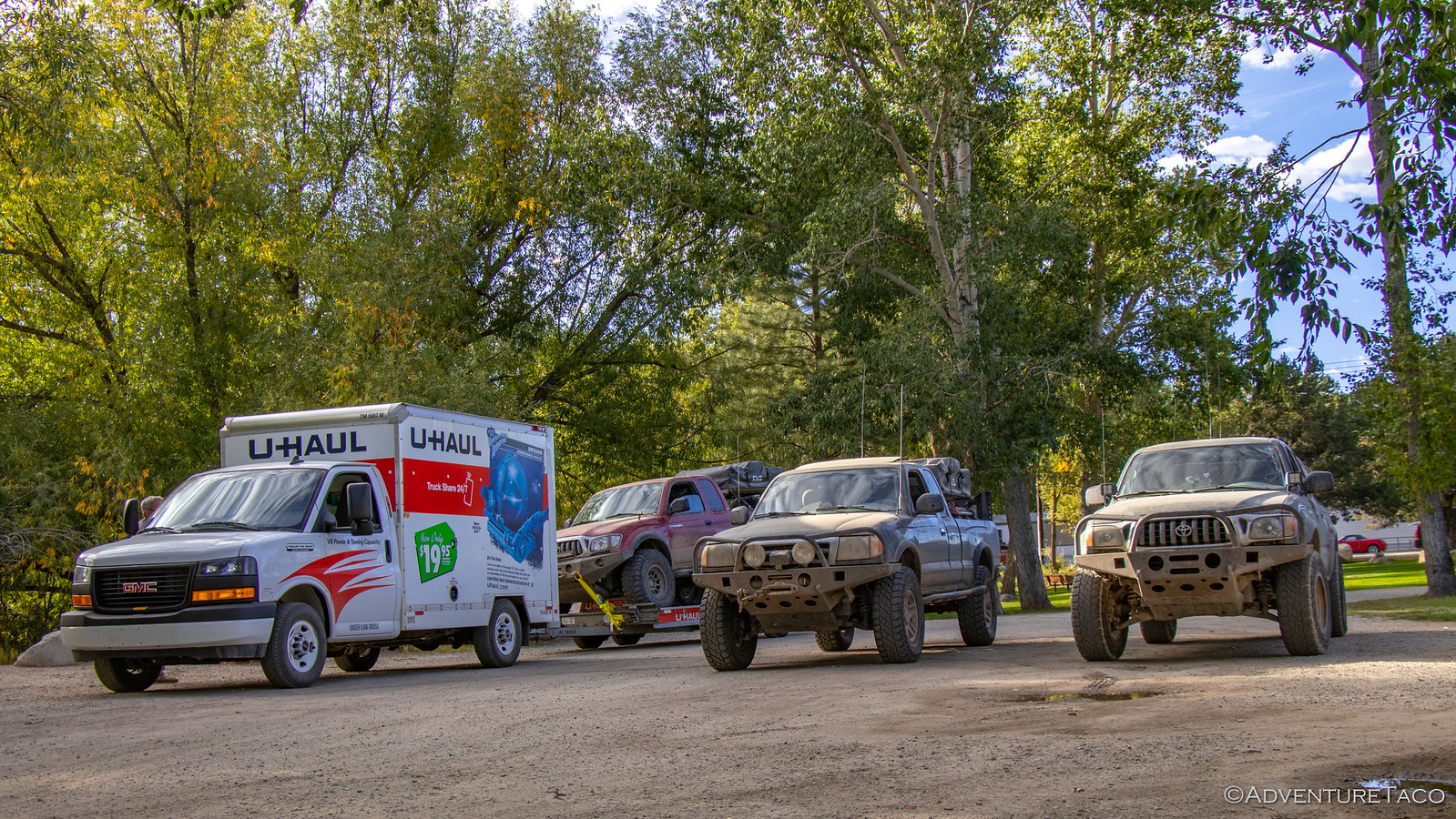
We made a beeline to the U-Haul, hoping they'd have both an auto-transport trailer as well as a 10' van to pull it. The van was there, but it turned out the trailer was located half an hour south in the town of Salida, so we locked up the Redhead and hopped in the two green trucks for the journey.

48856764071_6a292a6433_h.jpg

It was on this trip south that two notable events took place. First, the Tacoma hit 130,000 miles. That's still baby steps for a 20 year old Tacoma, but it was just a couple years ago that I hit 60,000 miles, so there've been quite a few adventures in that time!

48856962097_0c5023d8d3_h.jpg

The second event was a bit less momentous, but perhaps more predictable. See, since the evening before - about the same time Mike and I had our troubles - Monte had been feeling that his steering was just a little sloppy. He wasn't sure what the problem was exactly, but the truck would pull right as he braked. As we waited for Mike to get all set with the trailer, he figured he might as well check his lower ball joints (LBJs).

It wasn't a pretty sight.

48856763741_0066e45099_h.jpg

That grease isn't even from the LBJ itself - it's from the lower control arm (LCA) below the joint. And that meant that the joint itself was nearly dry. Had the joints let go on the trail, Monte could have had the most serious breakdown of us all!

At any rate, we hooked the trailer up to my truck and started back to Buena Vista - where we'd eat lunch and then load up the Redhead for the long trip home.

48856763656_8284eedc2f_h.jpg

48856763441_1c96d3851b_h.jpg

48856407603_c97f858b56_h.jpg

It wasn't a complex affair, but it did take a bit of time to secure everything in a way that we were reasonably happy - the winch pulling the truck forward, heavy duty straps attached in the rear. And with that, Mike pulled out of the U-Haul lot, the Redhead in tow.

48856407483_7c8702bbf4_h.jpg

48856407363_e904167a81_h.jpg

We weren't - however - headed home yet. In fact, Monte and I had planned to let Mike get a head start home while he and I returned to Mt. Antero to bag our 14er, but Monte's LBJ discovery had put a kibosh on that plan. Instead, all three of us high-tailed it over to the local town park where Monte could more closely evaluate his situation, and try to make it work for his journey home.

Except he never got that far. Just a block from the park flashing lights lit up behind him. The local sheriff had seen his IGOR license plate and was wondering what the heck was going on. ?

As Monte tells the story, his response started something like, "There's a bit of a story there sir, so bear with me..." and he then recounted how the plates save us a bunch of time when editing photos on these amazing journeys. The sheriff was quite appreciative of the situation, and after checking to make sure Monte's registration was in order, complemented all of us on our trucks and wished us a safe journey.

Pretty cool dude.

And then Monte dug into the ball joints.

48856407208_e185d3d369_h.jpg

In the end, the problem was obvious. The new Solo LCAs he'd purchased - the beefy ones that were going to make his alignments easy and that he never failed to remind us were so much better than OEM - were simply too thin where the stud of the balljoint passed through them. That meant that the lower castle nut could never fully tighten - something he'd missed during install. Both of them had nearly worked their way off when he finally discovered them, disaster likely only a tank or two of gas away!

Luckily, the solution was nearly as obvious as the problem. Or at least, the immediate solution was. We headed over to the local Tractor Supply and purchased several thick, grade 8, lock washers. With these slipped over the studs, we could effectively increase the thickness of the LCA, allowing him to snug up the castle nuts and correctly install the cotter pins.

It was a hack - and not the level of quality he'd expected from Solo - but it worked in a pinch, and within a couple hours, everything was buttoned back up and the truck was once again roadworthy - at least for a short time.

48856407053_6eb9952a9b_h.jpg

48856406963_b8e05a2f37_h.jpg

By now it was 5:30pm - as often seems to be the case, trail fixes taking much of whatever day they are started on - and we knew there was no hope of getting to the summit of Mt. Antero before the sun set. That left only one thing for us to do - continue as battered band of Tacomas - towards home.

48856960722_1fcc63a161_h.jpg

48856960477_57db4c1419_h.jpg

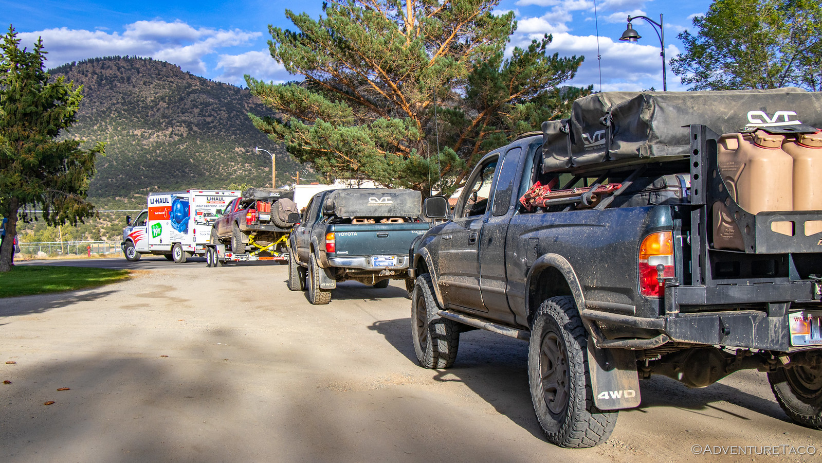
We'd travel together for four hours or so that evening - into the sunset as it were - Mike and the Redhead leading the way. Monte and I got the best gas mileage ever - at just over 22mpg - our route losing 7,000 ft of elevation and kept to 55mph.

48856765076_281da4b5d3_h.jpg

We'd come to Colorado for an unforgettable adventure - and that's just what we'd had. And as always seems to be the case, we left plenty to explore on a return trip!
 

turbodb

Well-known member
Rig Review: Whipsaw & Colorado 2019 - What worked and what didn't?
September 30, 2019.

It was another whirlwind of trips through August and September, with three more trips and 21 more nights now in the books: The Whipsaw Trail in BC, Canada, a trip with Pops to the California Sierras, and a nearly two-week adventure through Wyoming and Colorado. Of those, the two driving adventures both ended early due to mechanical failure of at least one vehicle on the trip, so without further ado, let's get into what's bound to be a stunning rig review!

Front Brake Hard Lines (long term)
TL;DR - the hard brakes lines are working fabulously and I'm happy to have installed them.

After the brake caliper failure on the IDBDR, I evaluated the Tundra brake situation and decided to complete the conversion to a Tundra front end from a brake perspective. That meant installing hard lines to the calipers, and replacing some of the mounting hardware on the spindles. It's worked out well, and I am now a firm supporter of this method of connecting the calipers to the rest of the hydraulic brake system.

As a reminder - LCE charges too much for the parts to do this, and they are essentially the only supplier. I will sell you the parts necessary to upgrade your brake lines for significantly less than LCE. If you are interested, check out the store page here: Tacoma-to-Tundra Hard Brake Line Upgrade Kit.

48857060888_550081c1c4_h.jpg


Rear Axle Seals
TL;DR - The rear axle seal replacement seems to worked beautifully and there is no more leaking at all.

My trip to Canada and the Whipsaw Trail was cut short when I discovered a leaky rear axle seal on the driver side. Upon my return, I replaced the seals using the Step-by-Step Guide to Replacing the Rear Axle Seals & Bearings I'd put together when doing the job on my 3rd gen 4Runner, and the project went off without a hitch. I hadn't driven the 4Runner much since doing the job, and the job on the Tacoma was done only a couple days before leaving for California and Colorado. I'm happy to report that through the entire 4500 mile journey, the seals worked flawlessly and I suspect will continue to work for another 100,000 miles or so. This is a job I entirely recommend doing yourself if you have the same problem - with the right tools, a little time, and the step-by-step guide above (which also links to the necessary parts and tools), it's easy and satisfying. Plus, you'll save yourself about $1000.

48857613662_a73fc54fc1_h.jpg


Little Hotties Hand Warmers
TL;DR - if you get cold hands/feet at night when it's cold outside, and would like to be warm and toasty in bed, these work great as long as they are exposed to air/moisture.

Perhaps even a year ago now, I purchased a box of Little Hotties Hand Warmers in the hopes that they would keep me warmer on really cold nights when we stayed up around the camp fire until way past my bedtime (midnight or so). I've used them a couple times since then, but I always tried putting them in my shoes as we were around the fire, and that never seemed to work - I think because they didn't have the necessary air flow to trigger the chemical reaction that gives off heat.

On the Colorado trip, I took a different approach. Instead of using them around the fire, I placed them in my socks when I got into bed. This way, they had more exposure to air. It worked great. They warmed right up and kept my feet warm for 8+ hours. That in turn kept me much more comfortable in bed. Will do again.

48857060538_5480b767c7_h.jpg


Front ADS Reservoirs Too Close to Tires
TL;DR - Moving the resis to the top of the frame means there is no more rubbing and I have my turning radius back.

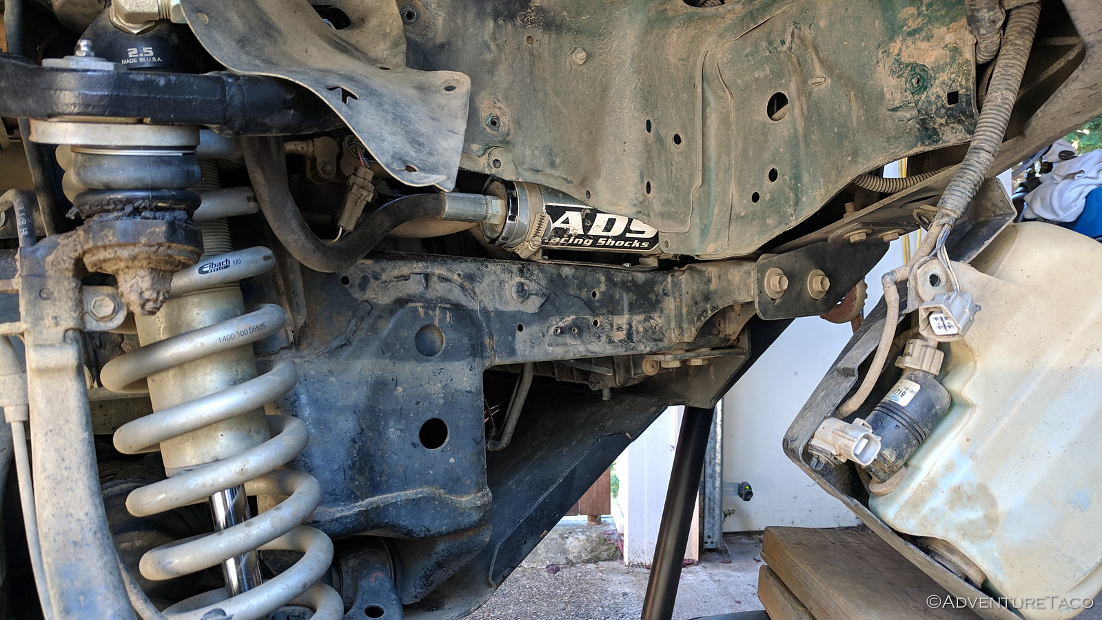
It was many months ago that my tires started rubbing on the ADS reservoirs that I'd attached to the frame in the front wheel wells. This was a result of moving from SCS Stealth6 wheels to 4Runner 5-spoke wheels in order to reduce the amount of mud that was flung onto the truck in muddy conditions.

Until the trip to Colorado, I believed that my mounting location was the only one that the hose from the coilover to the resi would allow. However, I've since seen two other ADS owners who have installed their resis on the top of the frame, with seemingly positive results.

Also on the trip to Colorado, I noticed that the resis were starting to see significant wear from the rubbing. As such, immediately upon my return I moved the brackets and reservoirs to the top of the frame. This has solved the rubbing problem entirely, and though it's harder to access the resis when bolted to the top of the frame, I think it is a good long-term solution.

48857612762_2e4ab9209d_h.jpg


Front ADS Coilover Spherical Bearings (maintenance)
TL;DR - it's been about a year and my spherical bearings are getting squeaky; time to replace them.

My understanding is that these are COM10T bearings and that I can just look around on the internet and find the cheapest seller. Ugh, a plan like that always worries me a little bit.

Relentless Skid Plate Attachment
TL;DR - The skid plates are holding up, but the mounting strategy could have been better. For the 3rd time, I'm modifying it.

I had some significant trouble with the Relentless skid plates on the last trip to Colorado. I've always had an issue with the bolts in the rearmost mounts on the mid (transfer case) skid loosening up over time - I believe due to the fact that the bolts simply thread into the <1/8" frame, which is just too thin to really secure them.

Additionally, I've had a problem a year ago where the crossmember mounts sheared off, and had to be rewelded to the skid plate.

Both of these things were a problem this trip, and I also apparently ripped both bolts out of the IFS mounts on the front skid.

48857612302_0bfa5042e3_h.jpg

As a result, I'll be making the following modifications:
  1. For the front skid IFS mounts, I'll be drilling out and re-tapping the mounts that I welded on to the LCA locations so that I can insert larger bolts. I'll also be welding a bit of a lip around the bolt heads to try and protect them more.
  2. For the mid skid, I'll be welding the crossmember mounts on again, and I'll just cross my fingers that they last another year. If/when they fail again, I may consider a different mounting strategy.
  3. For the mid skid, I'll be using Rivnuts to secure it to the frame in the rear-most position. I've already done this on the passenger side and it seemed to work well.
Oil Leaking from Transfer Case
TL;DR - I have oil leaking from the transfer case where the front drive shaft attaches.

The truck is subjected to a lot of muddy water crossings and over time that muddy water gets in the various seals and things start to leak. That has happened on one of the transfer case seals, so I'll need to replace the seal between the transfer case and the front drive shaft. The part number for this is Transfer Case Oil Seal - Inner Front Drive Shaft (90311-41012) and I'll also need to replace the Transfer Case - Front Drive Shaft Stake Nut (90179-22016) at the same time.

The work isn't done yet, and I'm not overly worried at this point as the leak looks reasonably slow.

48863180606_62e350f6ad_h.jpg


Overall Weight of the Tacoma
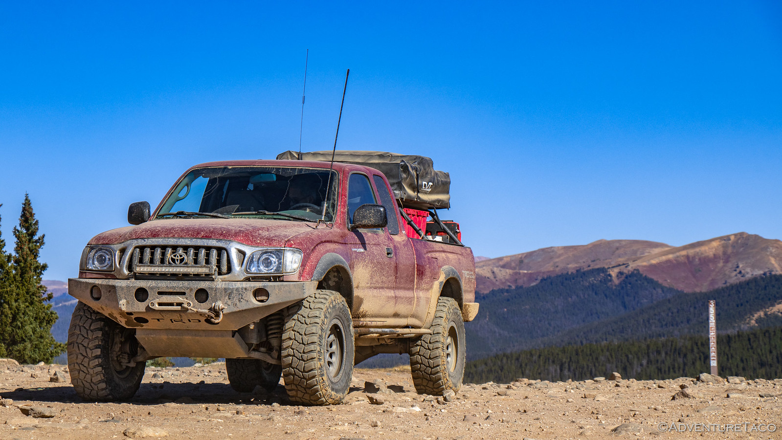
TL;DR - the truck is heavy at 5800 lbs loaded, and I need to find a way to shed weight. That's now on the project list for this winter.

48862658788_4dd268471f_o.jpg


Not technically my truck. Mine might be heavier.


.
 

turbodb

Well-known member
Unfinished Business in Oregon #1 - Hiking Steens Mountain
I was stir crazy.

I'd been back from our didn't-go-quite-as-planned trip to Colorado for two weeks and it was time to get out again. And this time I wanted it to be with @mrs.turbodb. Knowing that she'd be unable to resist a trip back to the Alvord Desert - and for our first time, Steens Mountain - I knew that would be our destination.

It'd be a relatively short trip - four days total - but I figured that even at that, we could do a couple things we'd wanted to do for quite some time:
  1. We could get to the top of Steens Mountain, which on every previous trip has been covered in snow. The highest road in Oregon, this is something we've wanted to do for years, since we first saw it while visiting the Malheur Refuge. In fact, @mrs.turbodb mentions Steens so often that it's become a running joke.
  2. We could make another run at Big Sand Gap on the east side of the Alvord Playa. Because we had a score to settle from our last attempt. Not that we're hard-headed or anything.
So, it was in the very early morning hours of October 10, 2019 that we piled into the Tacoma and headed south. It was so early in fact that we were in Portland before the sun even crested the horizon, it's orange glow illuminating Mt. Hood in the distance.

48912674472_4a18165a72_h.jpg

The miles continued to tick away as the sun rose into the blue sky and after a couple more hours we reached Mt. Hood itself, climbing up over the pass with it towering above.

48912674422_39a1f51a08_h.jpg

Then - something we'd never seen before. As we drove through the area of Oregon near Madras, it became clear just how cold it was outside. To prevent freezing of their equipment, many ranchers had left their irrigation systems running. And the results were spectacular - the bright green grass encased in thick ice!

48912674377_b09956ba07_h.jpg


48912674227_9df925394d_h.jpg

I don't know about @mrs.turbodb, but it was about now that I started wondering if we were crazy. Though the weather was forecast to be dry while we were in the Alvord, temps were projected to be in the high-teens to low-twenties at night. :eek:

I didn't mention it, and just continued driving.

After a stop for lunch and a couple more for fuel, we eventually arrived in the Alvord Desert a little before 4:00pm in the afternoon. Perfect timing for our first unfinished business - we wanted to hike Pike Creek. We'd attempted this on our last trip, but the water level in the creek had been high enough that we were unable to cross...and being too lazy to wade across bare foot, that had been the end of that.

We hoped as we headed up the short road to the trailhead that the same wouldn't be true today.

48911939878_a7c0786e83_h.jpg

As we reached the trailhead and parked, we also had the chance to take a closer look at a tree I'd noticed the last time we were here, but also didn't investigate since there was already a camper parked in the spot. This tree is growing out of a crack in the middle of a small-house-sized granite boulder, and has been for decades. Nature truly is amazing.

48912673957_156af114be_h.jpg


48911939578_6e211b4d76_h.jpg

Clearly, I was already amazed before we even started the hike - I'm easily entertained, I guess. At any rate, we made our way across the now-very-low-creek, and started up the trail - the views in front of us starting to get a bit shady; the playa behind us a brilliant gold.

48912464061_d1075e95c6_h.jpg


48912463881_f4618d75d1_h.jpg


48912463686_63587cdf6e_h.jpg

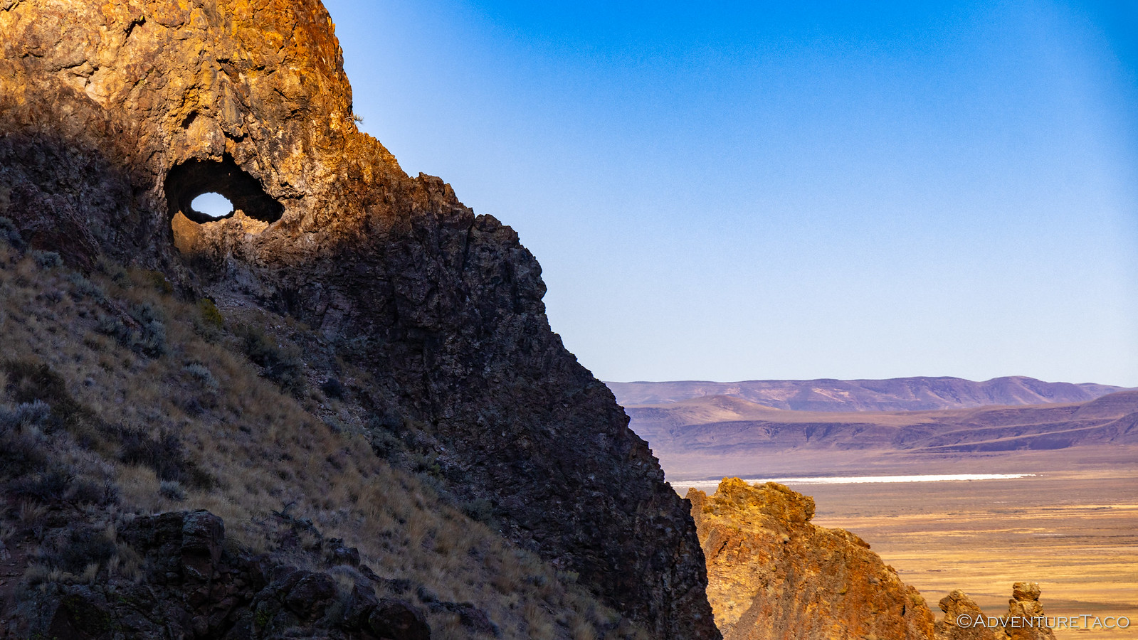
An astute viewer may have noticed that we also had a cool view through a small tunnel in the ridge opposite us in the photo above. That small tunnel that turned into two(!) as we made our way a bit further up the trail. And you guessed it, I was once again entertained. Definitely a set of tunnels I'd love to go climb through in the future.

48912463571_c0c0efd8b7_h.jpg


48912463446_87c885dd69_h.jpg

We continued up the trail, now excited for the next bit of entertainment, which @mrs.turbodb had related to me from her trusty book, 100 Hikes / Travel Guide: Eastern Oregon - a wilderness boundary sign, a dynamite shed by a cliff, and the entrance to a uranium mine. And who doesn't want to get up close and personal with some uranium? I for one couldn't wait to walk into an old mine shaft surrounded by the stuff.

At a little over 1 mile, we found the first two landmarks easily. I mean, they were right next to each other.

48912463346_3a4753a74d_h.jpg


48911938593_90112a2e12_h.jpg

Finding the mine was a bit more tricky. First, we stumbled upon some old rail lines - likely from the ore cars that were used to move material off the mountain. Buried in 2 feet of dirt, I initially thought we might be able to follow them to the source, but decades of erosion meant that the rest of the lines were hidden for good.

Eventually though we found ourselves scrambling a good way up the side of the mountain and towards what appeared to be the opening of the mine shaft - we'd found it!

48912463096_eeccffa630_h.jpg

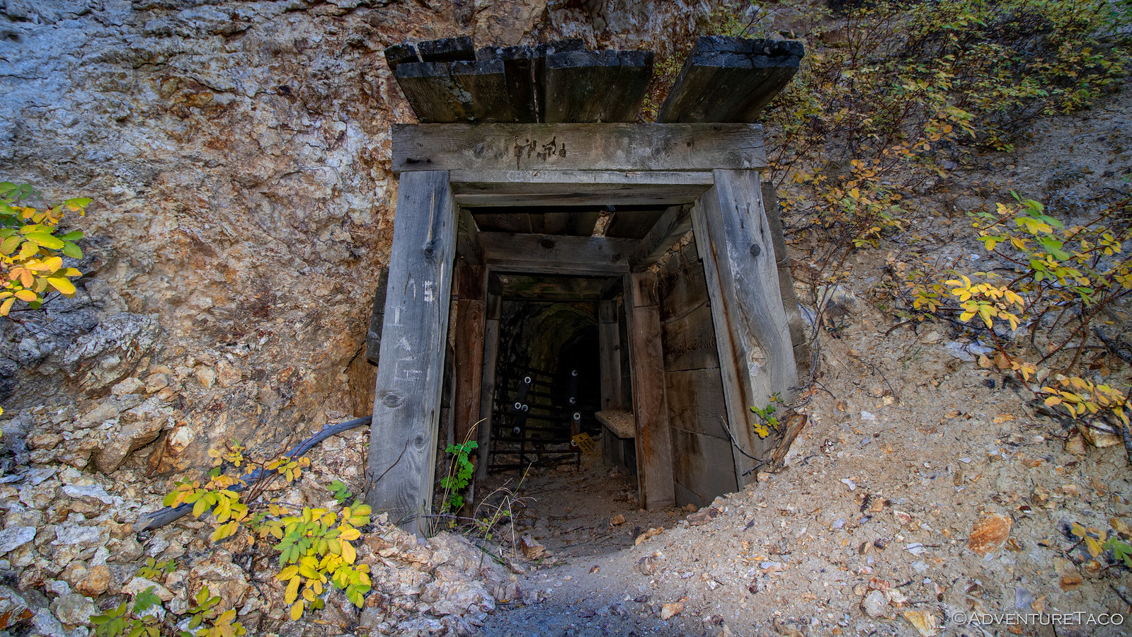
It was a small opening - no more than 4 feet tall - but to our surprise, it was in reasonably good shape. See, we'd expected that it would have collapsed after all these years, but in fact, it was just the contrary - even as I took flash photos into the shaft, I couldn't see the back wall.

48912465616_8695e340d2_h.jpg


48912675022_b4039ae8b1_h.jpg

Throwing all caution - and perhaps any future @mini.turbodb's - to the wind, I ventured in. The shaft continued south for 50 feet or so, with a easterly branch splitting off near the end and heading another 30 feet into the mountain. I decided not to explore that branch, instead opting to make my way back out. You know, no reason to push my luck.

48912674932_df597753bd_h.jpg

Back out in the open air, I'm sure there was a new glow to my presence that hadn't been there just a few minutes before. I asked @mrs.turbodb if she wanted to go take a look, but she's a smarter cookie than me and opted to see the photos instead.

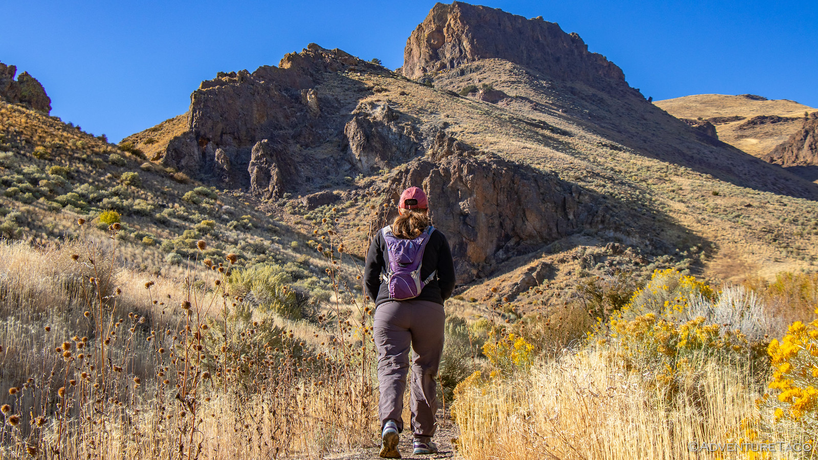
We continued on. From here, the trail crossed the creek again and headed up the other side of the ravine. A few switchbacks made this easier than if we'd gone straight up, and we made quick work of the elevation gain. Nearing the crest of the trail we kept our eyes peeled for thundereggs - fist-sized, red rock nodules on the slope. Rockhounds have cracked many of these open in search of quartz crystals or the colorful jasper and many have been carted off over the years, leaving only the worst of the bunch for us to admire before heading back.

They did look weird though. And it's a good thing I didn't get to name them - I'd have called them volcano poops.


Don't miss the rest of the story, and all the remaining photos that don't fit here (due to max post size). Hopefully that can change in the future, but until then...


.
 

Forum statistics

Threads
188,342
Messages
2,905,813
Members
229,959
Latest member
bdpkauai

Members online

Top