jscherb
Expedition Leader
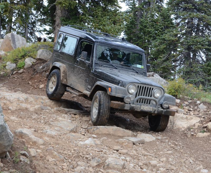
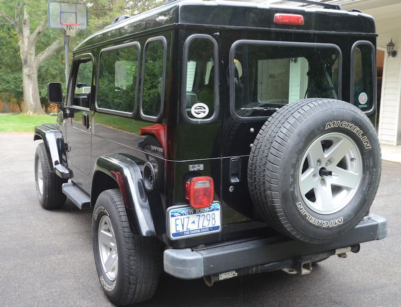
Every year for at least the past 10 years we've made from 1 to 3 trips out west to explore off-road in the LJ. Most of these trips are to Colorado, also with a trip to Easter Jeep Safari most years and sometimes exploring further like northern Alaska in 2014 and several times to Death Valley and the Mojave Desert. The last few years was only one trip mostly due to the pandemic; last year we explored the Continental Divide crossing of the old Denver & Salt Lake Railroad line across Rollins Pass. Photos from most of these trips have been posted in this thread over the years.
I'm working on a plan for a trip for this year. I'm already planning a trip to Arizona for Overland West in May, but also thinking of a Colorado exploration trip in July. We've explored a lot of Colorado and Colorado trails over the years (I posted a list of most of the trails we've done a month or so ago in this thread), but rather than repeating places we've already been, I'm thinking of exploring the headwaters of the Colorado River this year. The map below is pieced together from three different Colorado trail and guide books and shows approximately what I'm thinking - the red dashed line shows one possible route through the area.
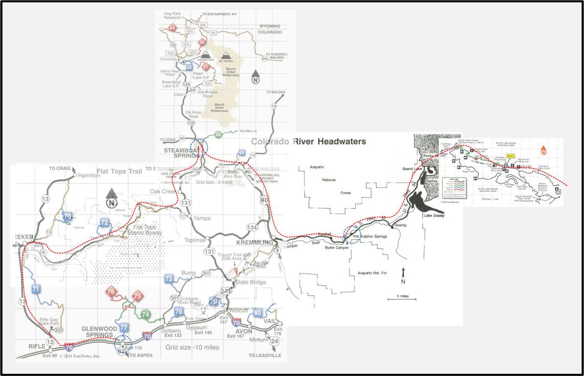
The approximate east to west distance pictured on the map is 125 miles; the actual route would be much longer. A lot of the route is paved, but some of it is trails and some of it is unpaved or gravel roads. There are many side detours/trails that could be explored as well.
This is still in the early planning stages, I've got more research to do. And if anyone has any thoughts or recommendations about this part of Colorado, please post them.
I'm working on a plan for a trip for this year. I'm already planning a trip to Arizona for Overland West in May, but also thinking of a Colorado exploration trip in July. We've explored a lot of Colorado and Colorado trails over the years (I posted a list of most of the trails we've done a month or so ago in this thread), but rather than repeating places we've already been, I'm thinking of exploring the headwaters of the Colorado River this year. The map below is pieced together from three different Colorado trail and guide books and shows approximately what I'm thinking - the red dashed line shows one possible route through the area.

The approximate east to west distance pictured on the map is 125 miles; the actual route would be much longer. A lot of the route is paved, but some of it is trails and some of it is unpaved or gravel roads. There are many side detours/trails that could be explored as well.
This is still in the early planning stages, I've got more research to do. And if anyone has any thoughts or recommendations about this part of Colorado, please post them.

