Photog
Explorer
We have been to Death Valley twice before, and we can't get enough of the spectacular scenery. This time, we are attending a week-long photography workshop, put on by Rocky Mountain School of Photography.
We are going to take 4 days to get there, & 5 days to get back. This will give us time to enjoy the drive and the workshop.
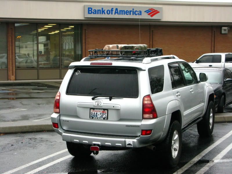
Today (Nov 6, 2008) we started out from Tacoma, with a stop at the bank, for travel funds. All good trips start out with some type of sponsorship. In this case, our checking account is sponsoring the "expedition".")
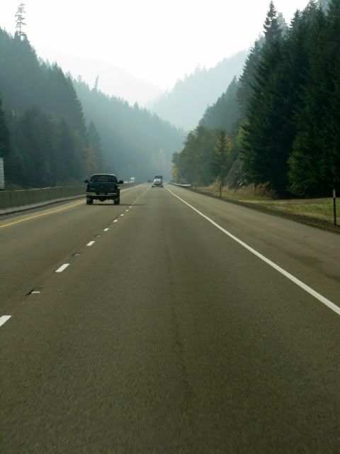
After a 100 miles, I like to do a quick check for any issues, tighten down things that rattle, or in this case, clean the Fall leaves out of the fresh-air intake.

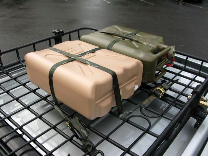
Since we are still on the interstate, and major highways, the fuel & water cans are empty, and strapped down for minimum wind resistance. These will be put to use, before we enter Death Valley, on Sunday.
We stopped at a friend's house in Vancouver, Washington, for lunch; spend a couple hours talking politcs, travel and photography. Then we head south, across the Columbia River bridge, on I-5.

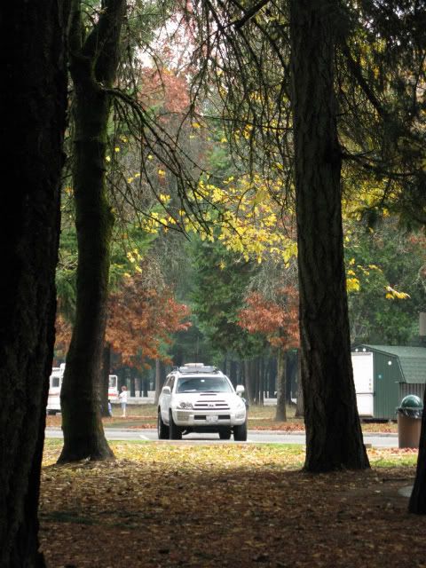
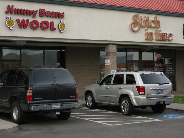
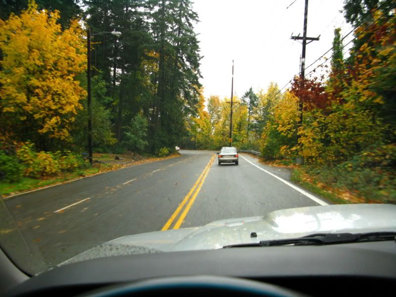
Side trip to a shop in Portland, for Cindy. The Fall colors are everywhere in this area.
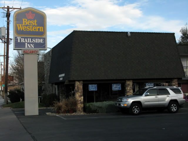
One more stop for Cindy, before checking into the motel in Roseburg, Oregon, for the night.

As much as I would like to be doing this whole trip, with a self contained vehicle; we are not completely prepared for that yet. So I have made all the necessary arrangements, for lodging throughout the next two weeks. We could use all our backpacking gear, and stay in campgrounds, or hunt for places in the National Forest; but .....
Friday, we will be traveling from Roseburg, OR. to Susanville, CA.
Saturday, we travel from there to Tonopah, NV.
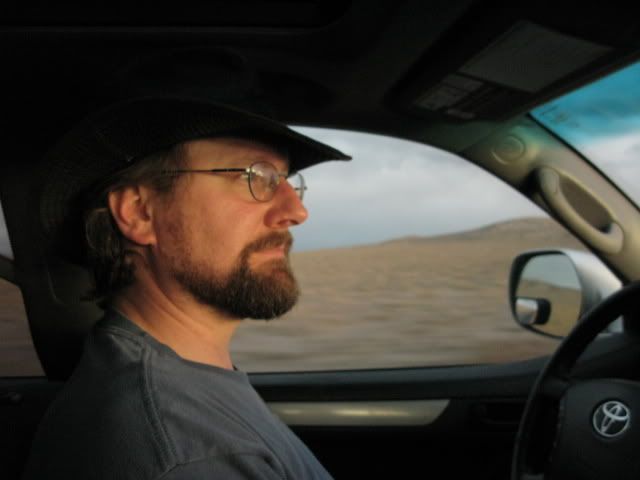
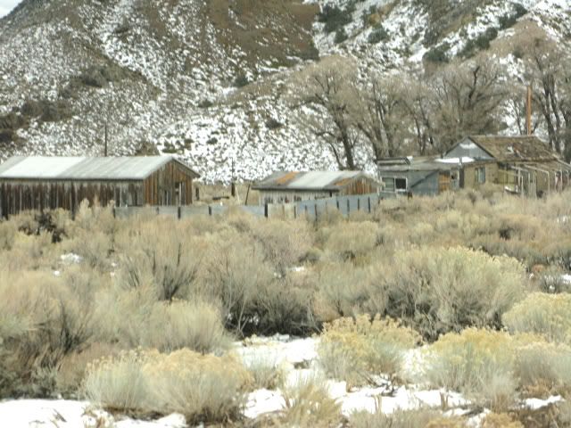
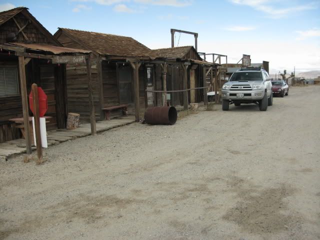
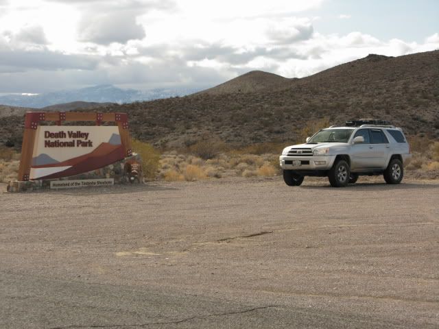
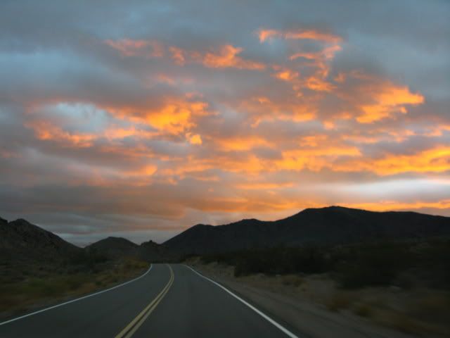
Sunday, from Tonopah through the north end of DV, and down to Stovepipe Wells. We will stop by Crankcase Junction, and Eureka Dunes, before heading on to Stovepipe Wells. We have all day, as the photography workshop does not start until 7:00pm on Sunday.
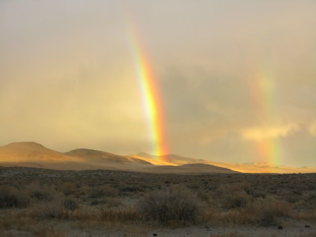
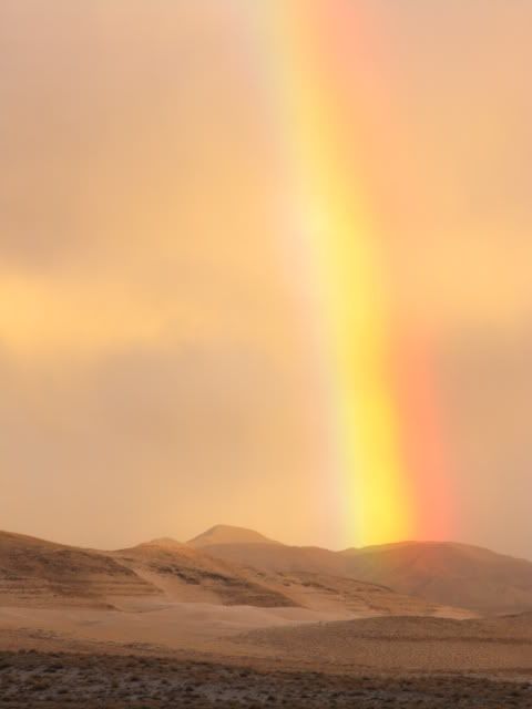
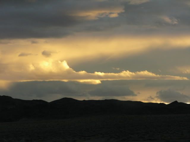
Edit: No Crankcase Junction or Eureka Dunes. The park roads were flooded by snow & rain, the morning before we arrived. Re-route and enter through East entrance.
We are going to take 4 days to get there, & 5 days to get back. This will give us time to enjoy the drive and the workshop.
Today (Nov 6, 2008) we started out from Tacoma, with a stop at the bank, for travel funds. All good trips start out with some type of sponsorship. In this case, our checking account is sponsoring the "expedition".
After a 100 miles, I like to do a quick check for any issues, tighten down things that rattle, or in this case, clean the Fall leaves out of the fresh-air intake.
Since we are still on the interstate, and major highways, the fuel & water cans are empty, and strapped down for minimum wind resistance. These will be put to use, before we enter Death Valley, on Sunday.
We stopped at a friend's house in Vancouver, Washington, for lunch; spend a couple hours talking politcs, travel and photography. Then we head south, across the Columbia River bridge, on I-5.
Side trip to a shop in Portland, for Cindy. The Fall colors are everywhere in this area.
One more stop for Cindy, before checking into the motel in Roseburg, Oregon, for the night.
As much as I would like to be doing this whole trip, with a self contained vehicle; we are not completely prepared for that yet. So I have made all the necessary arrangements, for lodging throughout the next two weeks. We could use all our backpacking gear, and stay in campgrounds, or hunt for places in the National Forest; but .....
Friday, we will be traveling from Roseburg, OR. to Susanville, CA.
Saturday, we travel from there to Tonopah, NV.
Sunday, from Tonopah through the north end of DV, and down to Stovepipe Wells. We will stop by Crankcase Junction, and Eureka Dunes, before heading on to Stovepipe Wells. We have all day, as the photography workshop does not start until 7:00pm on Sunday.
Edit: No Crankcase Junction or Eureka Dunes. The park roads were flooded by snow & rain, the morning before we arrived. Re-route and enter through East entrance.
Last edited: