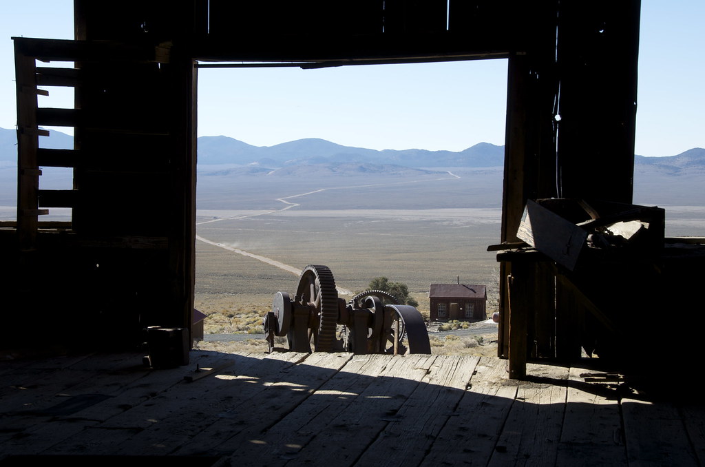
Leg 18: Berlin, side-door to Pony Express and Ft. Churchill
PONY EXPRESS/OVERLAND STAGE ROUTE TO VIRGINIA CITY TREK SERIES
Never before has a venture that only lasted 18 months (1860-1861) captured the imagination of people worldwide; 150 years later the logo stands as an international icon of determination and speed. In 1851 overland mail would take three months from Missouri to California. The Overland Express Stagecoaches were able to shorten it to 22 days taking a southern route by 1857. The Pony Express delivered mail in 10 days from New York to San Francisco. To this day, determined Overlanders can retrace many surviving parts of the route. The trail was broken into five divisions; the most remote and dangerous was Division Five across the deserts of the Great Basin of Nevada and Utah. It continues to be the most remote and least retraced. Our two Trek Legs travel through the solitude of Division 5 but ends in one of North Americas' best-preserved 1860's old west boomtowns, Virginia City, not a museum but a self-sufficient community.
Leg 18: Berlin, side-door to Pony Express and Ft. Churchill
The first of three Trek Legs in this series we scouted for Overland Frontier starts in Berlin ghost town/mine. Our route makes a stop at the intact Poinsettia Mine camp before traveling north past Rawhide where we join the Pony Express. Each one-way XP delivery took 75 horses. Superintendents set up “Home Stations” every 65 to 100 miles to ensure replacement horses; feed and food were available for relay stations that are 12-15 miles apart. Our route passes the ruins of the 150-year old First Desert (relay) Station and the surviving Buckland (home) Station and nearby Fort Churchill, erected in 1861 to reduce friction with natives.
RATED: Most of it is Easy but because it is very remote and some eroded bits can easily become more difficult, we rate it Moderate.
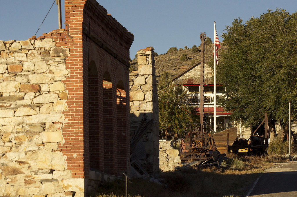
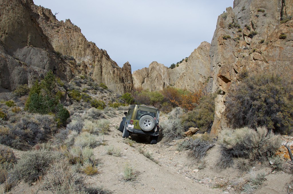
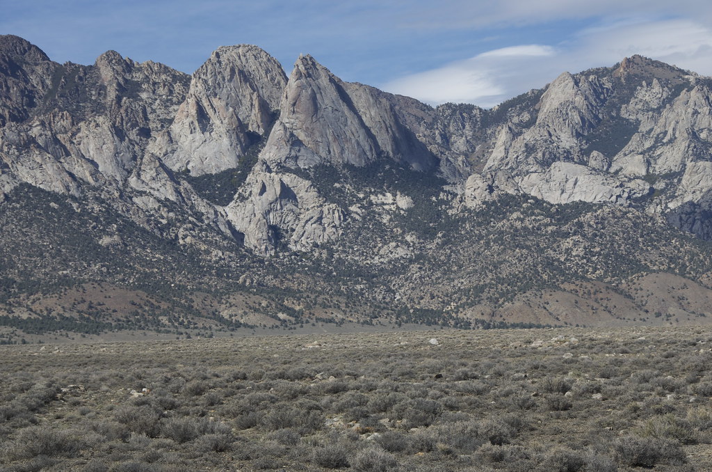
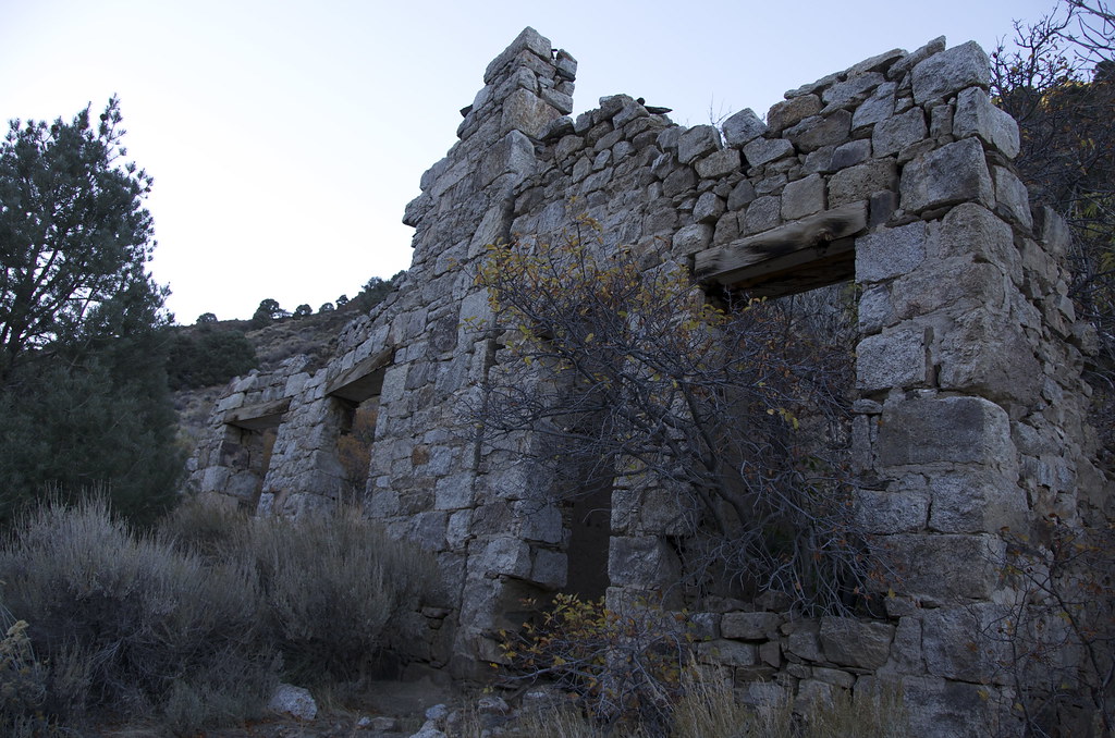
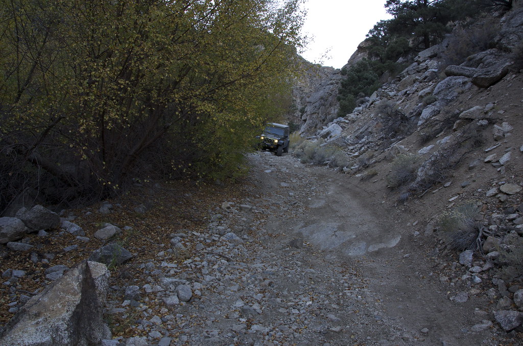
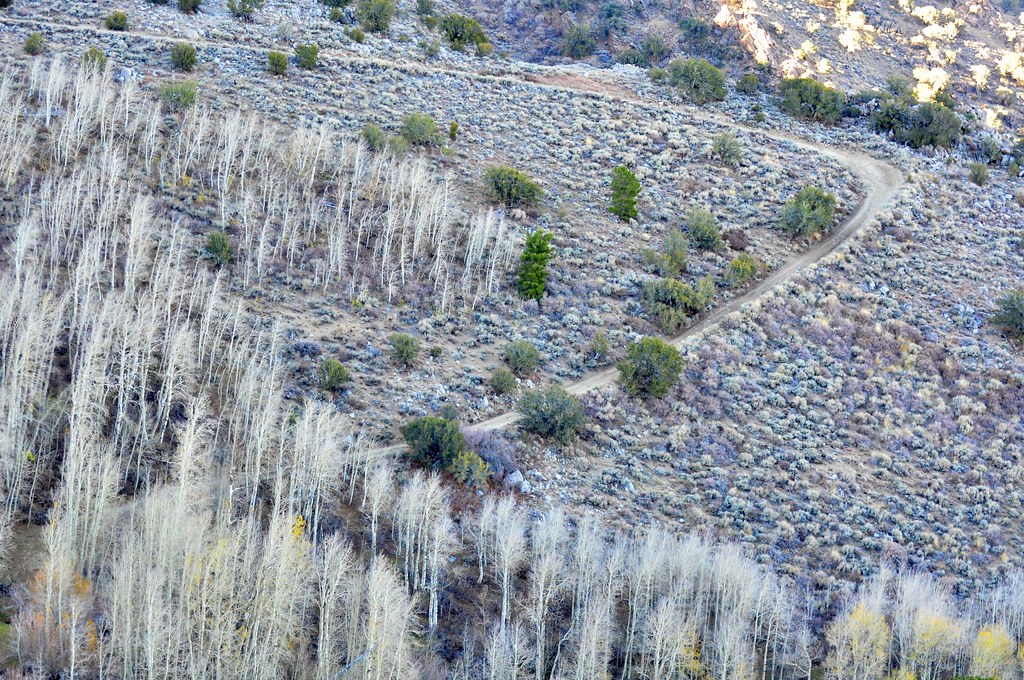
Leaving Berlin, the route crosses Mentor Pass and leaves the gravel road for Craig Canyon, and the Wells Fargo stage road through to Downeyville ghost town. Rich silver and lead deposits discovered above Craig Canyon in 1878 by four Downey Brothers.
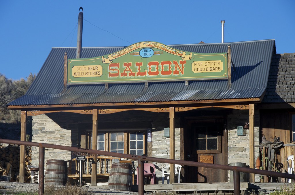
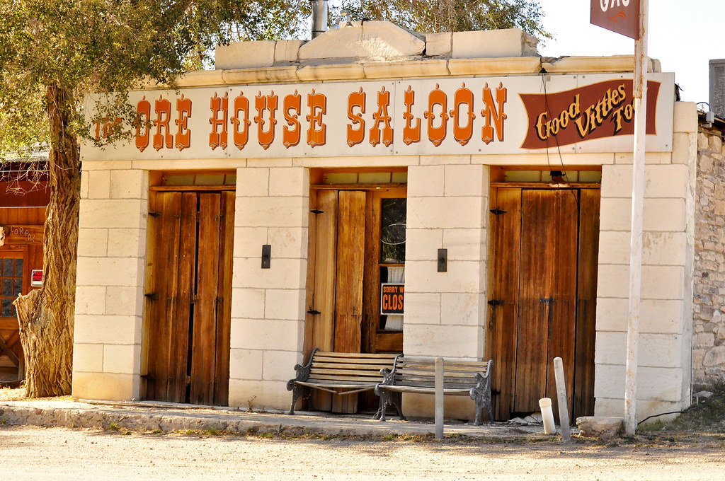
Ruins of their namesake town can be found along the south side of the canyon. where saloons, mercantile and the ultimate sign that the mines were successful, a Wells Fargo office. Over 12 million in precious metal passed through Downeyville. Time was short on this segment and we later found out that the mines ruins above are well preserved and worth a visit.
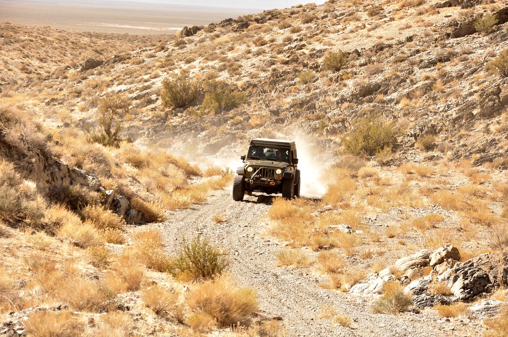
Mentor Pass and Wells Fargo Stage Road by
Overland Frontier, on Flickr
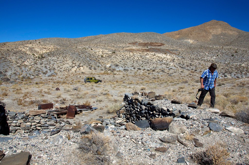 Downeyville Ghost Town
 by
Overland Frontier, on Flickr
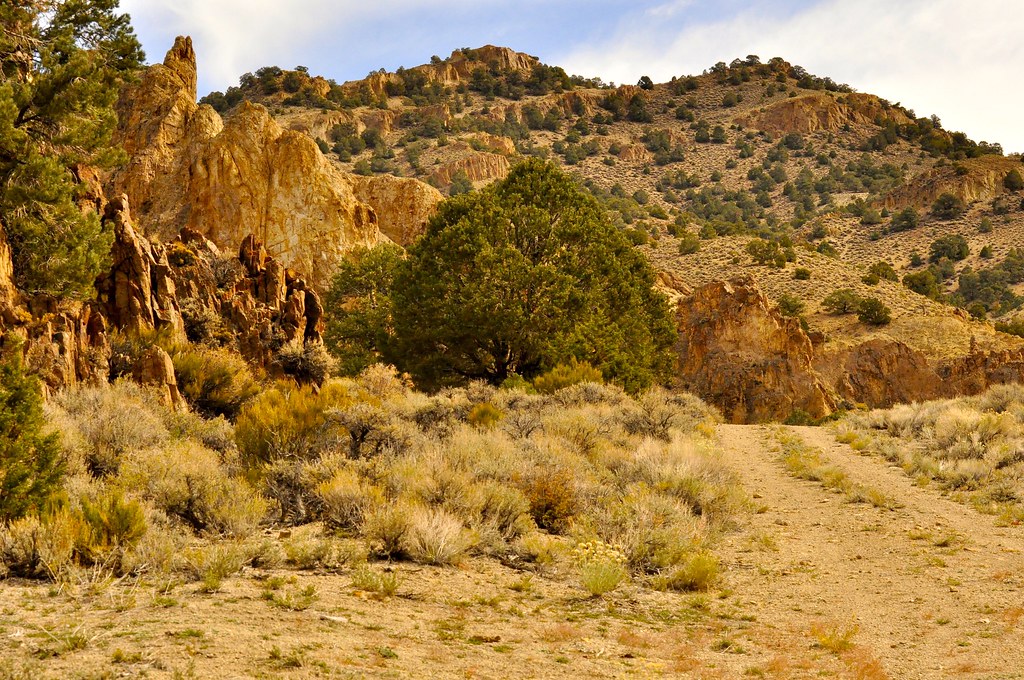
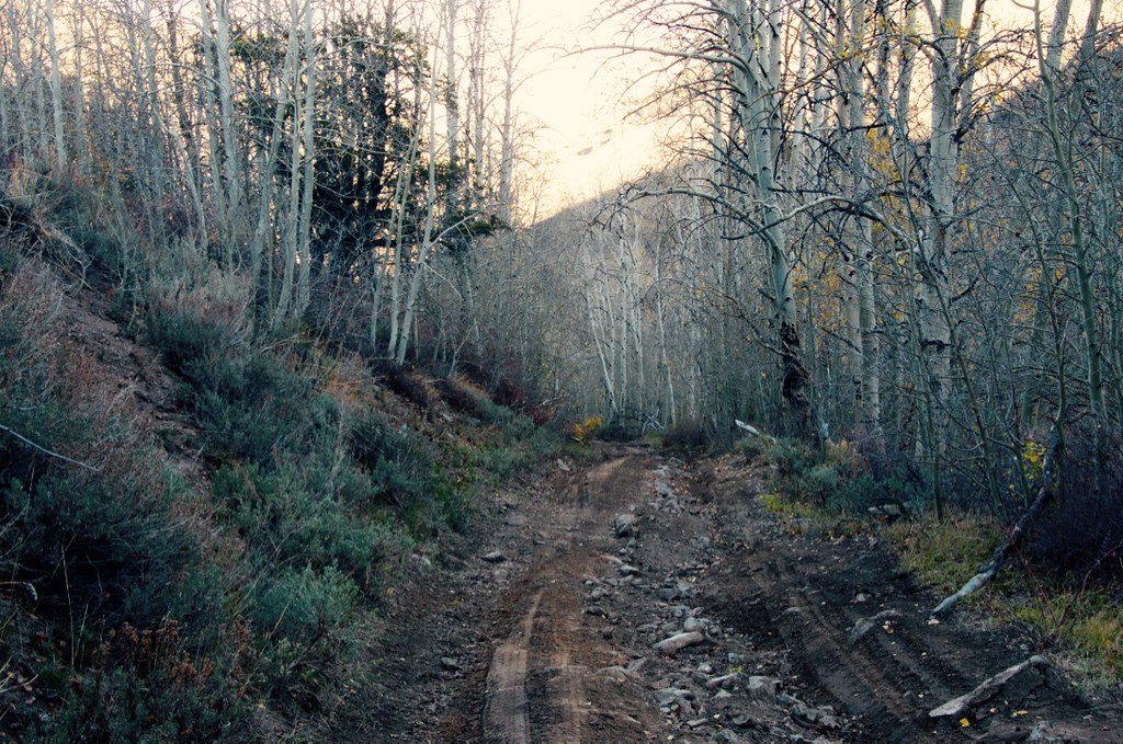
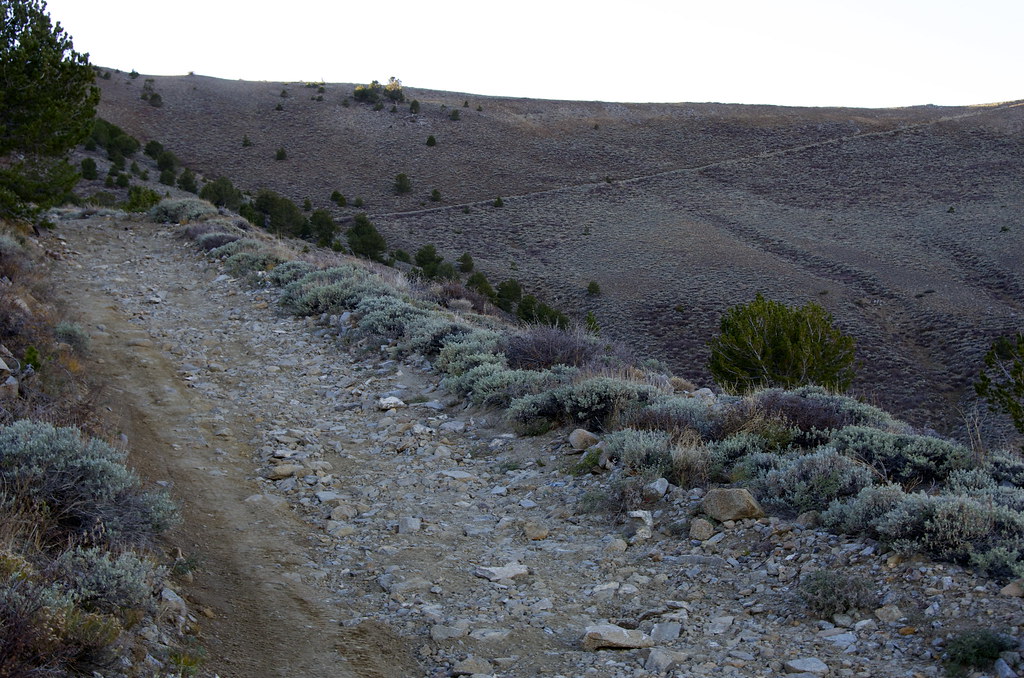
We would soon discover why the road the Rawhide was surprisingly wide.
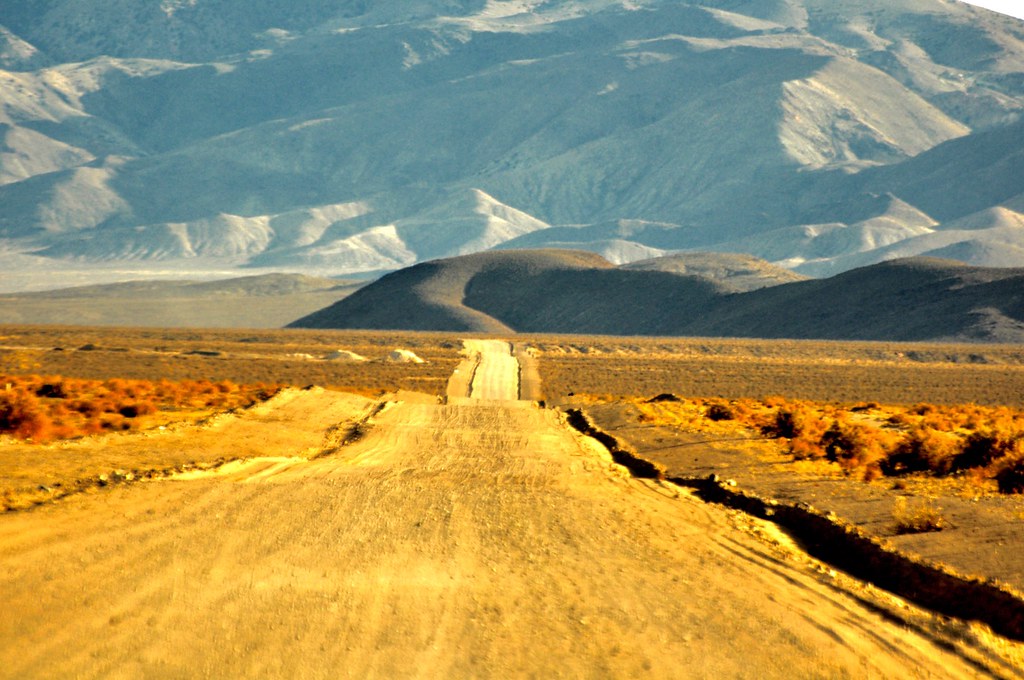 Road to Rawhide
 by
Overland Frontier, on Flickr
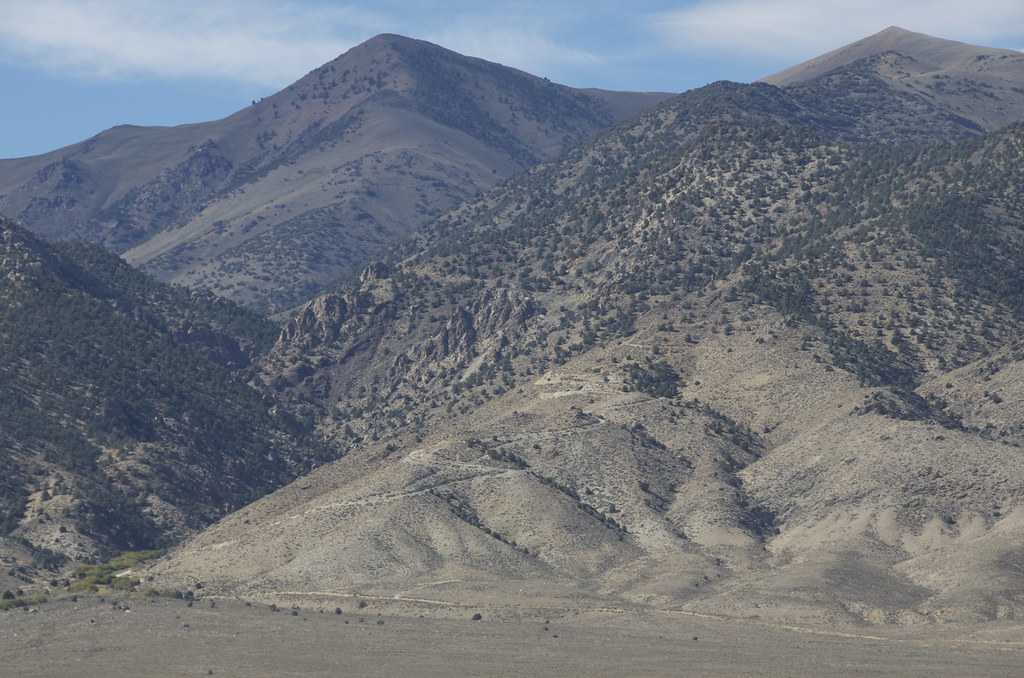
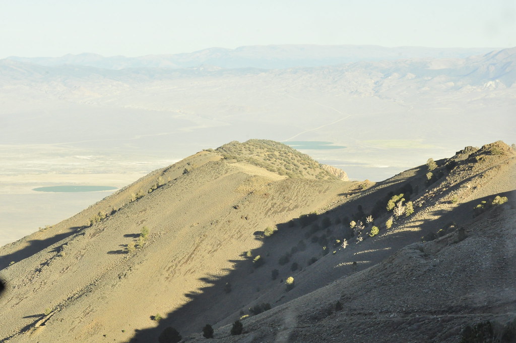
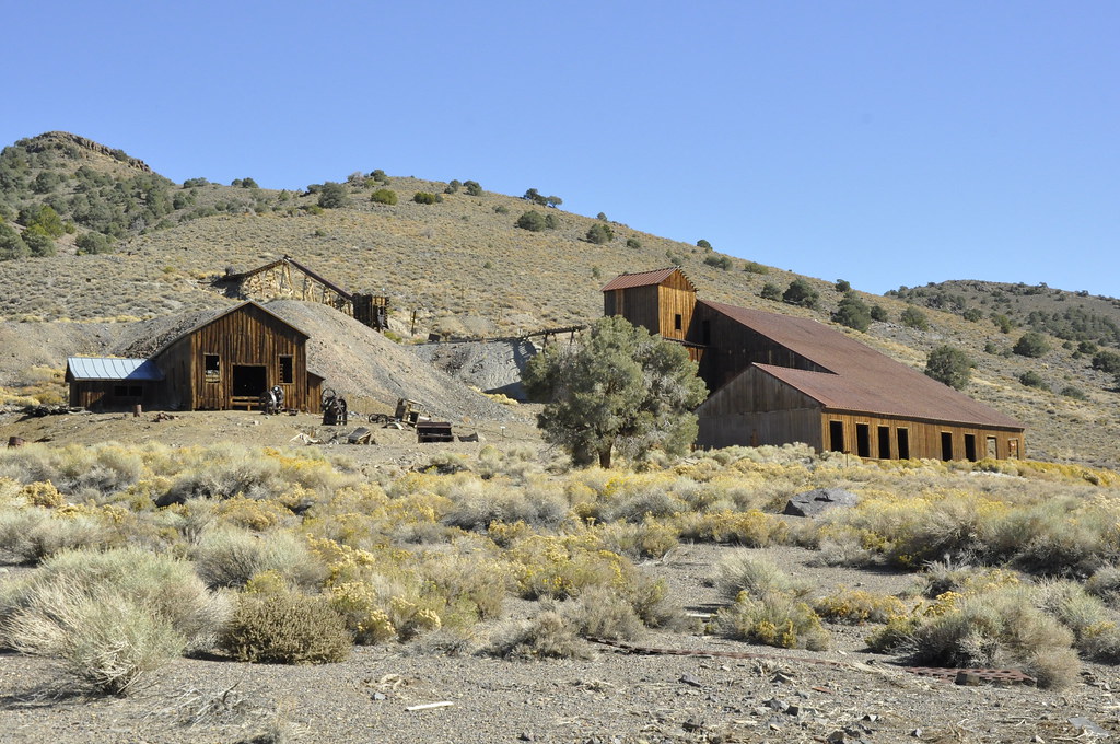
We were really happy that we decided to explore short side road to Poinsettia Mine. As we crested a ridge, we were surprised to see such an intact mining camp beside the Poinsettia Mine.
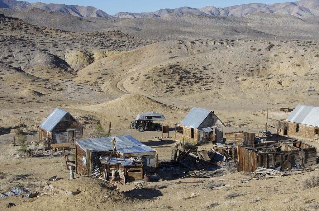 Poinsettia Mine Valley View
 by
Overland Frontier, on Flickr
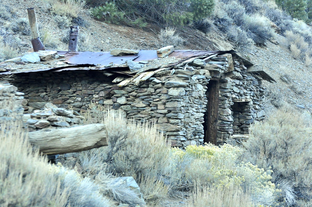
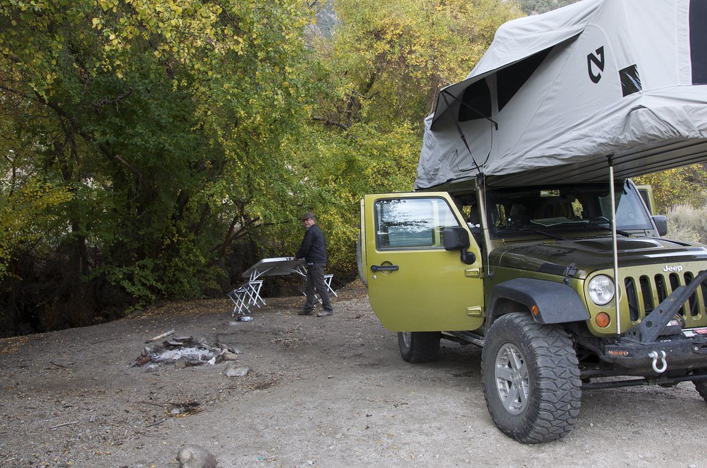
Poinsettia Mine has been adopted and is well kept by the Hawthorne Boy Scouts, a nice spot for overnight camp for those who respect the site.
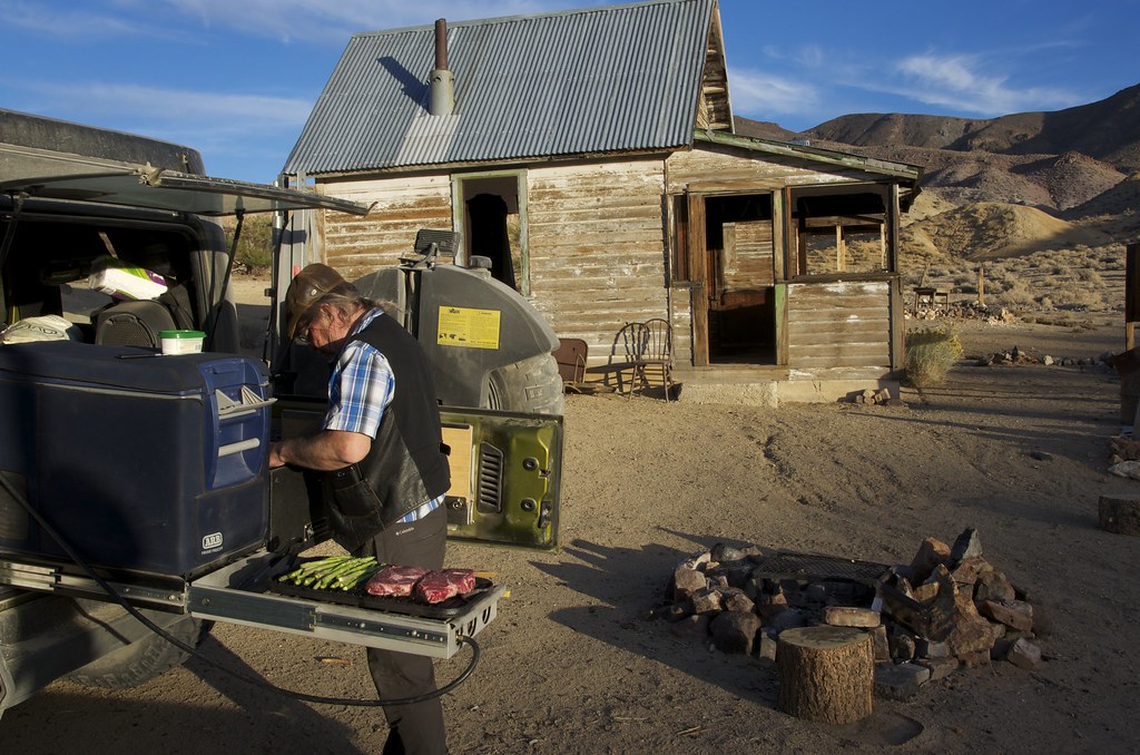 Poinsettia Mine Camp.
 by
Overland Frontier, on Flickr
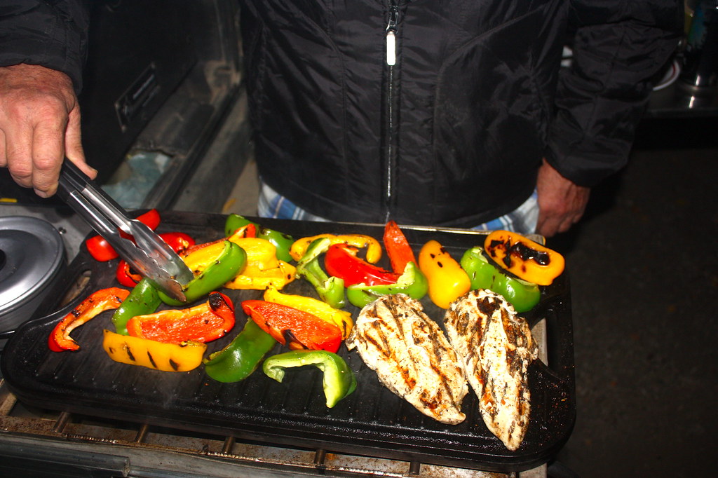
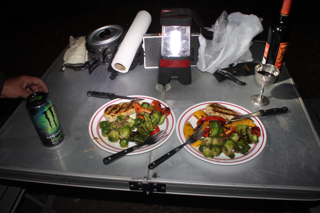
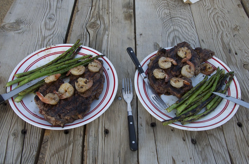 Fine Dinning at Poinsettia Mine.
 by
Overland Frontier, on Flickr
By 1907 the shine was starting to come off the price of Silver in Tonopah and labor troubles were stalling Goldfield success, where citizens awoke to find a sign on a vacant church; “This Church is closed. God has gone to Rawhide”. Tek Rickard, ever the promoter, was trying to draw attention to Nevada's latest bonanza. Check out Tek Richards colorful story in our Detailed Scouting Report on page 20:
http://www.overlandfrontier.com/sites/default/files/preview/leg/nevada/leg2/index.html
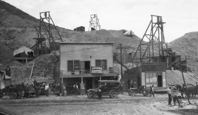 Rawhide
 by
Overland Frontier, on Flickr
We were anxious to explore the mines peppered across Hooligan Hill, Murray Hill, Balloon Hill and Grutt Hill on our old map, but they were now off-limits. Unfortunately, the ruins of Rawhide and the old mines have been obliterated by a strip mining operation. We would rate most of exploratory route Easy, but there were no services whatsoever in this remote region and we encountered a few eroded sections that could easily become Moderately Difficult.
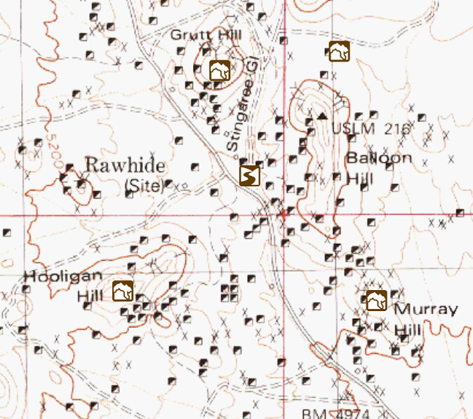 Rawhide Map
 by
Overland Frontier, on Flickr
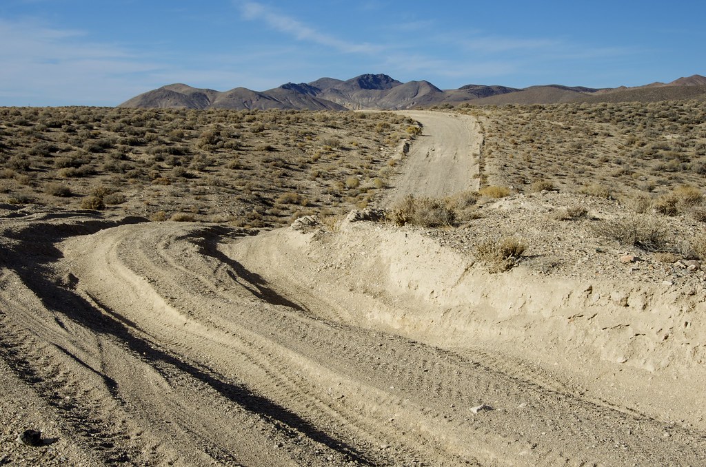 Road to Connecting to Pony Express
 by
Overland Frontier, on Flickr
The trail north runs below the Cocoon Mountains. The route encounters the Pony Express near Rock Springs. In 1860 the Overland Stage was taking 22 days to deliver mail, on their faster Southern route from New York to San Francisco, until the Pony Express stepped it up to 10 days on the Northern route.
 Pony Express
 by
Overland Frontier, on Flickr
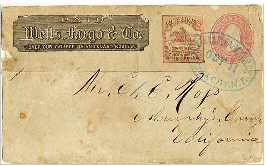 Pony Express and Overland Stage Mail
 by
Overland Frontier, on Flickr
Traveling the roller-whoops along the Pony Express Route.
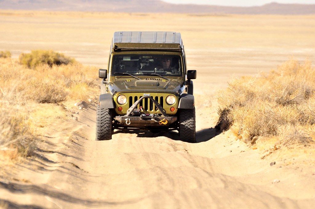 Pony Express Trail.
 by
Overland Frontier, on Flickr
The Pony Express followed the Overland Stage Route except where they could take cross-country short cuts. This section was one of those, until Indian Wars forced the Overland Stage South of Carson Lake, on the Pony Express short cut.
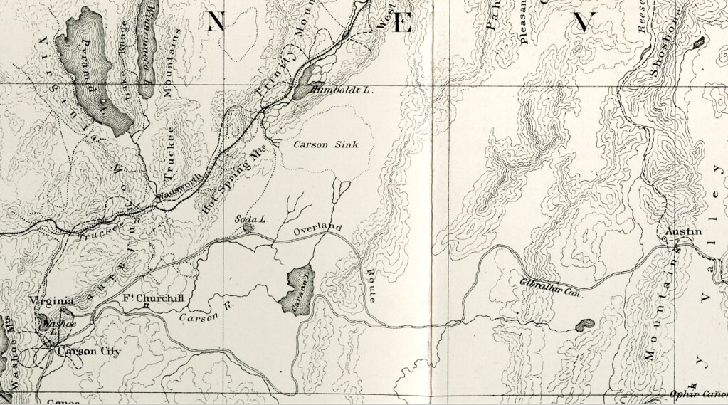 1867 Geological Exploration of the Fortieth Parallel
 by
Overland Frontier, on Flickr
As the Pony Express crosses Bass Flat, private land required a by-pass around Carson Lake. Timothy O'Sullivan photographed his darkroom wagon at Carson Sink, just North of here, as the official photographer of the Geological Exploration of the Fortieth Parallel, in 1867.
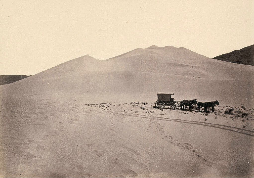 Carsons Sink.
 by
Overland Frontier, on Flickr
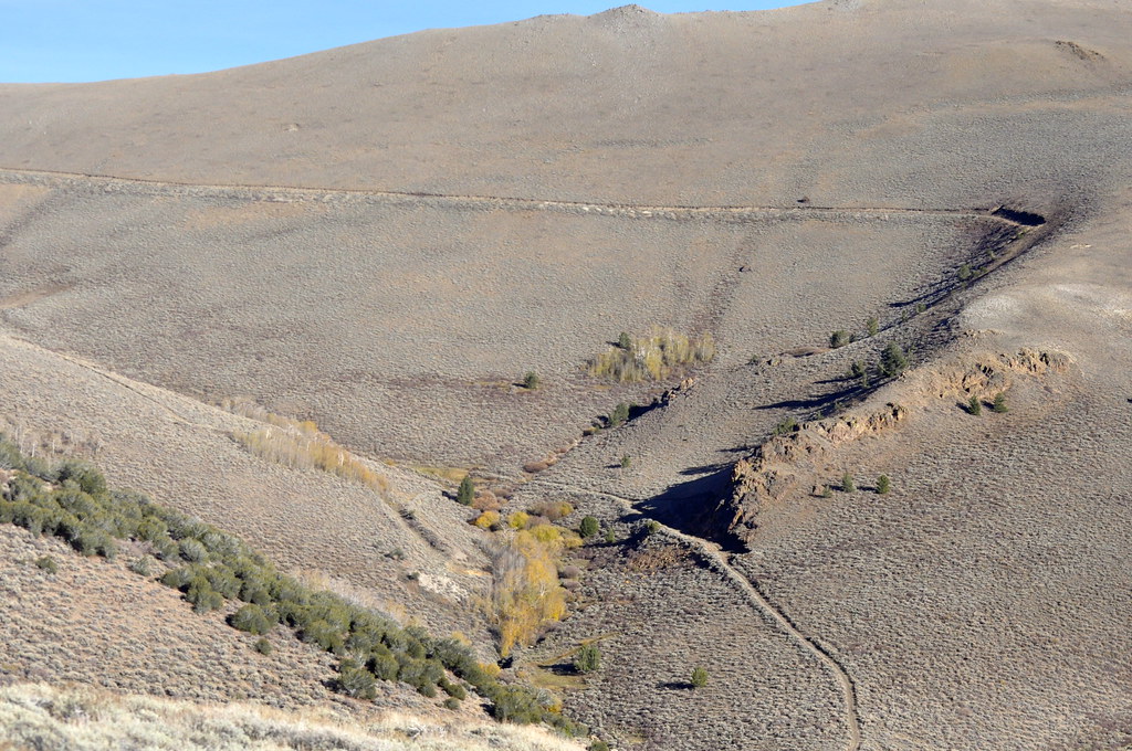
Thanks to our GaiaMaps App (what a deal for $20 unlimited use), we were able to discover and travel along a little original section of the Pony Express. We used the app on our iPad to retrace the PonyX on USGS maps. At first, we mistakenly followed the trail along the drainage cannel, but found the gate just South, was right inline with the old XP route.
Some sections of the Pony Express see very little traffic and require a GPS to be followed. We were encouraged that we were indeed on the original route, when we came across celebrated remains of Telegraph poles.
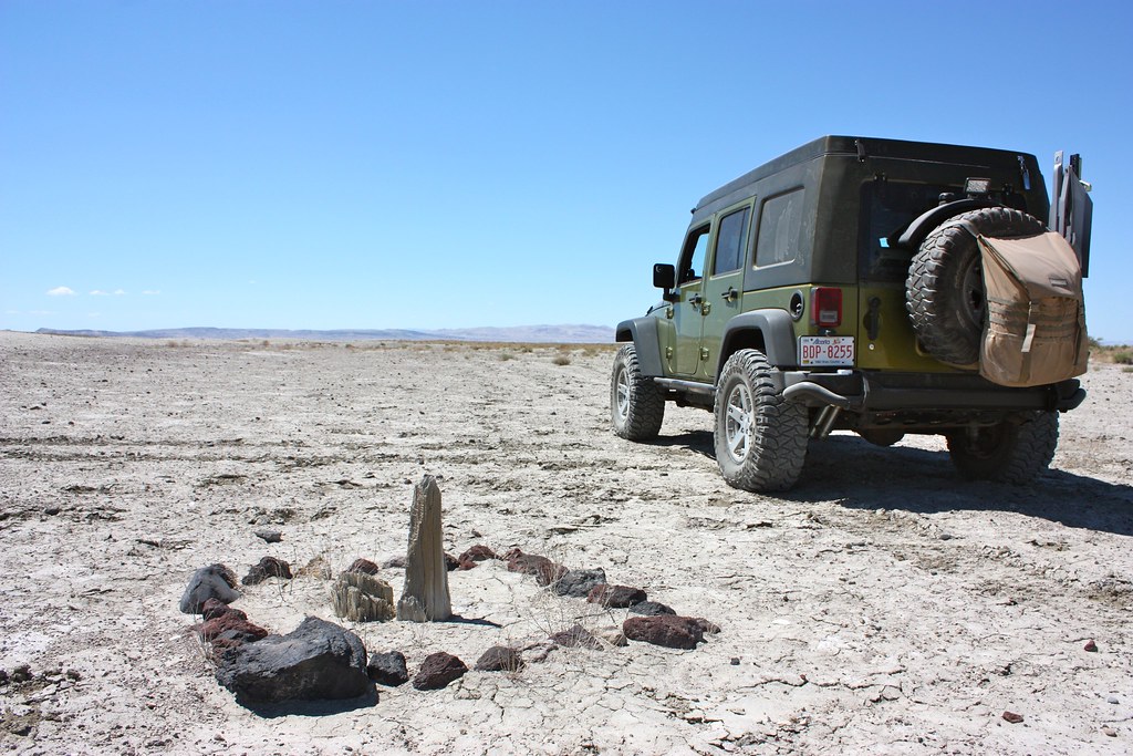 Pony Express Route - Telegraph Pole
 by
Overland Frontier, on Flickr
The completion of the national telegraph line put an end to the Pony Express, bringing the 18 month rocket ride to a grinding halt in 1861 – but not before playing a valuable role in the Civil War effort for President Lincoln, by keeping the caretakers of this massive wealth onside with the Union.
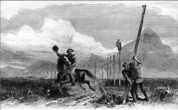 Telegraph Line, the end of the Pony Express.
 by
Overland Frontier, on Flickr
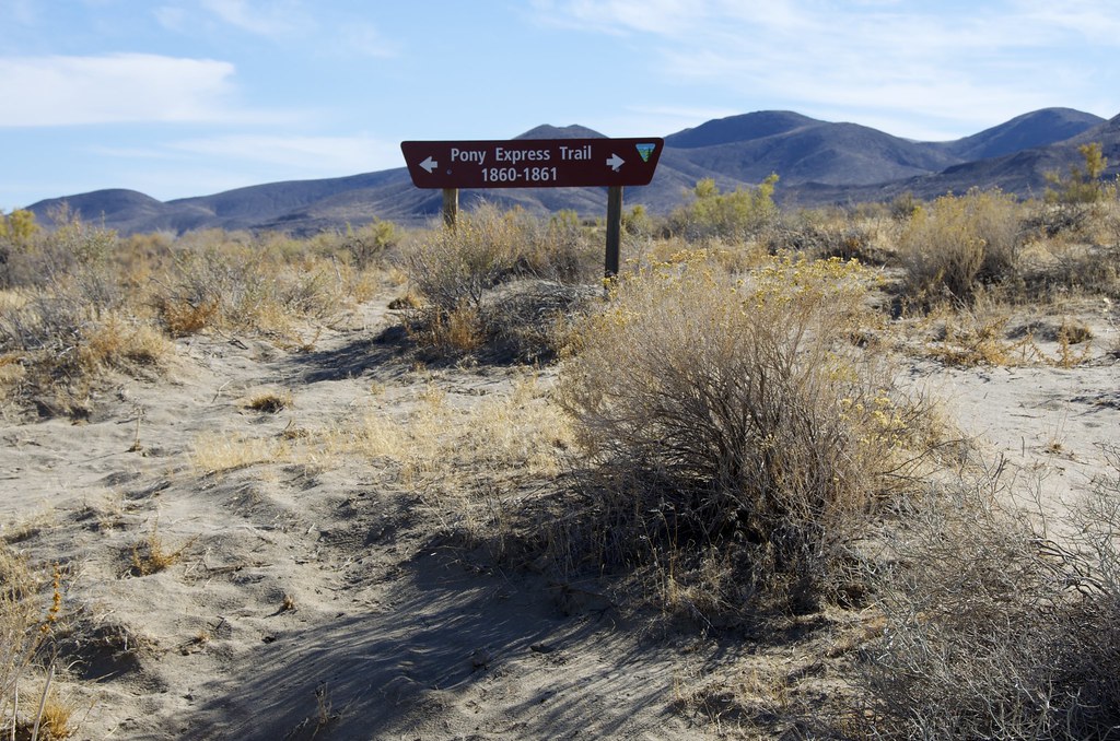
Even though were following a live GPS map that showed, in real-time, that we were on/near the original trail, it was reassuring to run into posted XP signage – it was a kick.
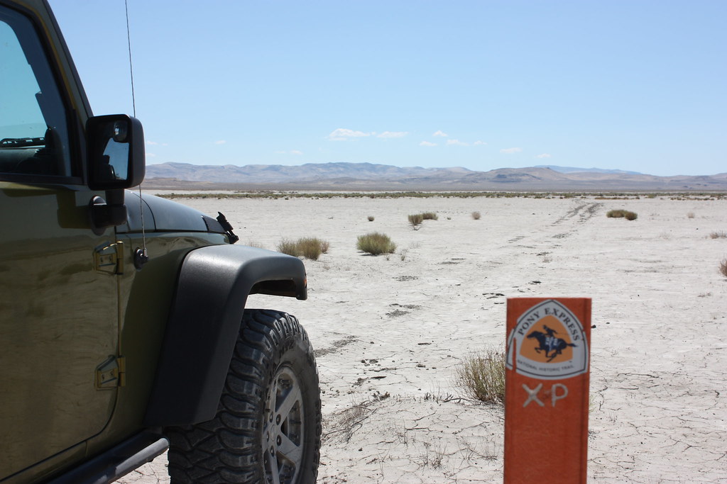 Pony Express Trail Marker.
 by
Overland Frontier, on Flickr
Parts of the Pony Express have become a more defined road that, during Indian wars, was also used by the Overland Express Stage.
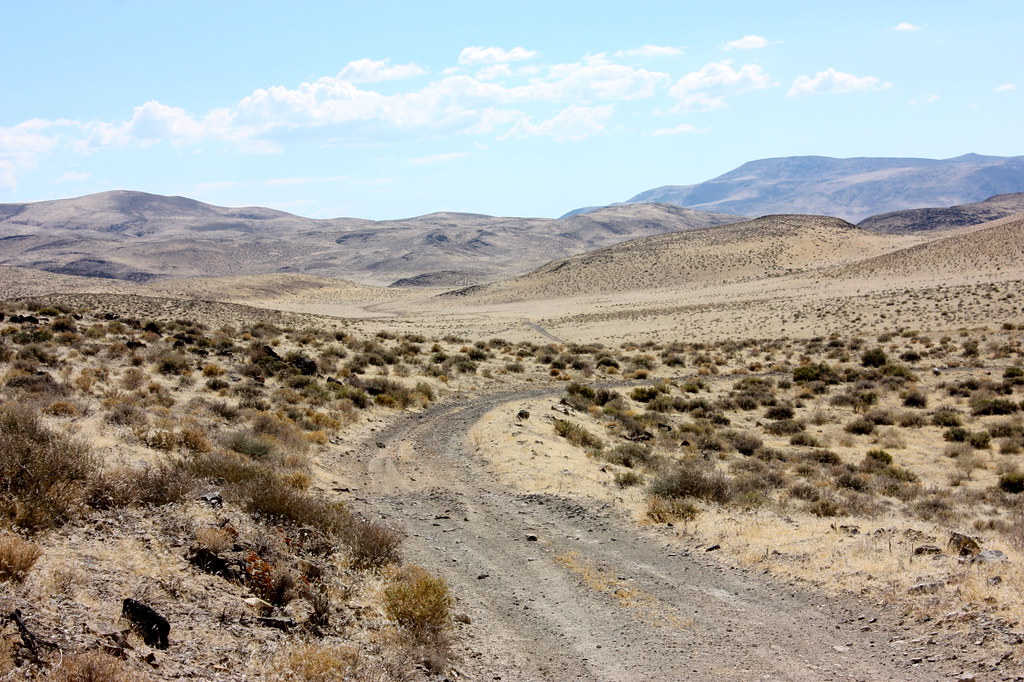 Pony Express & Butterfield Overland Stage Route.
 by
Overland Frontier, on Flickr
Relay stations that are 12-15 miles apart. Our USGS maps guided us, in a round about way, to the ruins of Desert Station and the surviving Buckland (home) Station.
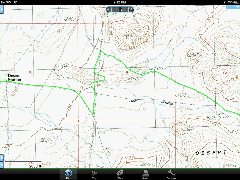 Desert Station Map.
 by
Overland Frontier, on Flickr
Desert (relay) Station ruins. It is surprising to see how much of the station and nearby stable remains considering it was built 150 years ago and was only used for 18 months, and faced many Indian attacks.
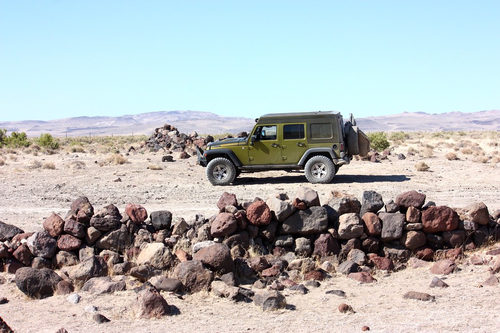 Pony Express Desert Station and Stable
 by
Overland Frontier, on Flickr
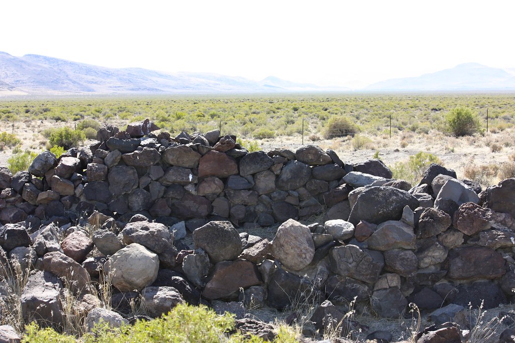 Pony Express Station Ruins.
 by
Overland Frontier, on Flickr
Samuel Buckland settled here in 1859 just in time to establish a log and tent hotel/saloon/stopping house for the Overland Stage and the Pony Express. Each one-way XP delivery took 75 horses. Superintendents set up “Home Stations” every 65 to 100 miles to ensure replacement horses; feed and food were available for regional relay stations. A new Buckland Home Station was built with salvage windows and doors purchased from Fort Churchill, when the nearby post was closed in 1869.
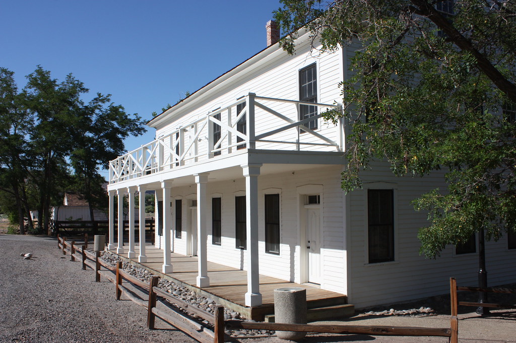 Buchanon Ranch, Overland Stage and Pony Express Station.
 by
Overland Frontier, on Flickr
Buckland Station was used as an assembly station for volunteers during the 1860 Pyramid Indian Wars. Nearby Fort Churchill was erected in 1861 to help reduce friction with natives. Considerable adobe ruins survive
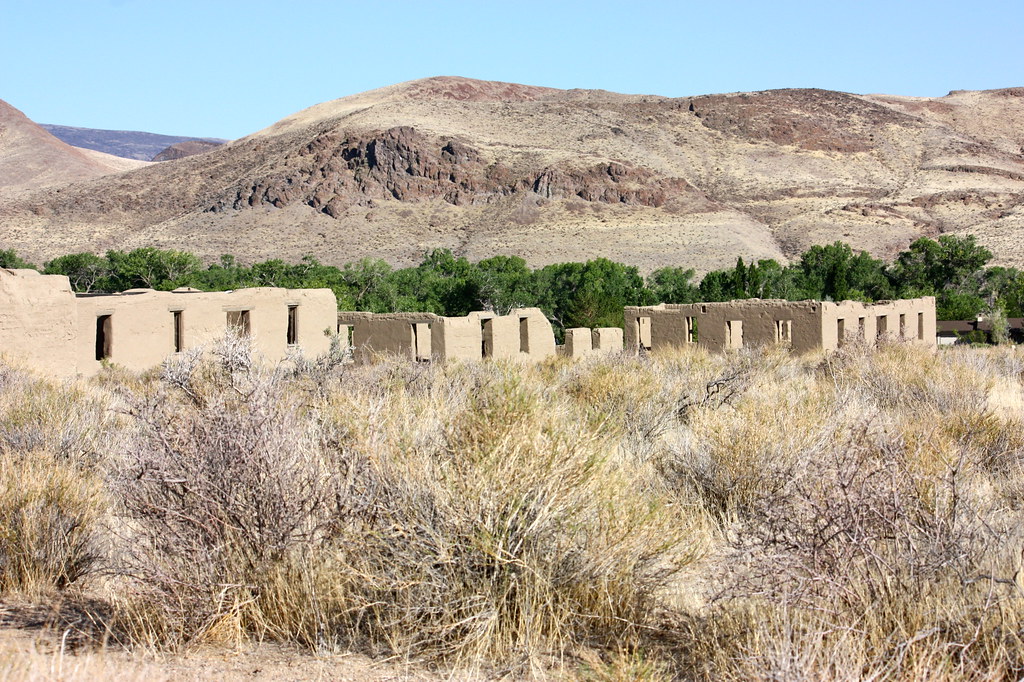 Fort Churchill Adobe Ruins.
 by
Overland Frontier, on Flickr
We have just enhanced our free on-line Scouting Report sequential slideshow documentary of the route explored to 49 photos and maps, including several great additional dispersed campsite regions near Fort Churchill; a perfect springboard for a full day in Virginia City, once of the best boomtown survivors in America – our next post. Check out:
http://www.overlandfrontier.com/trek-legs/berlin-side-door-pony-express-and-ft-churchill
Our free GPS/GPX Tracklog for the full three Trek Leg series, can be found at:
http://www.overlandfrontier.com/trek-series/nevada-pony-expressoverland-stage-route-virginia-city
Hope this thread helps inspire you to plan your own journey and get out there.
If you like this type of route coverage, we could use your help with a ‘Like' on Facebook.

