Finally got back in Whitehorse after checking out Haines & skiing at Haines Pass for 3 days! Once again we had amazing 1ft winter fresh powder on 3 Guardsmen north bowl & Nadahinni Glacier.
We are now reorganizing for our drive up north. Hopefully we'll be able to get to Tuk & back to Inuvik b4 the iceroad gets shut for the season.
Ok, some previews:
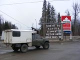
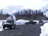
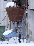
Kitwanga Jct:
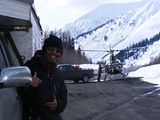
Bell 2 (Ningunsaw Pass):
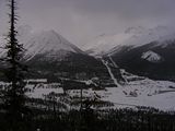
Cassiar:
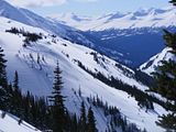
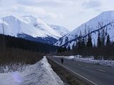
WhitePass:
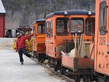
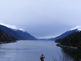
Skagway:
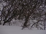
Haines:
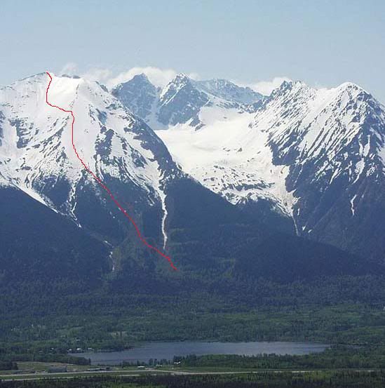
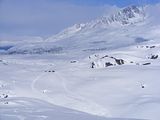
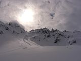
Haines Pass - Nadahinni (Ptmargins):
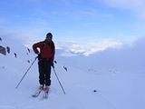
Haines Pass - 3 Guardsmen:
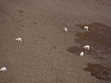
Kluane Lake - Sheeps:
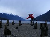
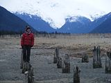
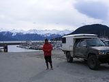
Bike Mech: The camping in Skagway is great! All you needed to do is drive less then 10 mies out of town to Dyea & they have great city run campground right off the bay by the water. April is great to visit AK, as we are litterally the only one on the road & places everywhere we go.
We are now reorganizing for our drive up north. Hopefully we'll be able to get to Tuk & back to Inuvik b4 the iceroad gets shut for the season.
Ok, some previews:
Kitwanga Jct:

Bell 2 (Ningunsaw Pass):


Cassiar:


WhitePass:


Skagway:


Haines:

Haines Pass - Nadahinni (Ptmargins):

Haines Pass - 3 Guardsmen:

Kluane Lake - Sheeps:

Bike Mech: The camping in Skagway is great! All you needed to do is drive less then 10 mies out of town to Dyea & they have great city run campground right off the bay by the water. April is great to visit AK, as we are litterally the only one on the road & places everywhere we go.
Last edited: